|
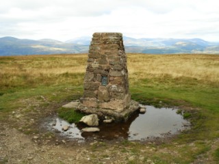
Loadpot Hill
| Height: |
2,201 feet 671 metres |
 |
| Ranking: |
102 |
| Grid Ref: |
NY 457 181 |
| Map: |
North-eastern area |
| Book: |
Far Eastern fells |
| DATE |
WALK |
DISTANCE |
ASCENT |
|
Sunday, 13th September 2009 |
Helton, Bampton Common,
Wether Hill, Loadpot Hill,
Bonscale Pike,
Arthur's Pike, Helton Fell, Knotts |
12.4 mls |
1,900 ft |
|
Sunday, 15th March 2009 |
Bampton Common,
Wether Hill, Loadpot Hill,
Bonscale Pike, Arthur's Pike,
Helton Fell |
12.5 mls |
2,100 ft |
|
Thursday, 19th February 2009 |
Askham, The Cockpit, Loadpot Hill,
Bonscale Pike,
Arthur's Pike,
Heughscar Hill (OF) |
13 mls |
1,800 ft |
| Sunday, 30th March 2008 |
Askham, Heughscar Hill, The Cockpit, Arthur's
Pike, Bonscale Pike, Loadpot Hill, Roman Road (course of) |
12.5 mls |
2,400 ft |
| Wednesday, 19th September
2007 |
Askham,
Heughscar Hill (OF), The Cockpit,
Arthur's Pike, Loadpot Hill, Brown Rigg, The Cockpit, Riggingleys Top, Askham |
12 miles |
2,000 feet |
| Sunday, 31st August 2003 |
Pooley Bridge, Arthur's Pike,
Bonscale Pike, Loadpot Hill, Wether Hill, Steel Knotts, |
13.5 miles |
2,850 feet |
Return to Wainwrights List
|