|
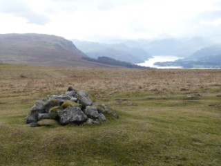
Heughscar Hill
| Height: |
1,230 feet 375 metres |
 |
| Area: |
Far Eastern Fells |
| Grid Ref: |
NY 488 231 |
| Map: |
North-eastern area |
| Book: |
Outlying Fells |
| DATE |
WALK |
DISTANCE |
ASCENT |
|
Thursday, 19th February 2009 |
Askham, The Cockpit,
Loadpot Hill,
Bonscale Pike,
Arthur's Pike, Heughscar
Hill |
13 mls |
1,800 ft |
|
Sunday, 30th March 2008 |
Askham, Heughscar Hill, The Cockpit,
Arthur's
Pike, Bonscale Pike,
Loadpot Hill, Roman Road (course of) |
12.5 mls |
2,400 ft |
| Wednesday, 19th September
2007 |
Askham, Heughscar Hill, The Cockpit,
Arthur's
Pike, Loadpot Hill, Brown Rigg, The Cockpit, Riggingleys Top, Askham |
12 miles |
2,000 feet |
Return to Outlying Fells List
|