|
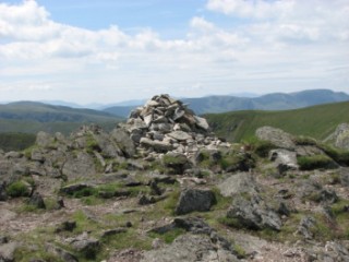
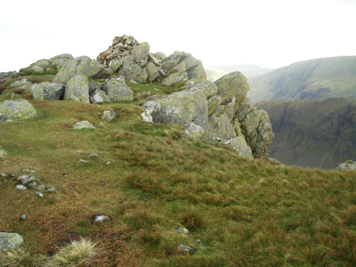
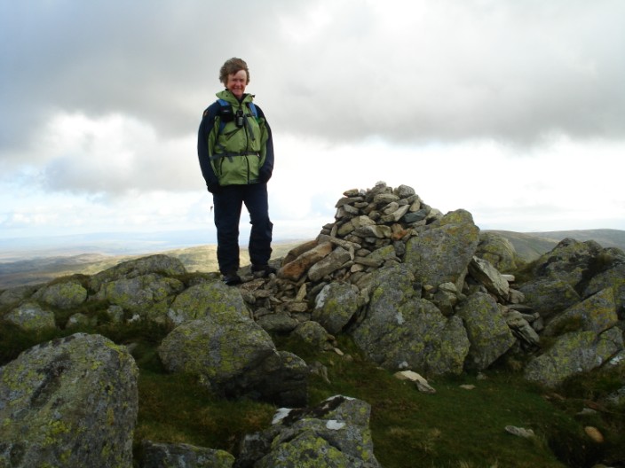
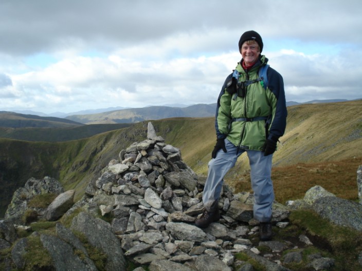
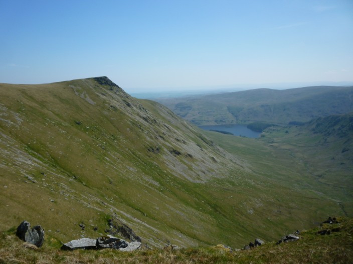
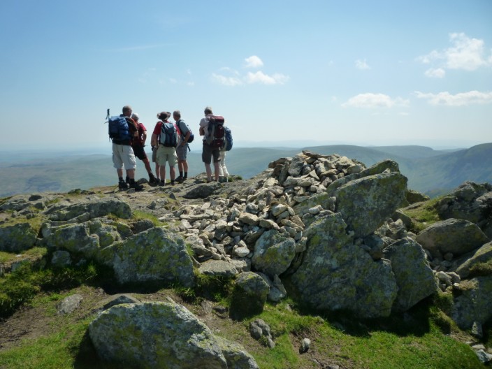
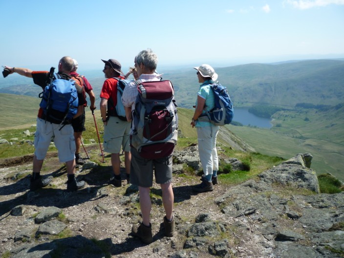
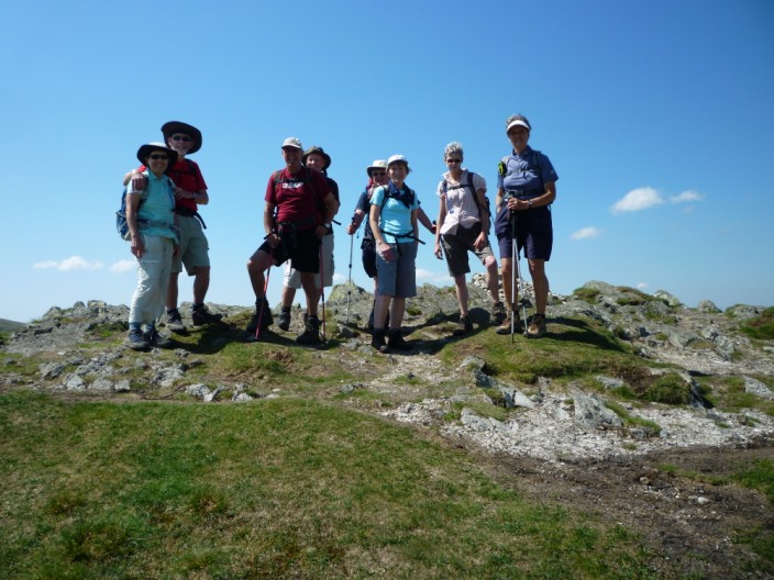
Kidsty Pike
| Height: |
2,569 feet 780 metres |
 |
| Ranking: |
46 |
| Grid Ref: |
NY 448 126 |
| Map: |
North-eastern Area |
| Book: |
Far Eastern Fells |
| DATE |
WALK |
DISTANCE |
ASCENT |
| Monday, 16th May 2016 |
Pasture Bottom. Threshthwaite Mouth, Thornthwaite Crag, High Street, Kidsty Pike, Rampsgill Head, The Knott, Hayeswater, Hayeswater Gill |
9 mls |
2,750 ft |
| Wednesday, 29th October 2014 |
Brock Crags, Angletarn Pikes, Satura Crag, Rest Dodd, Rampsgill Head, Kidsty Pike, The Knott, Hayeswater |
9 mls |
3.500 ft |
| Sunday, 1st June 2014 |
Hartsop Dodd, Stony Cove Pike, Threshthwaite Crag, Thornthwaite Crag, High Street, Kidsty Pike, Rampsgill Head, The Knott, Satura Crag, Brock Crags |
13 mls |
3,875 ft |
|
Sunday, 27th May 2012 |
Cow Bridge car park, Hartsop,
The Knott,
Kidsty Pike, High Raise,
Rampsgill Head,
Rest Dodd, Satura Crag,
Angletarn Pikes,
Brock Crags, Hartsop |
11.7 mls |
3,870 feet |
|
Tuesday, 15th December
2011 |
Hartsop, Hayeswater,
The Knott, Kidsty Pike,
Rampsgill Head, Satura Crag,
Angletarn Pikes, Cat Crag,
Brock Crags, Calf Close |
12 mls |
3,230 ft |
|
Sunday, 12th June 2011 |
Mardale Head, Gatescarth Pass,
Harter Fell, Nan Bield Pass,
Mardale Ill Bell,
High Street,
Rampsgill Head, Kidsty Pike,
High Raise, Red Crag,
Bampton Common, Haweswater |
14.3 mls |
4,300 ft |
|
Sunday, 11th October 2009 |
St Peter's Church,
Steel Knotts,
High Raise, Kidsty Pike,
Rampsgill Head,
Rest Dodd, The
Nab, Angle Tarn, Beda Fell |
14 mls |
5,230 ft |
|
Wednesday, 22nd October
2008 |
Hartsop,
Brock Crags, Satura Crag, Rest Dodd,
Rampsgill Head,
High Raise, Kidsty Pike,
Rampsgill Head,
The Knott, Hayeswater, Hayeswater Gill |
8 mls |
3,080 ft |
October 2008
October 2008
October 2008
October 2008
October 2009
June 2011
November 2011
May 2012

May 2012
May 2012
May 2012
May 2012
Return to Wainwrights List
|