Monjo to Namche Bazar
Thursday 8th March 2012
| Distance |
4.5 miles |
| Total Ascent |
2,140 feet |
| Maximum Altitude |
11,180 feet |
| Time |
4 hours |
| Soon after leaving Monjo the trek enters the Sagarmartha
National Park which was established in 1976 to protect a 1,148 sq km
area surrounding Mount Everest. Beyond the National Park entrance
station the trail makes a steep rocky descent and crosses the Dudh
Kosi river on a 120m suspension bridge towards Jorsale. Beyond
Jorsale we cross the highest swing bridge, the Lara bridge then it's
up all the way to Namche Bazar. However, we are in for a treat, our
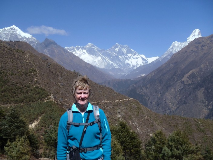
first view of Everest. Stopping at the lookout where two ladies are
selling satsumas, a gap in the trees reveals a clear view of Everest
beyond the Nuptse - Lhotse ridge. What a treat! After some time here
we continued on the upward trek until we saw the welcome sight of
habitation - and people washing clothes in the river. After lunch at
our tea house, the Kongde View, some of the group walked to a look
out at the National Park headquarters and spent time enjoying the
views of Everest, Thamserku and the Kongde Ri. |
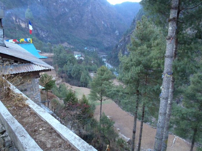
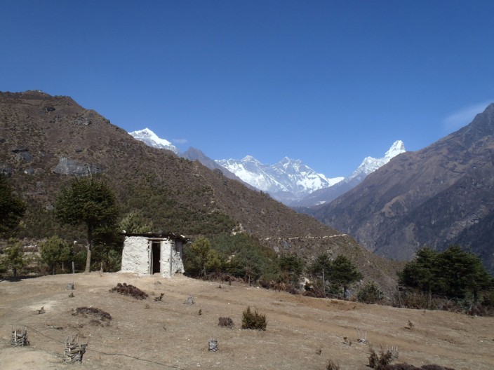
Looking back down the valley from our Tea House . . .
and up the valley
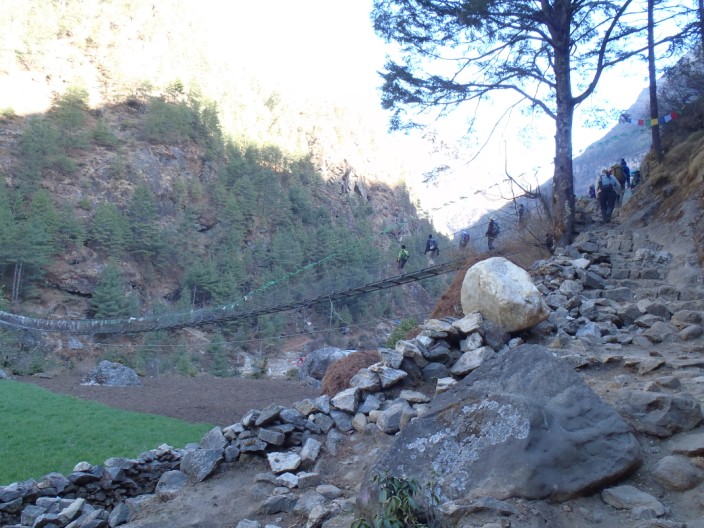
One more swing bridge - we should be expert at crossing these
now
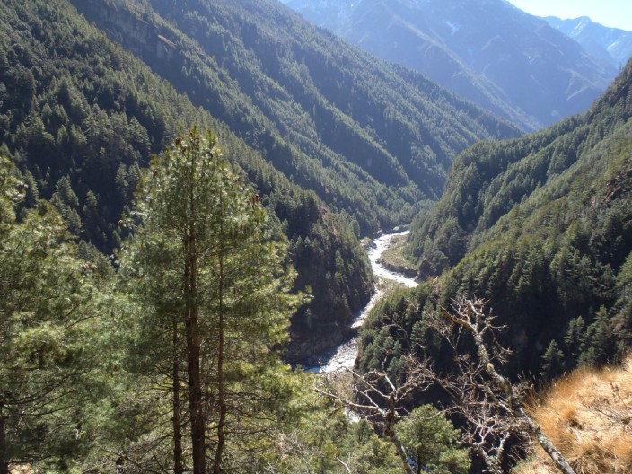
We have climbed up a long way . . .
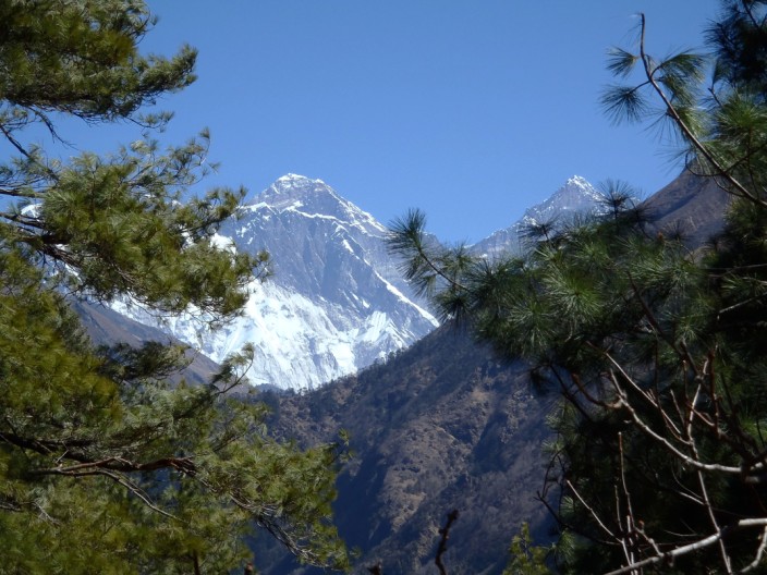
when we come to our first view of Everest . . .
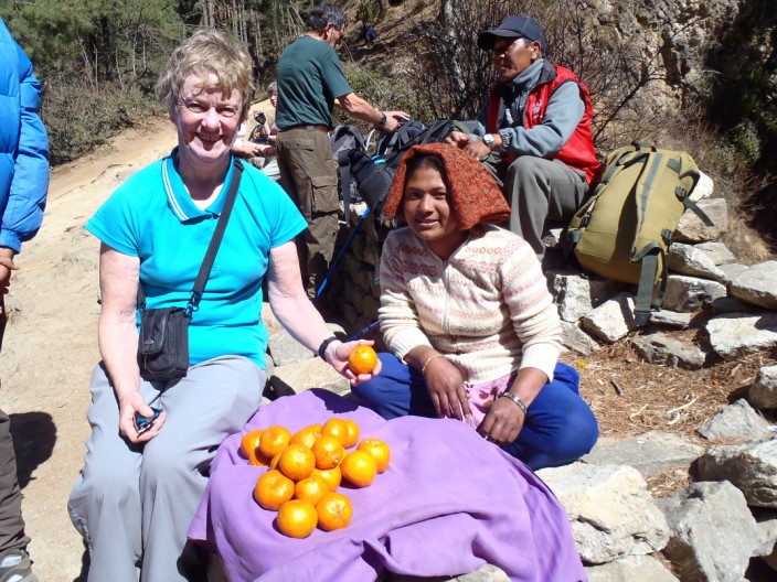
'Everest oranges' as we named them (though they were satsumas)
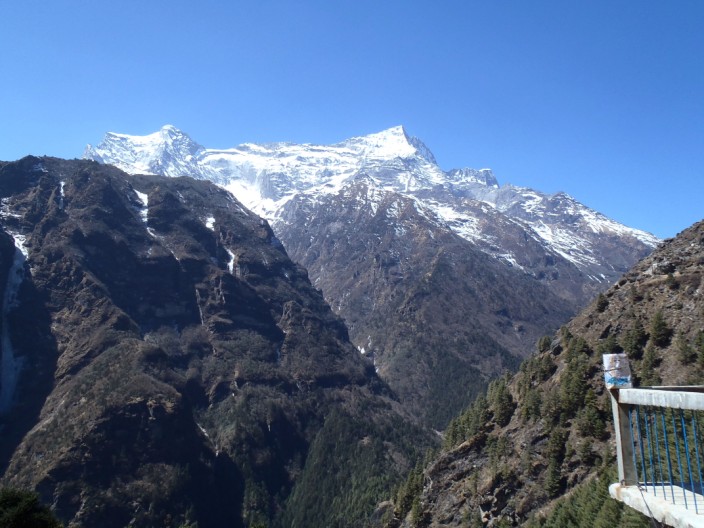
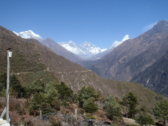
Another great view
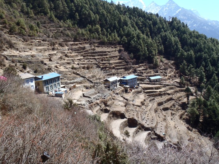
Houses are built in the most amazing places
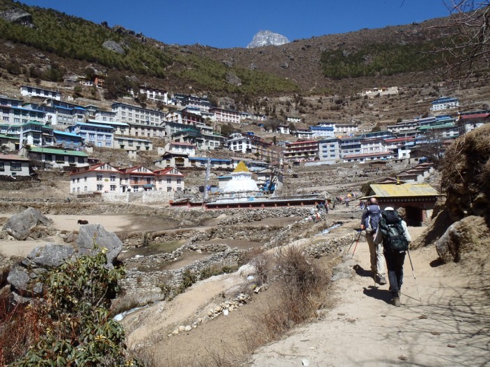
Entering Namche Bazar
From the lookout Everest is just visible behind the
Nuptse/Lhotse ridge and Ama Dablam can be seen on the right
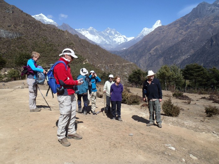
Time to just enjoy the view . . .
and take lots of photos . . .
including one for the family
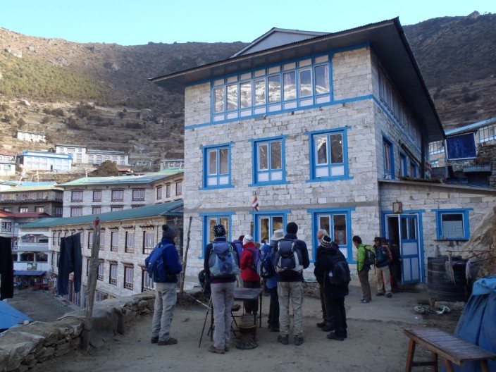
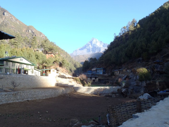
Our tea hut in Namche Bazar, the Kongde View
Previous Day
Next Day
Return
to Introductory Page
Top |