| Walk: | Great Whernside - Dowber Gill Beck, Providence Pot, Hag Dyke, Great Whernside, Hunters Sleets, Starbotton, returning to Kettlewell via Dales Way | ||
| Start Point: | Kettlewell | Grid Reference: | SD 968 723 |
| Distance: | 11.5 miles | Ascent: | 2,220 feet |
| Time: | 6.5 hours | ||
| Weather: | Dry but very breezy with a decidedly cool wind on the tops. Cloud free summits giving excellent visibility for most of the day except in afternoon showers. Wet underfoot due to rain earlier in the week. | ||
| Accompanied by: | Phil (leader) and 6 other members of the group | ||
| Comments: | After leaving Kettlewell we headed up Dowber Gill Beck - an interesting alternative to the higher path. After a brief inspection of Providence Pot, the entrance to a caving system, we continued up the gill and out onto the higher path. Some rather boggy ground had to be traversed before climbing to the summit of Great Whernside. Shortly afterwards the weather changed and it was 'on with the waterproofs'. By the time we stopped for lunch the sun was breaking through and we continued in improving weather. After heading down to Starbotton we returned via the Dales Way. | ||
Scroll down to see photos of the walk
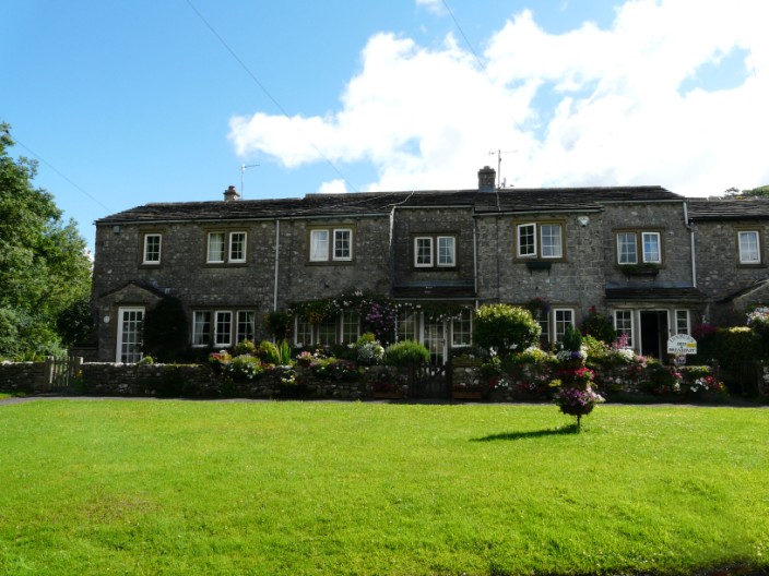
Leaving Kettlewell
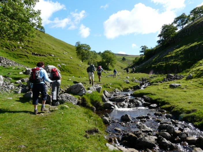
Heading up Dowber Gill Beck
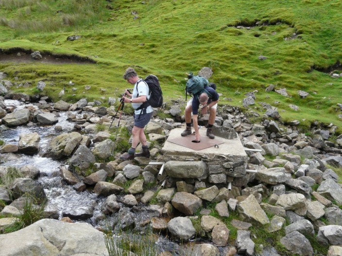
Ray and John inspect the entrance to Providence Pot
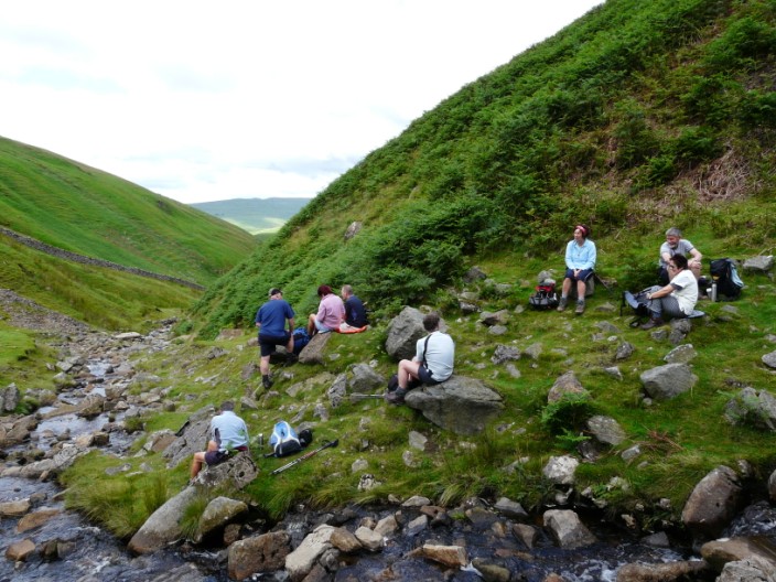
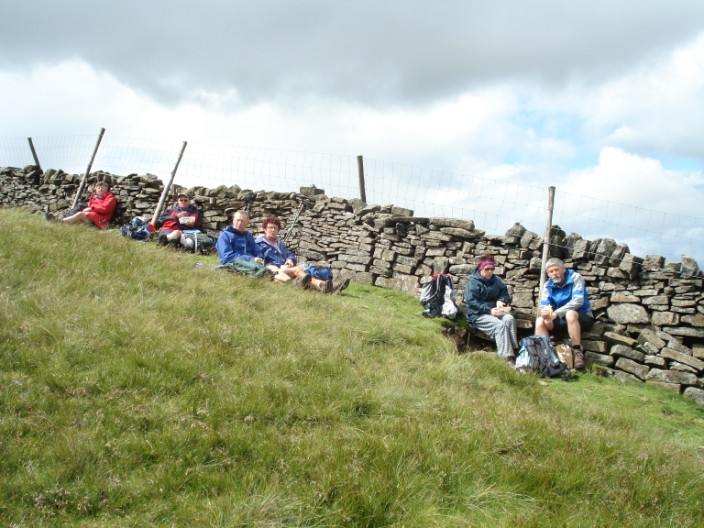
Elevenses
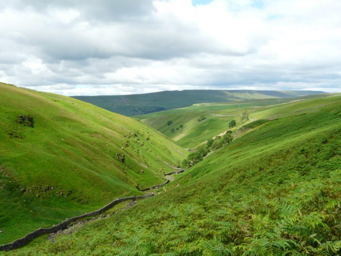
Looking back as we climb out of the gill
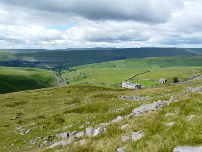
Guides' HQ
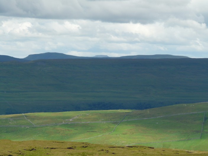
Pen-y-Ghent and Ingleborough
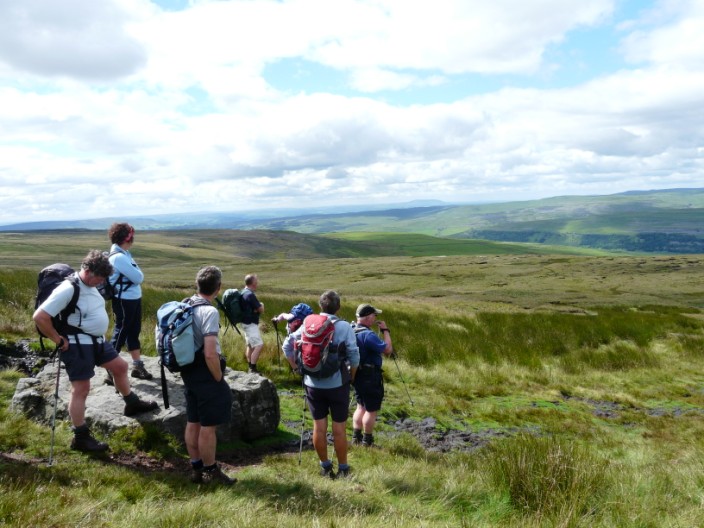
Surveying the scene
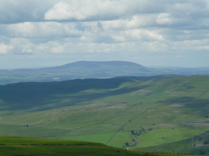
Pendle
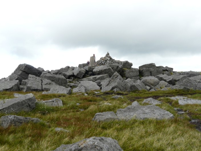
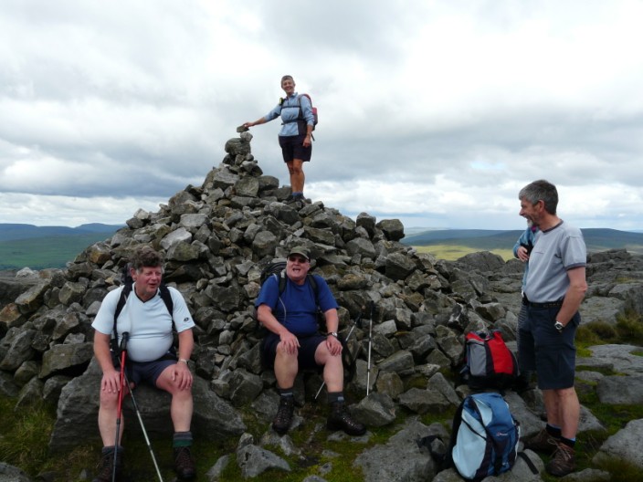
Summit of Great Whernside
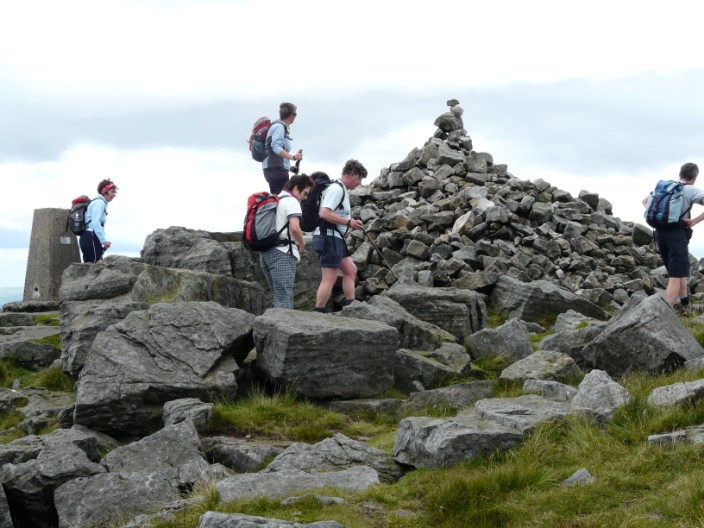
The group inspects the summit
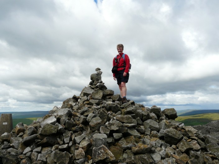
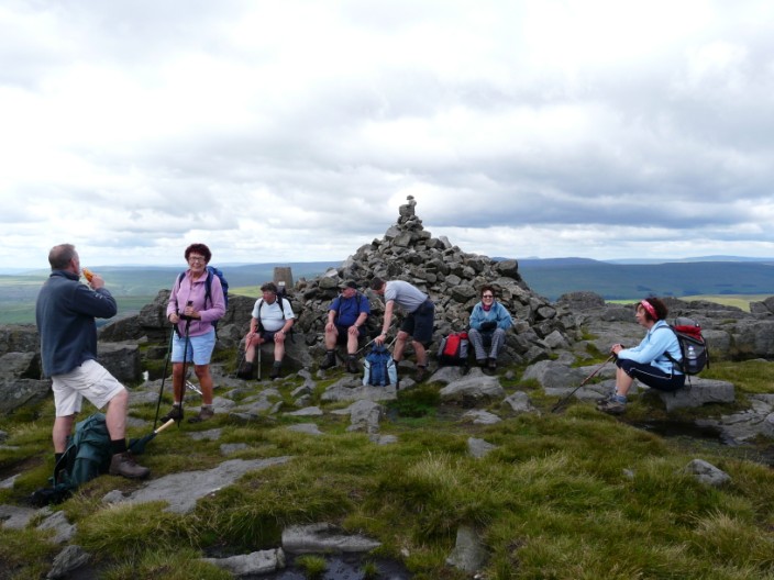
Kath plays 'King of the Castle' . . .
followed by Marie
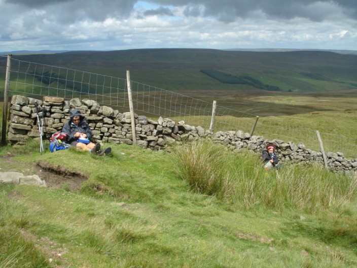
Is it time for lunch?
The sky may be blue but it has started to rain . . .
but it brightens up before long . . .
and the sun shines while we have lunch
Debbie and Marie opt for their own spaces
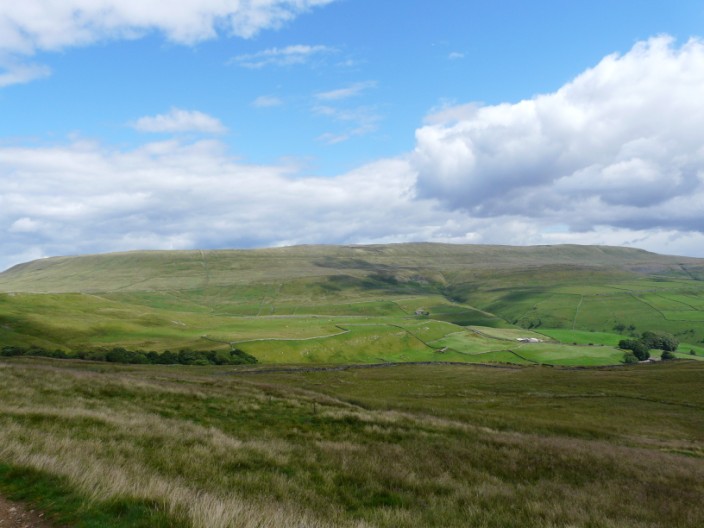
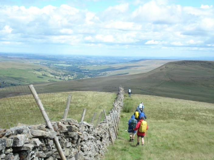
Looking back to Great Whernside
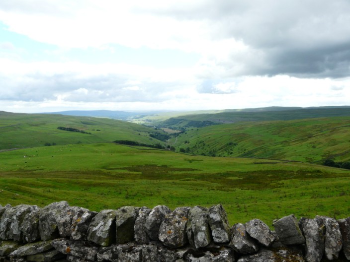
The un-named valley points the way to Kettlewell

Crossing the River Wharfe
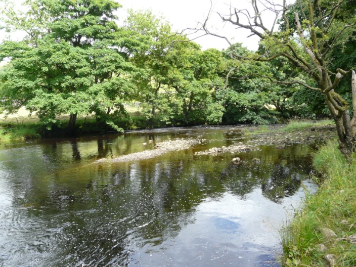
River Wharfe
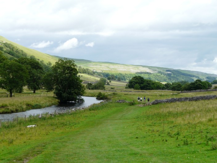
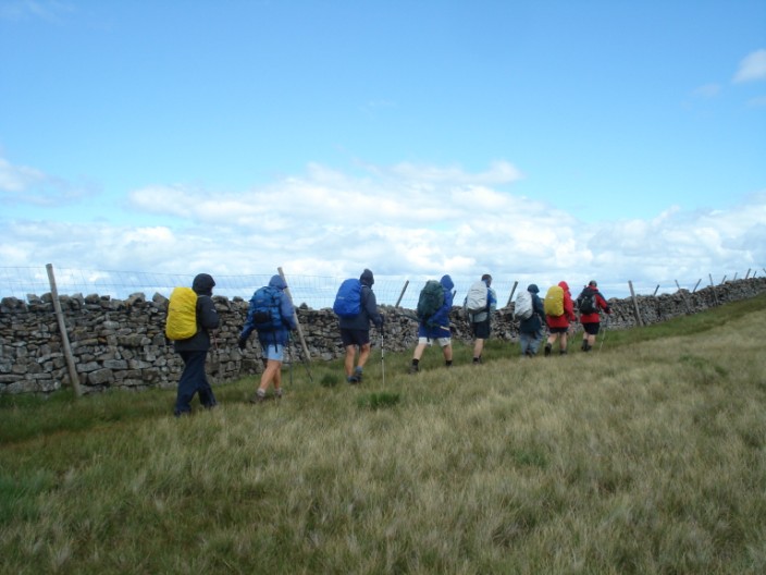
Heading back along the Dales Way