Wednesday, 22nd July 2009
| Walk: | Abbeystead, Tarnbrook, Ward's Stone, Grizedale Head, Higher Lee, Grizedale Bridge | ||
| Start Point: | Stoops Bridge | Grid Ref: | SD 563 543 |
| Distance: | 12 miles | Ascent: | 2,400 feet |
| Weather: | 5.5 hours | ||
| Accompanied by: |
On my own |
||
| Comments: | With a forecast of sunshine and showers and the prospect of walking through peat bog, was this a wise decision? The drizzle and mist had cleared by the time I reached Ward's Stone and the peat bog was reasonably easy to walk across, making it an enjoyable day. The initial stroll by the river was followed by a walk along a narrow country lane to the tiny hamlet of Tarnbrook. From here a 'shooters' track was followed for the majority of the climb. | ||
Scroll down to see photos of the walk

An unusual waymarker as I walk alongside Tarnbrook Wyre

The lovely green pastures near Gilberton Farm . . .

would soon be replaced by a more desolate landscape
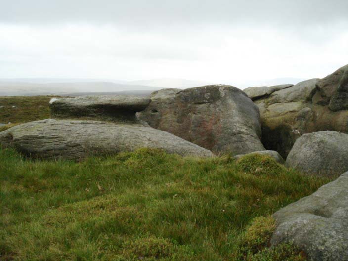
Rock formations near the easterly trig point . . .
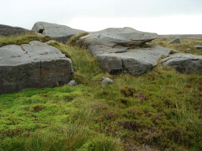
but I can't find any sign of the Queen's Chair . . .

or the Grey Mare and Foal that are supposed to be here . . .
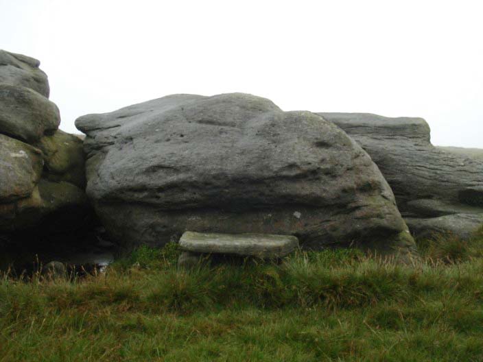
but I do find an impressive seat to stop for lunch

The large stone (Ward's Stone) by the westerly trig point . . .
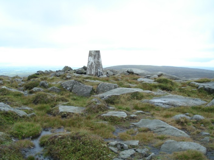
from where Grit Fell can be seen in the distance

The trig point again with Ward's Stone to the right
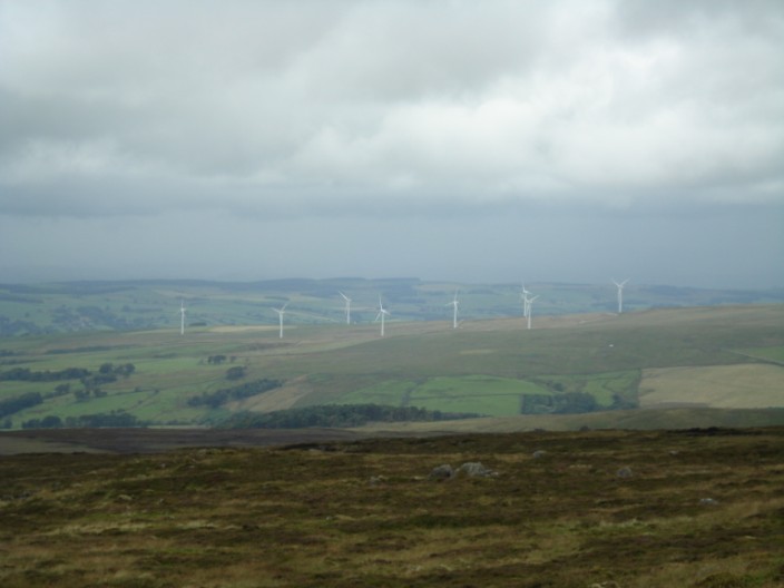
The wind farm at Caton Moor seems quite close from here

Grouse shooters' luncheon hut . . .
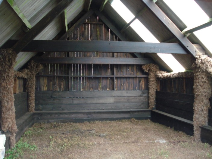
with a very smart interior

I'm glad there is a wall between us!