|
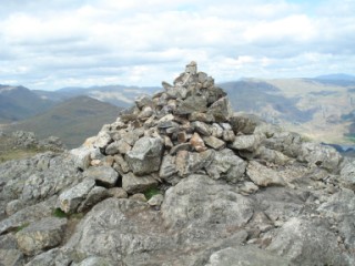
Wetherlam
| Height: |
2,502 feet 763 metres |
 |
| Ranking: |
56 |
| Grid Ref: |
NY 288 011 |
| Map: |
South-western Area |
| Book: |
Southern Fells |
| DATE |
WALK |
DISTANCE |
ASCENT |
|
Sunday, 15th August 2010 |
Walna Scar Road, Coppermines Valley, Red
Dell Valley, Wetherlam, Swirl How,
Great Carrs,
Grey Friar, Levers Hawse,
Brim Fell,
Coniston Old Man, Goat's
Water, Walna Scar Road |
11.5 mls |
3,665 feet |
|
Wednesday, 23rd June 2010 |
Coppermines Valley, Red Dell, Wetherlam,
Swirl How,
Great Carrs, Grey Friar,
Brim Fell, Goats Water, Walna Scar
Road |
11 mls |
3,540 ft |
|
Sunday, 18th October 2009 |
Tilberthwaite, Birk Fell, Wetherlam, Red
Gill Head Moss, Coppermines Valley, Far End, Yewland Fells, Yewdale
Beck |
8 mls |
3,100 ft |
|
Sunday, 14th September 2008 |
Walna Scar Road, Low Water,
Brim Fell,
Grey Friar,
Great Carrs,
Swirl How,
Wetherlam, Copper Mines
Valley |
10.6 mls |
3,470 ft |
|
Sunday, 18th May 2008 |
Hodge Close, Wetherlam Edge,
Wetherlam,
Swirl How,
Great Carrs, Wet Side
Edge, Little Langdale, Hodge Close |
10 mls |
3,400 ft |
| Wednesday, 29th August
2007 |
Walna Scar Road,
Brim Fell,
Swirl How,
Great Carrs, Swirl How, Wetherlam, Furness Fells, Miners Bridge, Walna Scar Road |
9 miles |
3,400 feet |
Return to Wainwrights List
|