|
Grey Friar
| Height: |
2,536 feet 773 metres |
 |
| Ranking: |
50 |
| Grid Ref: |
NY 260 004 |
| Map: |
South-western Area |
| Book: |
Southern Fells |
| DATE |
WALK |
DISTANCE |
ASCENT |
|
Sunday, 15th August 2010 |
Walna Scar Road, Coppermines Valley, Red
Dell Valley, Wetherlam,
Swirl How,
Great Carrs, Grey Friar, Levers Hawse,
Brim Fell, Coniston Old Man,
Goat's Water, Walna Scar Road |
11.5 mls |
3,665 feet |
|
Wednesday, 23rd June 2010 |
Coppermines Valley, Red Dell,
Wetherlam,
Swirl How, Great Carrs, Grey
Friar, Brim Fell, Goats Water, Walna
Scar Road |
11 mls |
3,540 ft |
|
Sunday, 14th September 2008 |
Walna Scar Road, Low Water,
Brim Fell, Grey Friar,
Great Carrs,
Swirl How, Wetherlam, Copper Mines
Valley |
10.6 mls |
3,470 ft |
|
Sunday, 1st April 2007 |
Wrynose Summit, Wet Side Edge,
Great Carrs,
Swirl How, Grey Friar, Dale Head, Cockley Beck, Wrynose Bottom, Wrynose Summit |
8 miles |
2.500 feet |
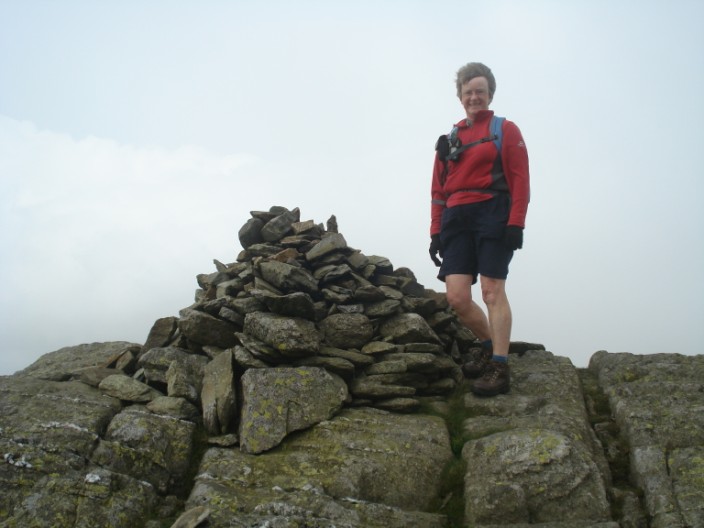
September 2008
September 2008
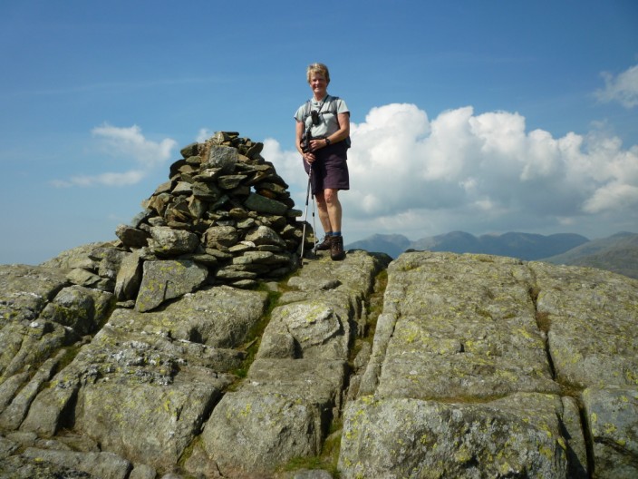
August 2010
August 2010
Return to Wainwrights List
|