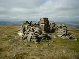
| Height: | 2,323 feet |
|
| Area: | Howgills | |
| Grid Ref: | SD 757 988 | |
| Map: | OS Explorer OL19 Howgill Fells and Upper Eden Valley | |
| Type: | Summit |
|
DATE |
WALK |
DISTANCE |
ASCENT | TIME TAKEN |
| Sunday, 17th April 2011 |
Cotegill Bridge, Mallerstang Valley, High Dolphinsty, The Nab, Wild Boar Fell, Yoadcomb Scar, Swarth Fell, Grisedale Common |
11 mls | 1,900 ft | 6.5 hrs |