Thursday, 8th July 2010
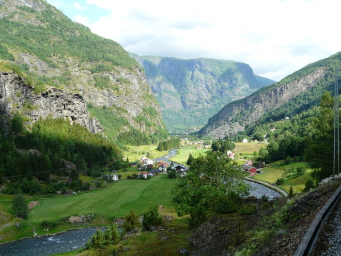
The highlight of today's journey was to be the trip on the Flåm Railway, or Flåmsbana. According to the brochure this is one of the world's most spectacular railway lines. 'The train journey from Myrdal to Flåm provides a panoramic view of some of the wildest and most striking examples of Norwegian mountain landscape. Rivers cut through deep ravines, waterfalls cascade down the side of steep, snow-capped mountains, and mountain farms cling dizzily to sheer slopes. At the foot of the mountains is the beautiful Flåm Valley and the majestic Aurlandsfjord, a branch of the world's longest fjord, the Sognefjord. The train takes about one hour to cover the 12.5 mile long track, through 20 tunnels totalling a distance of 3.7 miles . Almost 80% of the railway line has a gradient of 55%, the equivalent of 1:18'.
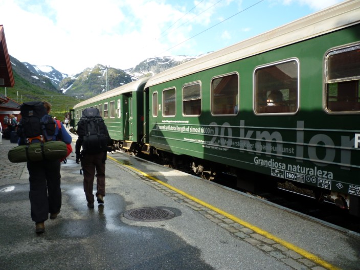
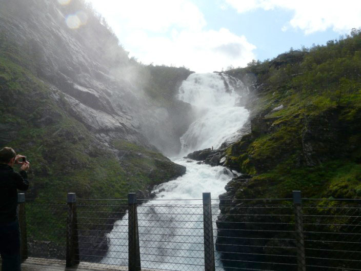
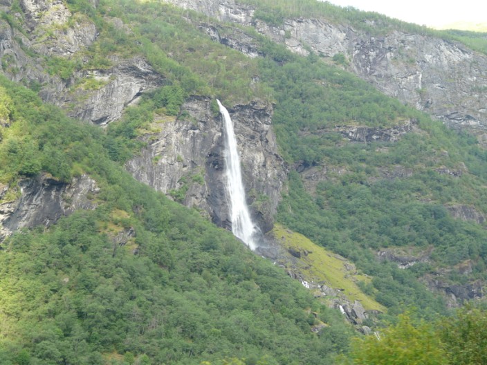
Leaving the hotel at 8.30am we caught the same train as on Monday, but this time continuing on to Myrdal. With a carriage reserved just for us on the Flåmsbana we were able to move easily from one side of the train to the other to take in the best views, and to capture them on camera. An early stop allowed us to alight from the train and take in the full splendour of the Kjosfossen with a total fall of 738 feet. During the main tourist season in the summer an actress dressed as a legendary Huldra (a seductive forest creature in Scandinavian folklore) dances and sings in front of the waterfall as the trains enter the station for the amusement of the tourists. The Huldra actresses are all students from the Norwegian ballet school. Continuing on our journey there were, as described above, spectacular views of valleys, waterfalls, mountains and ravines.
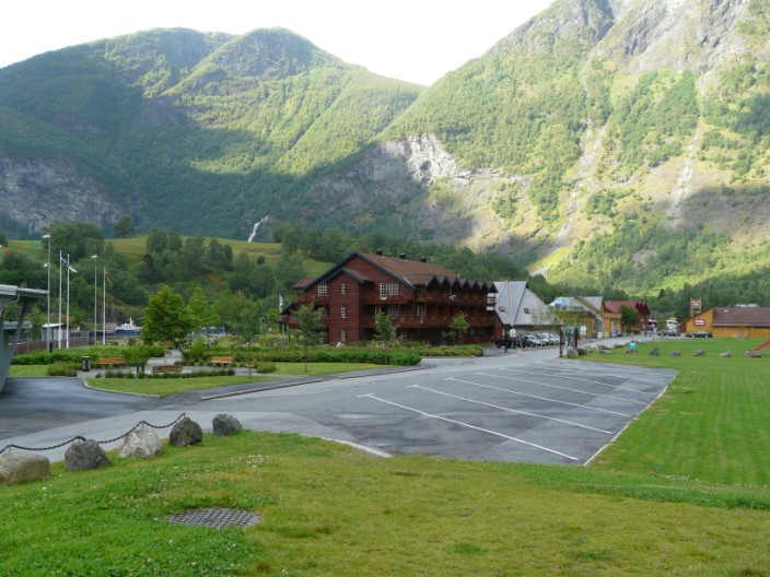
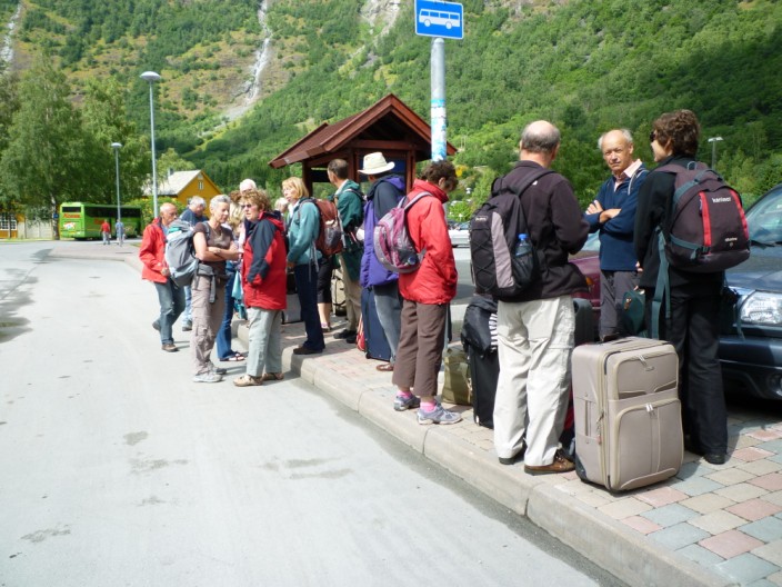
After spending some time in Flåm we caught the bus to Lærdal, where we were to spend the next three nights. The Old Lærdalsøyri village has 161 protected buildings. Some of the houses there date back to the mid-18th century. Lærdal has long traditions in farming, with the lower region of the valley being great for vegetable crops. Because of its dry climate it was one of the first places in Norway to begin the use of artificial irrigation. Despite having an inland climate, the water in the fjord keeps the winters from getting too cold. The Lærdalstunnelen was built through the mountains dividing Aurland from Lærdal. The tunnel is the worlds longest (as of 2008) at 24.5 km (15.2 miles). Construction began in 1995 and was completed in 2000. After booking into the hotel I found a walk that took me up on the hillside overlooking Lærdal from the opposite side of the river, and back along the valley.
Scroll down to see photos of the walk
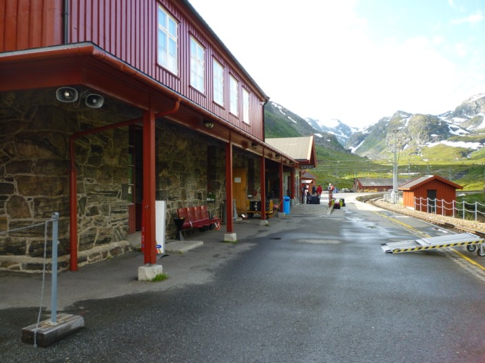
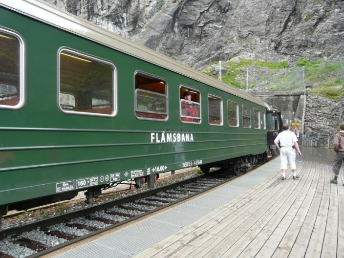
Myrdal Station is the upper terminal of the Flåmsbana and has no road access
It is 2,844 feet above sea level . . .
with trains to and from Bergen and Oslo
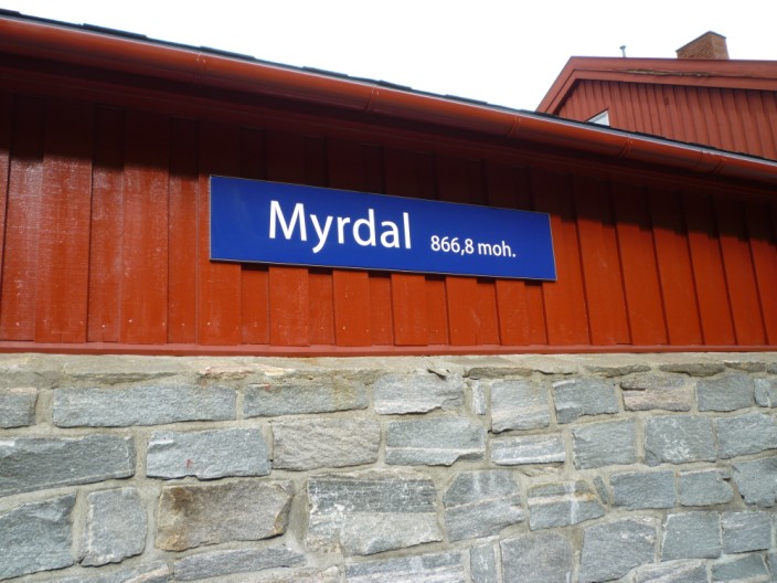
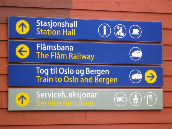
The outside provides appropriate information . . .
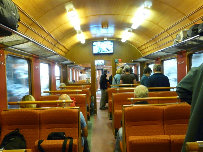
while inside the comfortable seats are little used as we check out the scenery
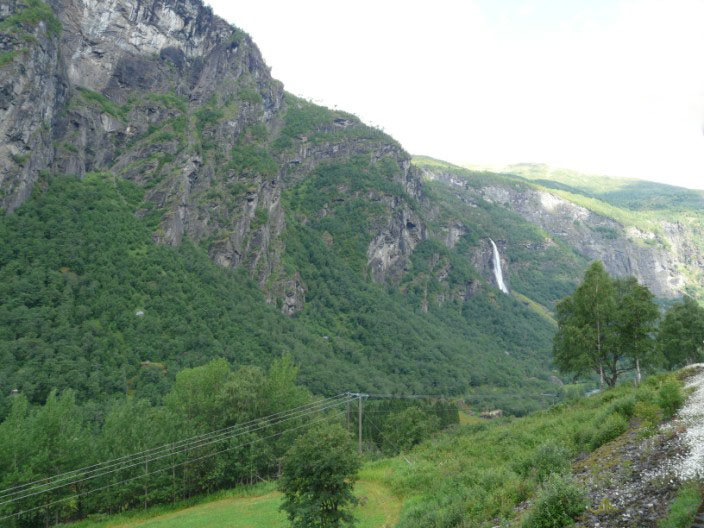
A short distance out of Myrdal we stop at . . .
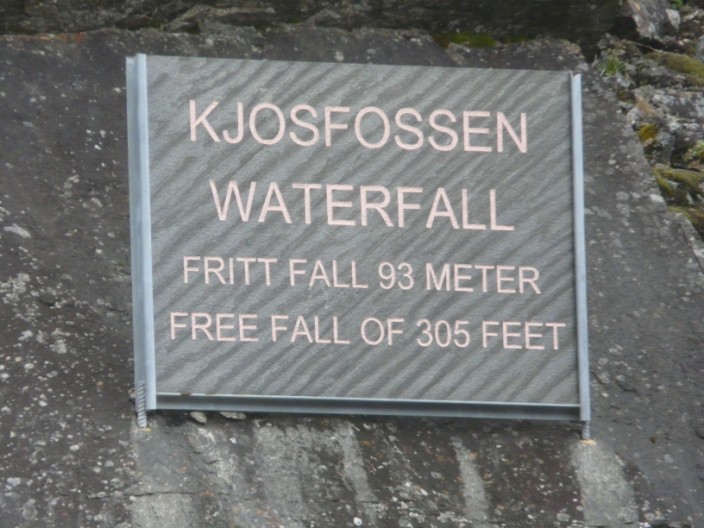
the Kjosfossen Waterfall . . .
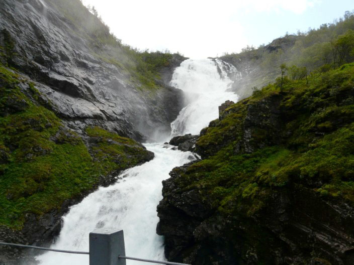
a spectacular sight . . .
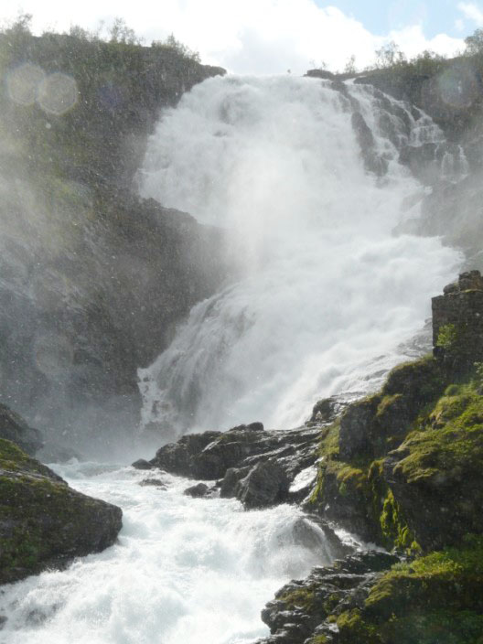
which is hard to describe
As music starts a figure appears . . .
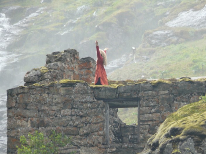
which turns out to be a 'Huldra' (as described above)
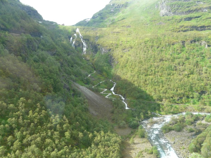
A road zig-zags beside another waterfall and a train tunnel structure can just be seen top left
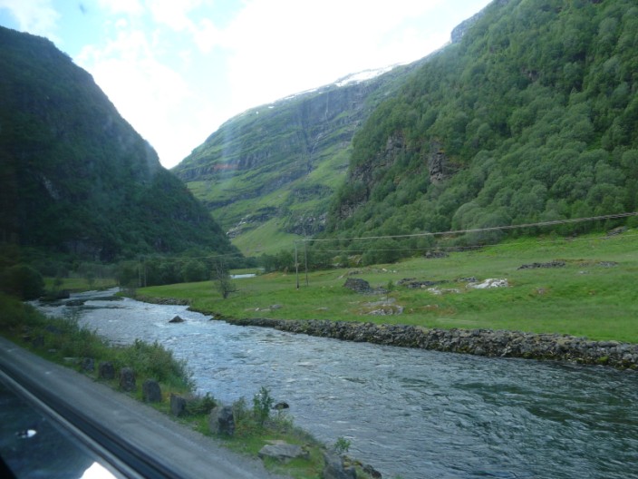
The scene is constantly changing:
a river cuts its way through the rock . . .
houses sit in a clearing . . .
a road wends its way through a valley . . .
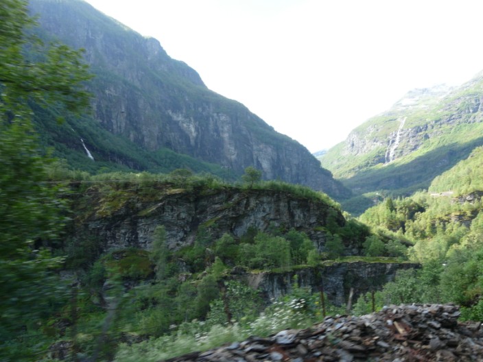
sheer rock faces add drama . . .
bubbling waters disappear into the trees . . .
power lines show signs of civilisation . . .
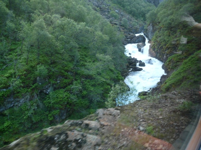
freefalling water crashes to the rocks below . . .
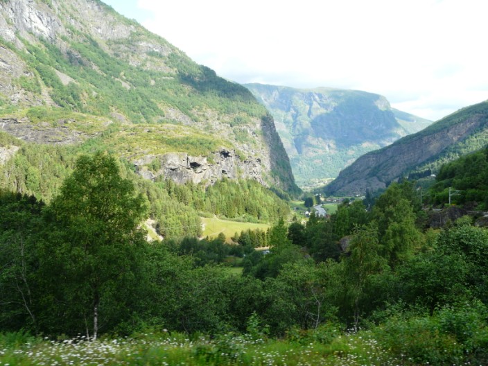
valleys curve and twist through the mountains . . .
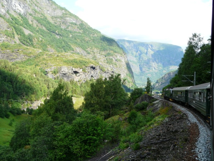
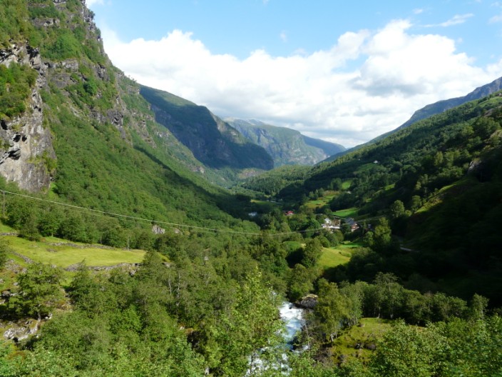
giving the opportunity to see the front of the train . . .
as it looks like we are approaching . . .
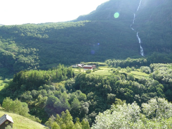
more houses . . .
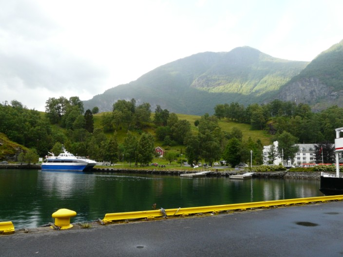
and the end of the line at Flåm where you can catch a boat on the fjord . . .
or stay at the hotel . . .
or take the bus
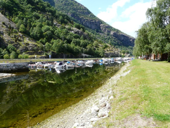
Exploring Lærdal, the marina shelters boats at the edge of the fjord . . .
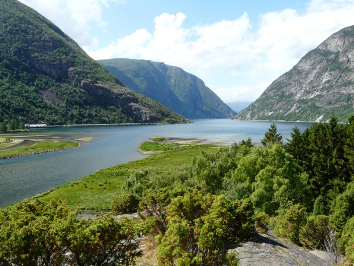
which is better seen from the start of the climb
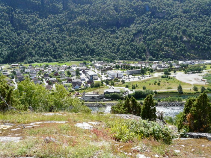
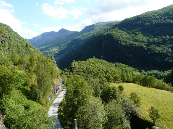
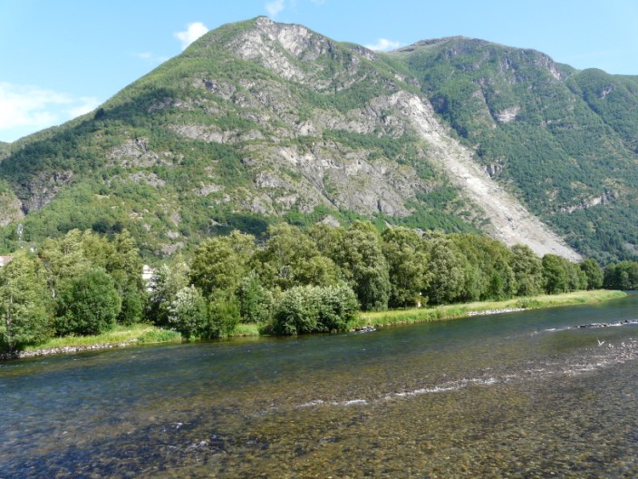
The route gives a good view of main centre . . .
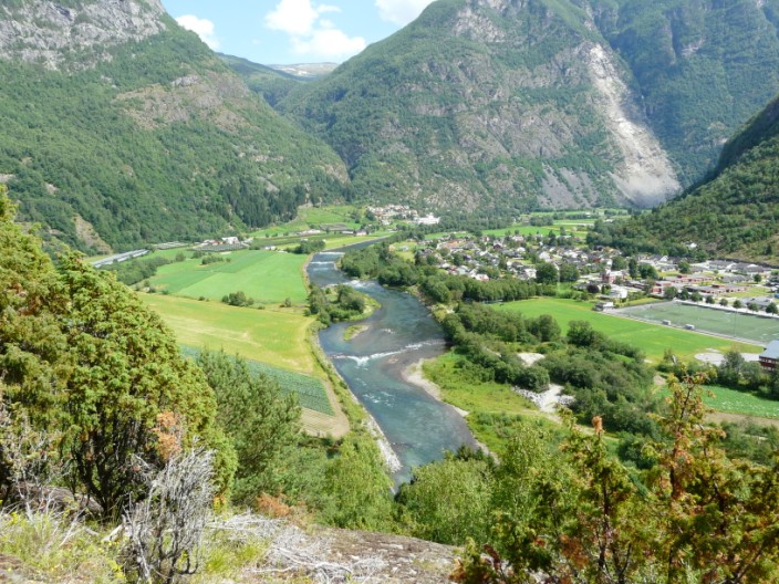
and the top end of the valley (including the route we would take the next day)
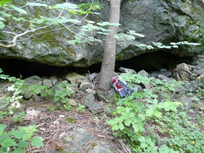
Spotting a potential cave . . .
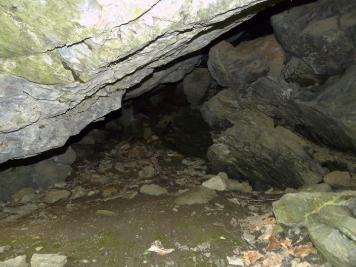
I can't resist checking it out - but not much room here
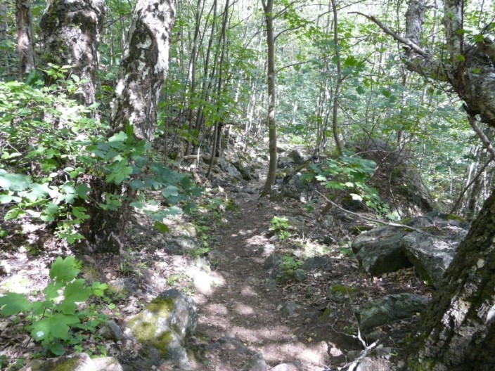
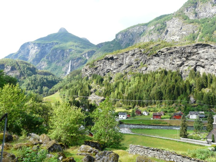
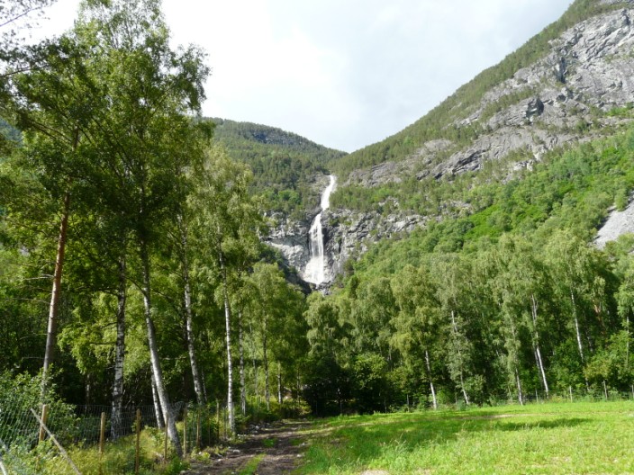
The dappled shade . . .
makes for very pleasant walking
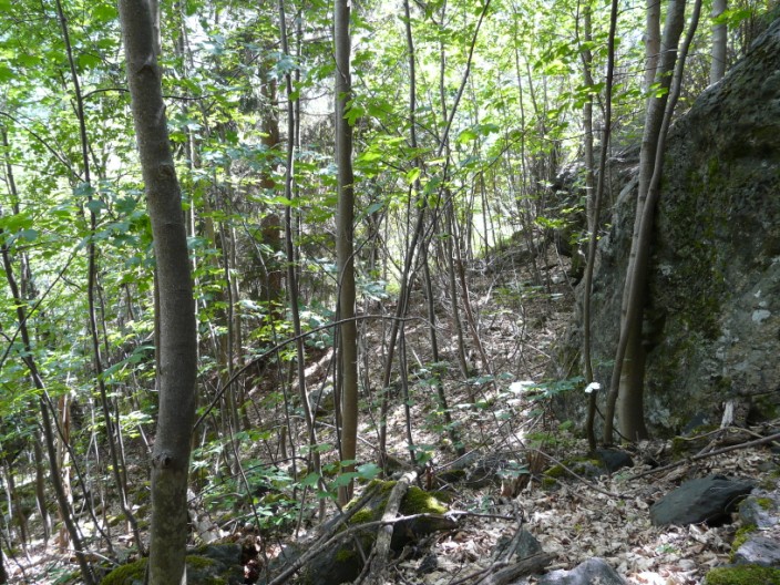
A path starts to lead alongside the waterfall . . .
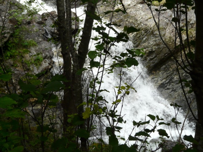
but before long it is a scramble through undergrowth . . .
and over rocks, until I can get no further
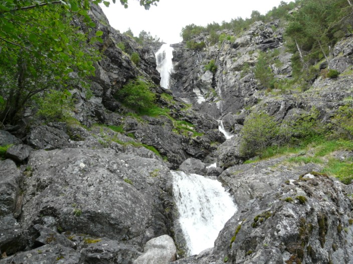
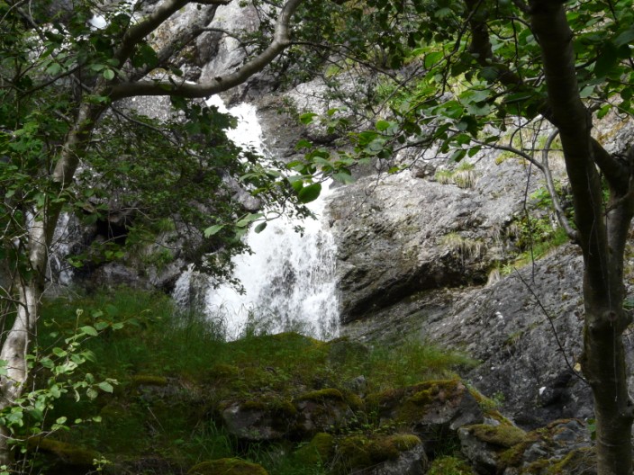
After heading back down the waterfall is better seen from a distance . . .
and the further away you get . . .
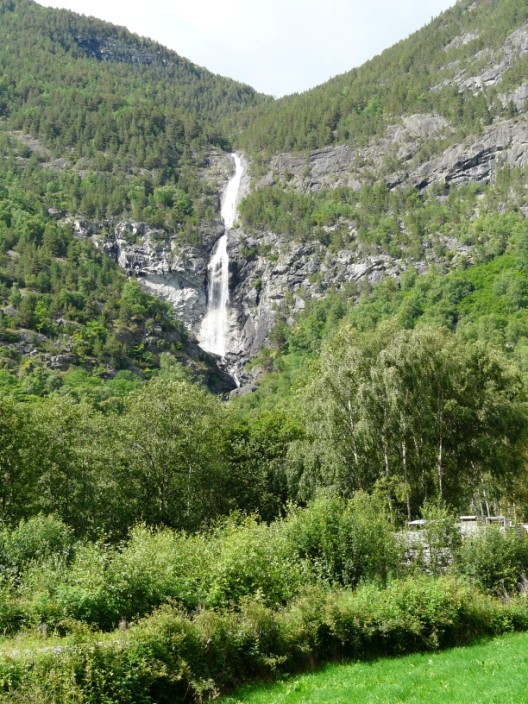
the better the view
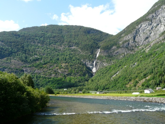
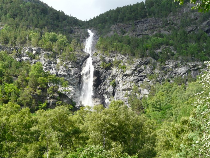
It is best seen from the bridge over the river . . .
which also gives good views . . .
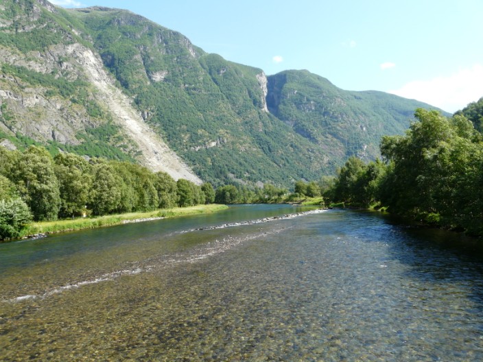
in the opposite direction
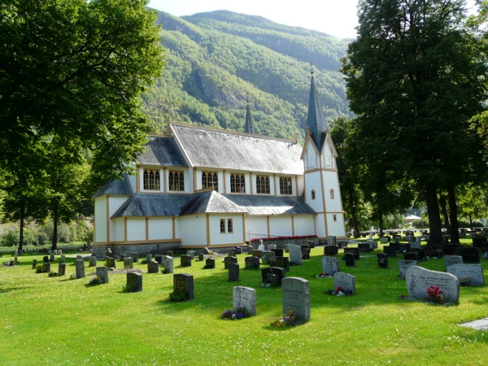
On the way back, an interesting looking church - but no time to stop today