Tuesday, 5th July 2011
| Walk: |
Neustift, Elferlift, Elferhütte, Elferspitze, Elferhütte, Panoramaweg, Zwölfernieder col, Autenalm, Elferlift, Neustift |
||
| Start Point: | Neustift | Distance: | 9 miles |
| Ascent: |
3,690 feet |
Descent: |
3,690 feet |
| Maximum Altitude: | 8,220 | Time: |
7 hours |
| Weather: |
Overcast but warm |
||
| Comments: |
Arriving at the top of the lift we were able to watch paragliders taking off before setting out on our route. We started climbing straight away, initially on a good path which eventually changed to loose limestone scree. Early in the walk we had a great view of someone standing next to the cross on Elferspitze – our target. Was this encouragement or did it set trepidation in our hearts!! Eventually we reached the base of the final section, a scramble and the chimney. We had lots of time to analyse the route as the group in front of us seemed to have great difficulty navigating this section even though they were clipped on to the fixed cables. Eventually it was our turn and Al did a great job in guiding us up the chimney (and down again!). The return along the same path almost as far as the hut was rather tedious but the alternative of a Klettersteig route (Via Ferrata) wasn't an option! A pleasant grassy bank on the panoramaweg provided the perfect spot for our lunch stop and gave us time to take in the great views into the Pinistal Valley. A short zig-zag path took us up to the col then we descended on a steep rocky path and through a pleasant tree section to arrive at the Autenalm, a 350 year old hut. Following refreshments we took a gradually ascending path back to the Elferlift and down to Neustift. |
||
Scroll down to see photos of the walk
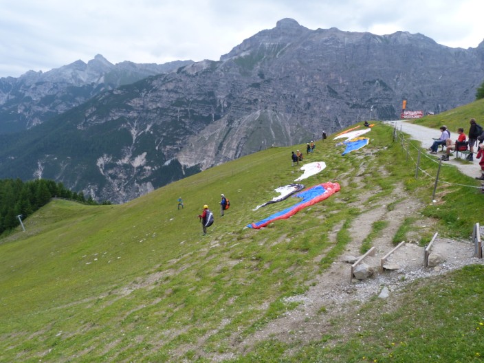
Ready, set, .... not yet! It took quite some time before each person was given the signal to take off . . .
then get up some speed . . .
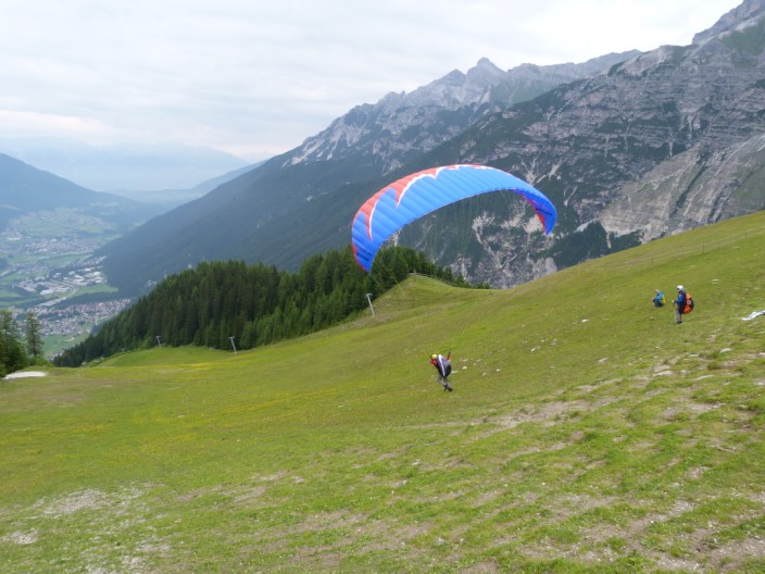
take off before you get to the trees . . .
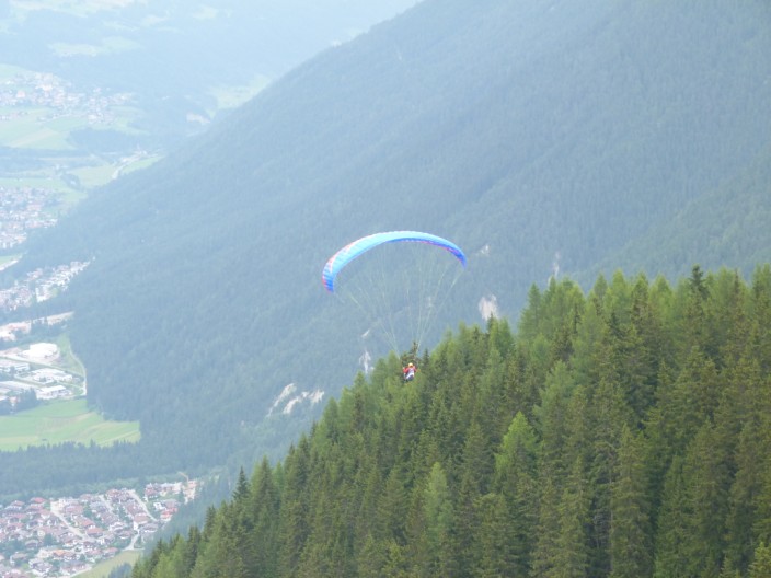
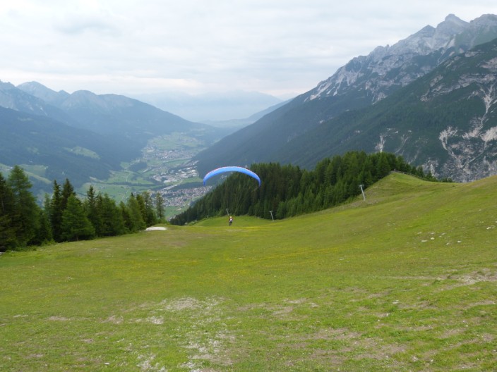
and soar like a bird . . .
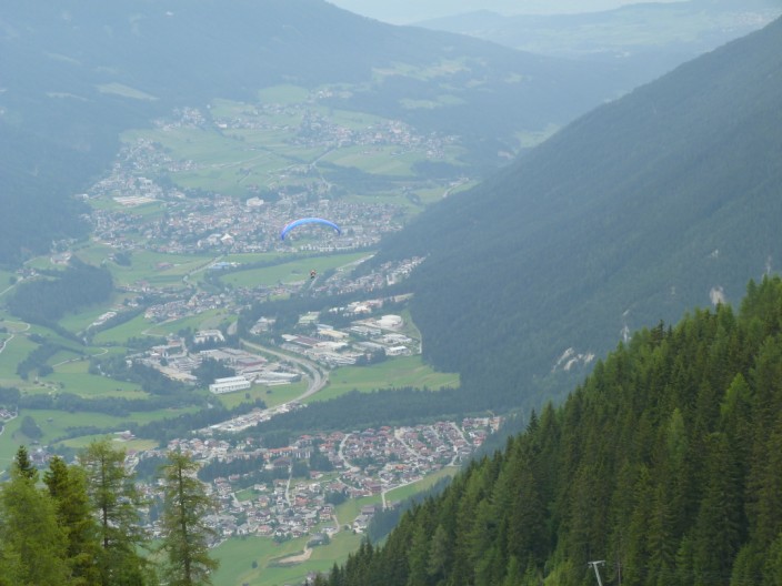
above the valley
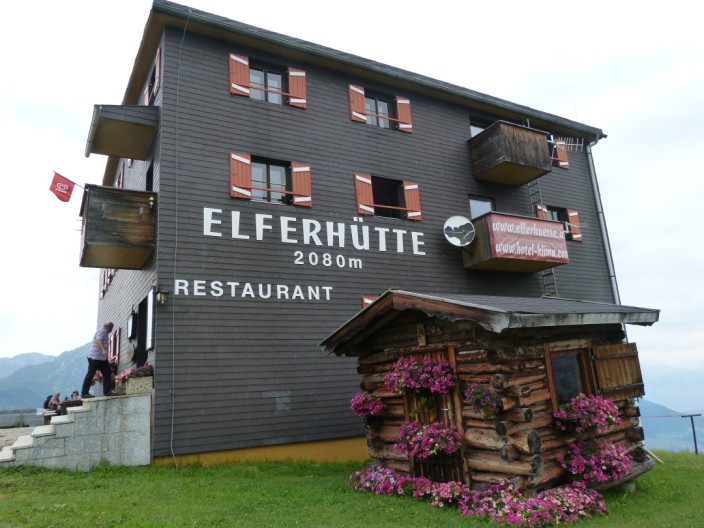
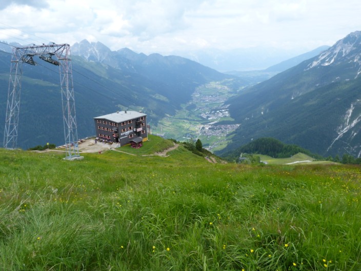
We'll keep our feet on the ground to climb to the Elferhütte - where we think the numbers are in the wrong order - should it be 2008m?
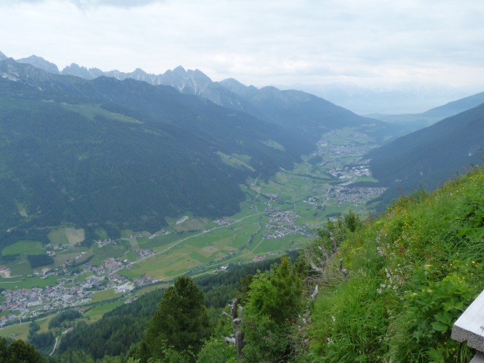
The Stubai valley from the hut . . .
and Alexandria has a quick drink before we continue . . .
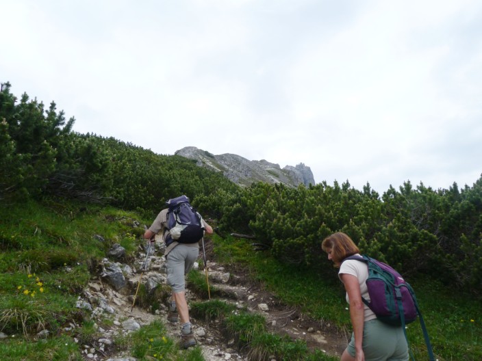
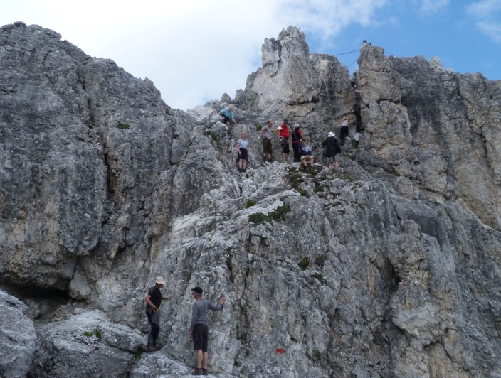
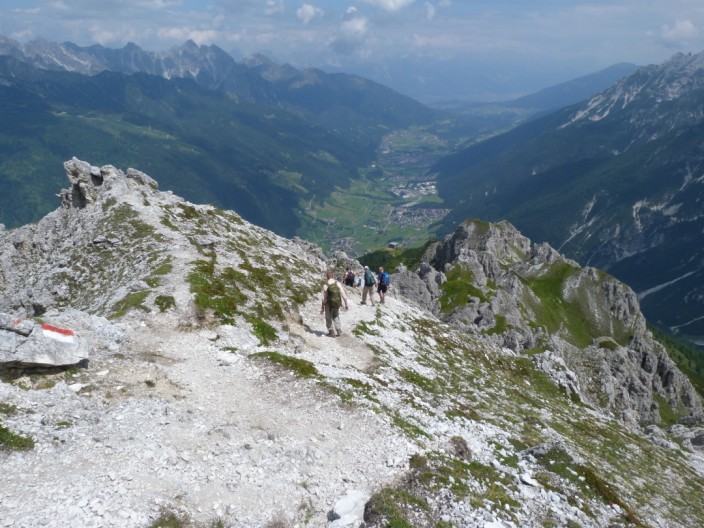
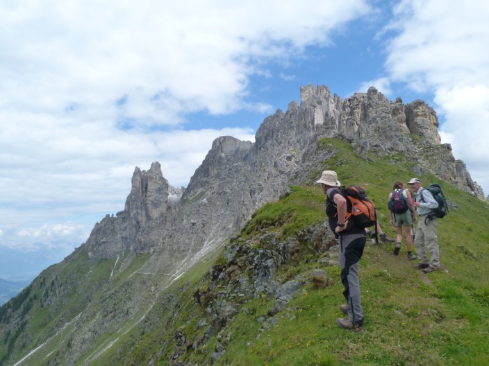
climbing upwards (well, it's either UP or DOWN, never on the flat!)
Looking back down to the path - a bit rocky here
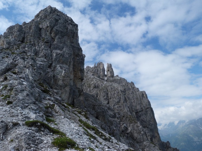
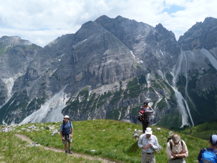
Our target comes into view - on the right . . .
zooming in on the cross
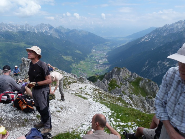
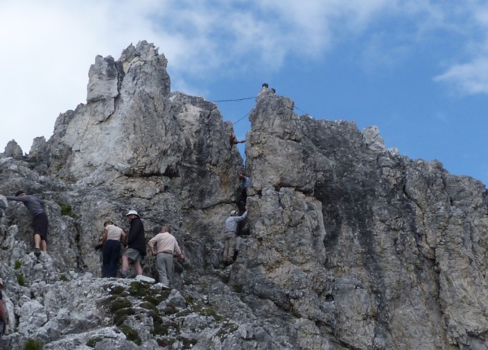
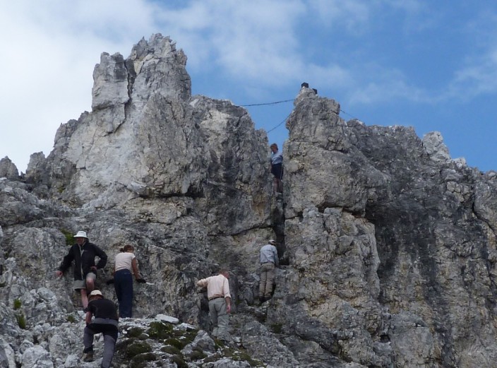
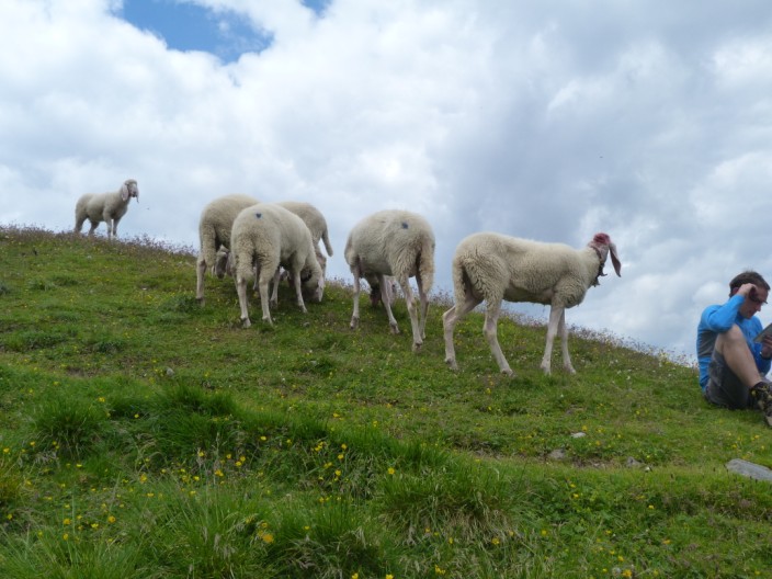
Time for a break . . .
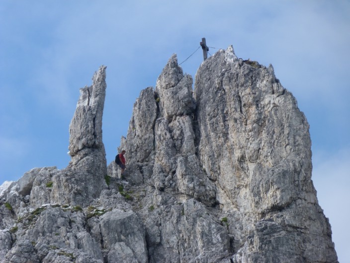
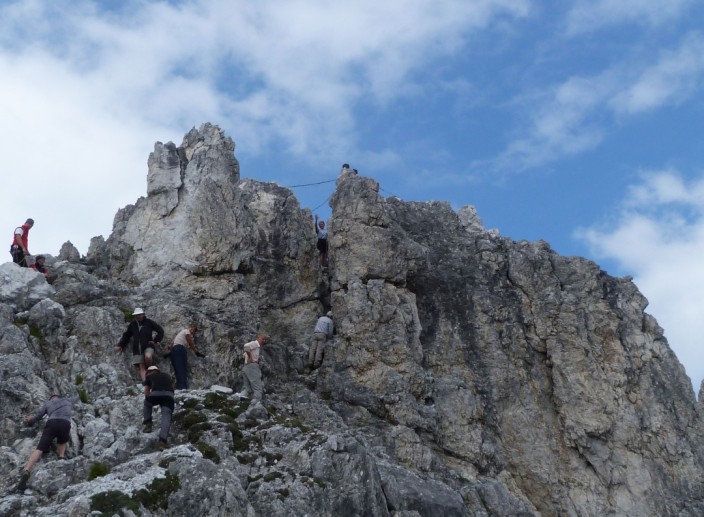
and we spot someone about to climb the chimney . . .
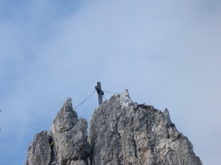
and up to the cross . . .
where he takes in the views

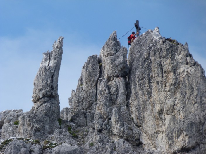
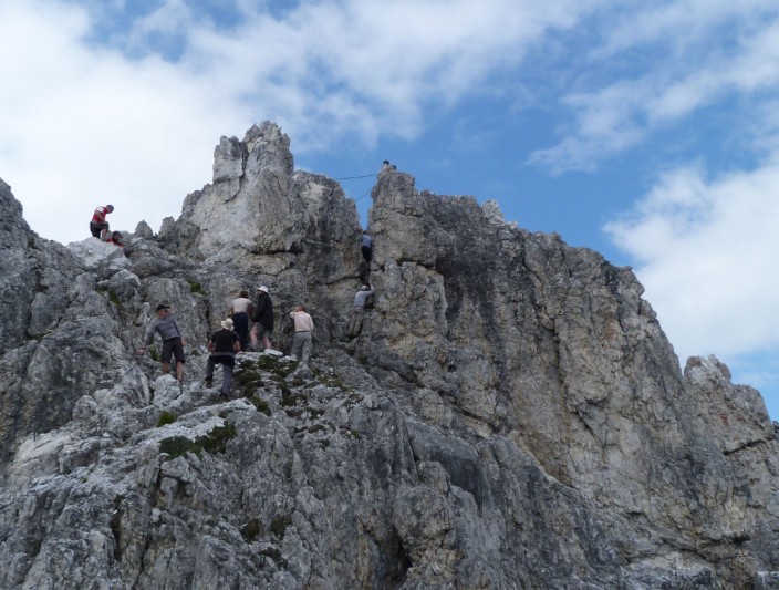
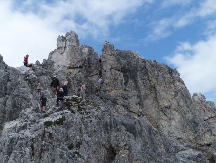
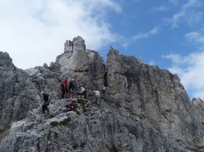
After another rocky ascent we are almost at the summit . . .
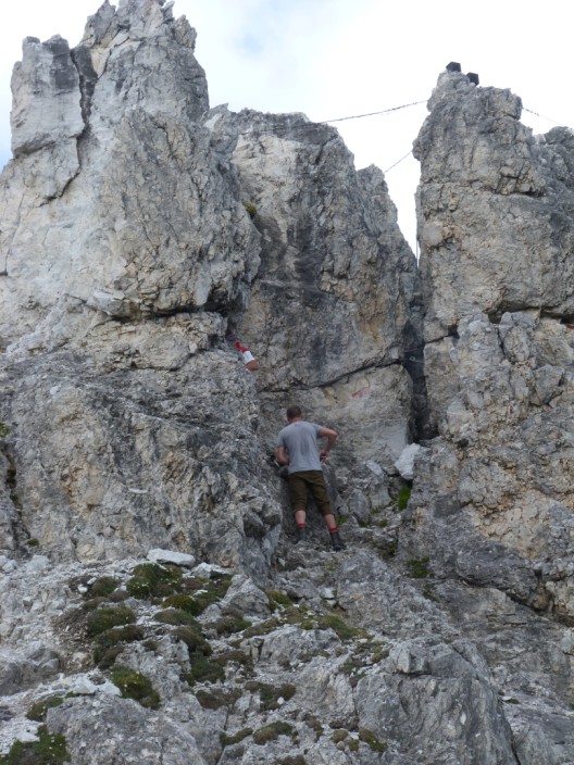
and Trevor kindly takes photos as I begin the climb - with Al looking down the chimney to guide me
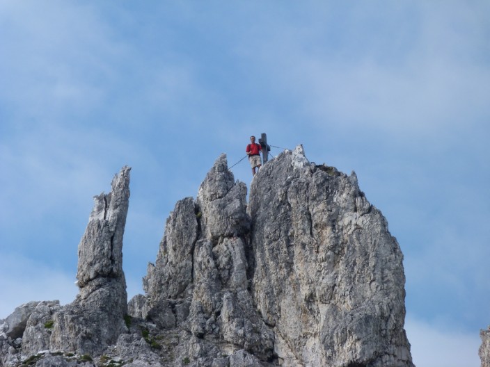
Halfway up the chimney . . .
and just about as far as I can go . . .
so I give Trevor a wave . . .
before beginning the descent . . .
and Alexandria starts her descent . . .
then we both emerge around the rocky pinnacle
A last look at an empty chimney
Time to make our way back along the path . . .
almost as far as the hut
Walking along the panoramaweg we take a break for lunch
The it's on to the col . . .
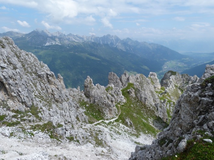
from where we get a good view up to the summit - the direct route is a Klettersteig route which needs harnesses, etc.
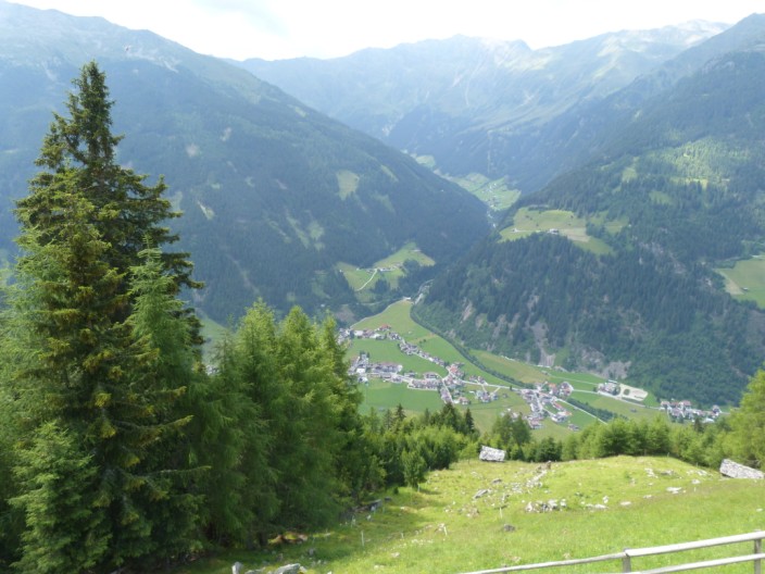
The valley from . . .
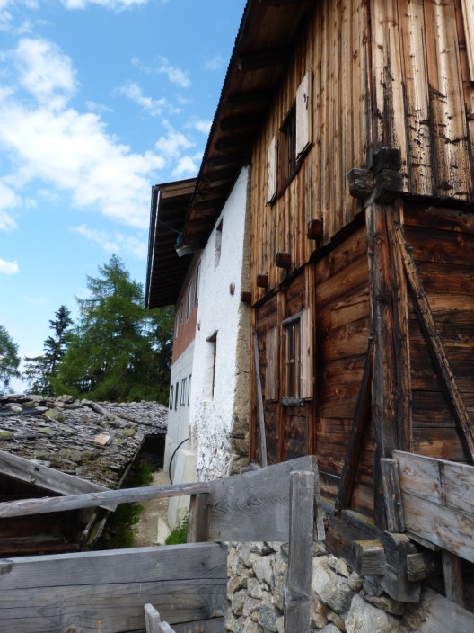
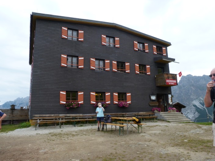
the Autenalm . . .
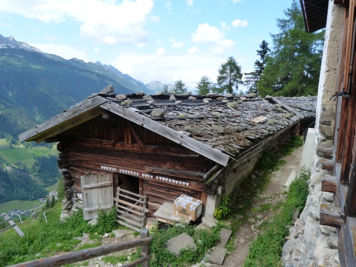
a 350 year old hut!