Sunday, 3rd July 2011
| Walk: | Grawa Alm, Sulzenau Alm, Sulzenauhütte, Niederl Col, Nürnberger Hütte, Bsuchalm, Spitz | ||
| Start Point: | Bus stop near Grawa Alm | Distance: |
9.5 miles |
| Ascent: | 3,700 feet | Descent: | 4,600 feet |
| Maximum Altitude: | 8,600 feet (approximately) | Time: | 7 hours |
| Weather: | Cloudy but mild with good views | ||
| Comments: |
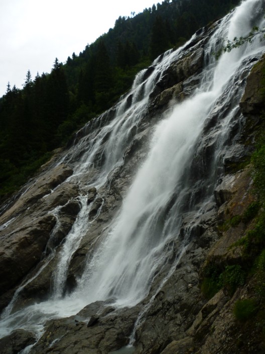
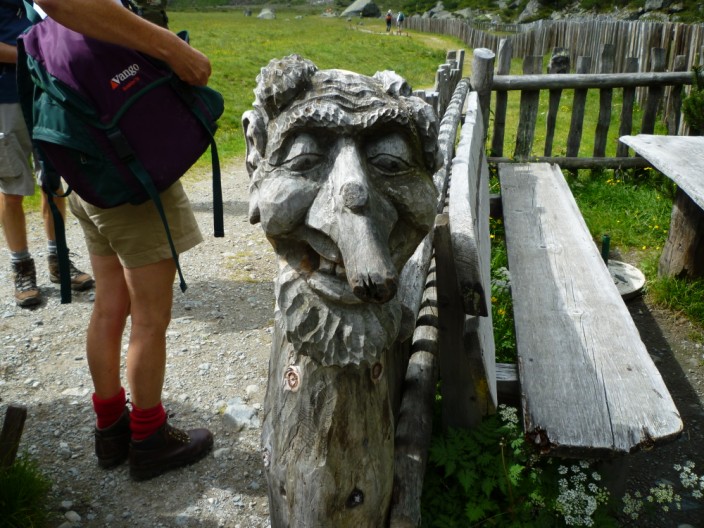
We caught the bus to the starting point near Grawa Alm, a scenic drive along the valley from Fulpmes. Unusually our path headed downhill, but this enabled us to take a delightful woodland path that made its way up alongside the Sulzenaubach with its impressive waterfall. Emerging into a hanging valley the views were magnificent, surrounded by rock walls, ridges and summits. Though we weren’t stopping at the first hut it was worth taking time to photograph the carvings on the backs of the seats. Heading for another waterfall we found a pleasant zig-zag path that took us up to the Sulzenauhütte and a break for refreshments. From here we could see the Nierdel Col with its steep sides. However, after following an undulating path for a time we found that the steep cable assisted scramble to the top was quite easy. After taking in the excellent views into both valleys and across to the glacier we followed a short exposed narrow path before descending to the Nürnberger Hütte. Unfortunately the party we were expecting here had happened the previous day! Following an often rocky zig-zag path we made our way down into the valley then followed a service road down to the bus stop. What timing – only a few minutes to wait for the bus. |
||
Scroll down to see photos of the walk
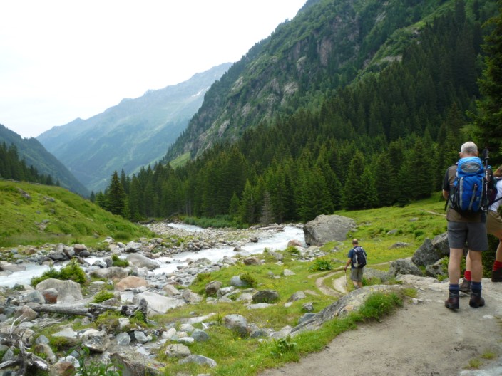
Initially heading downwards . . .
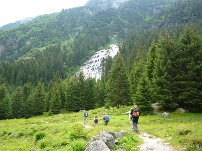
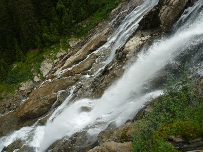
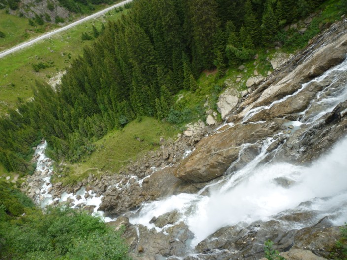
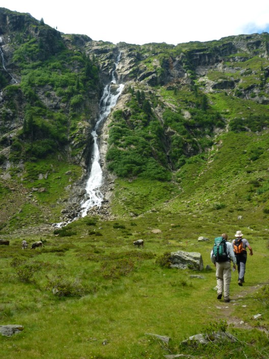
the waterfall soon comes into view . . .
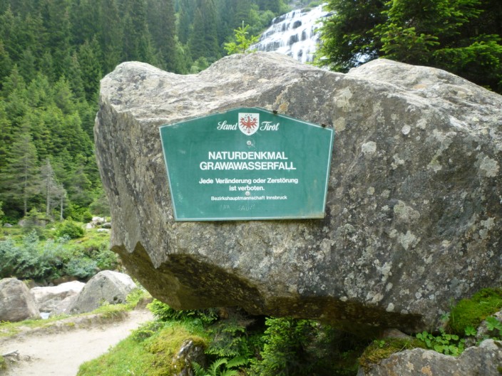
with its own information board
Climbing near the waterfall . . .
there are lots of opportunities . . .
to take photos . . .
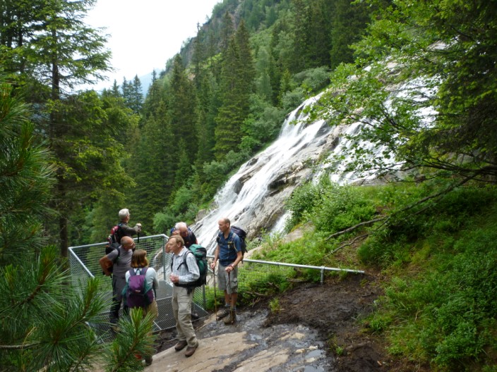
and the group tries out a viewing platform
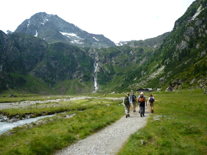
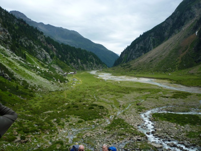
Walking along the hanging valley . . .
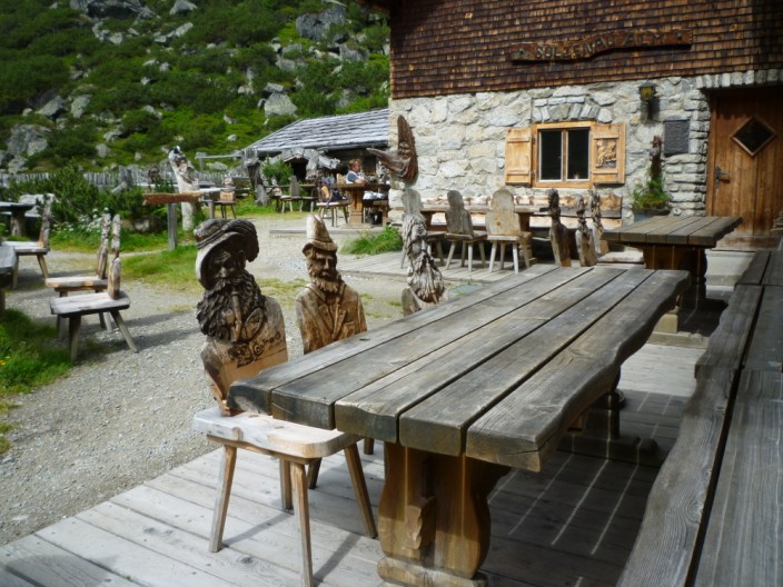
we soon arrive at the Sulzenau Alm . . .
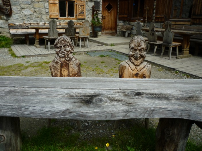
with its unusual crop of . . .
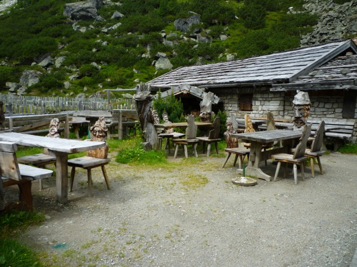
customers . . .
and even one that makes sure the gate is closed
Then it's on to the next waterfall . . .
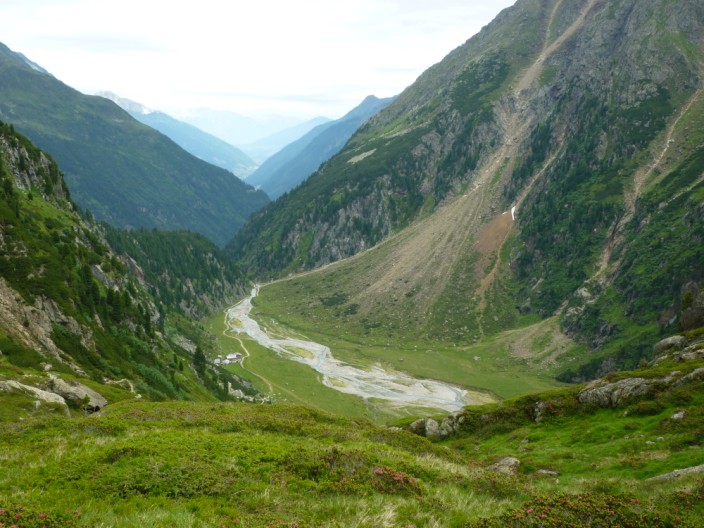
and a pause on the climb gives time to look back down the valley . . .
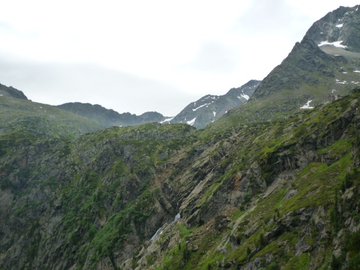
and across to our target - the col just visible on the left
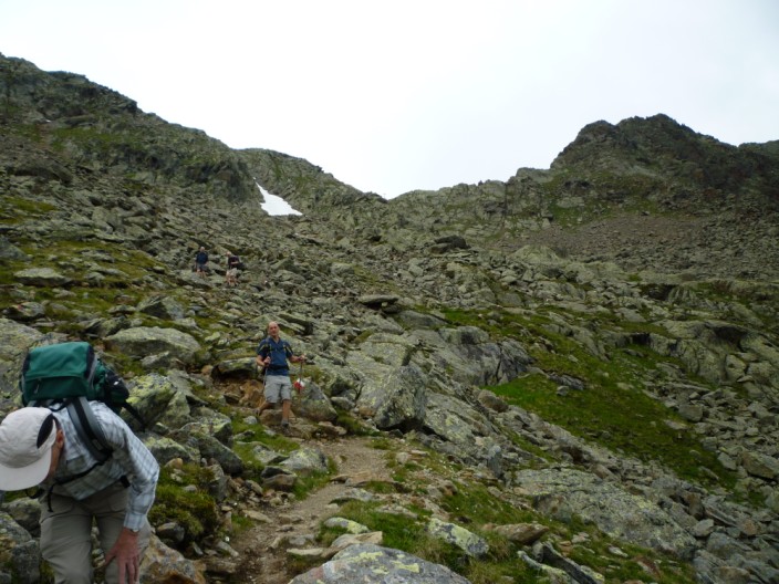
Reaching the top of the climb . . .
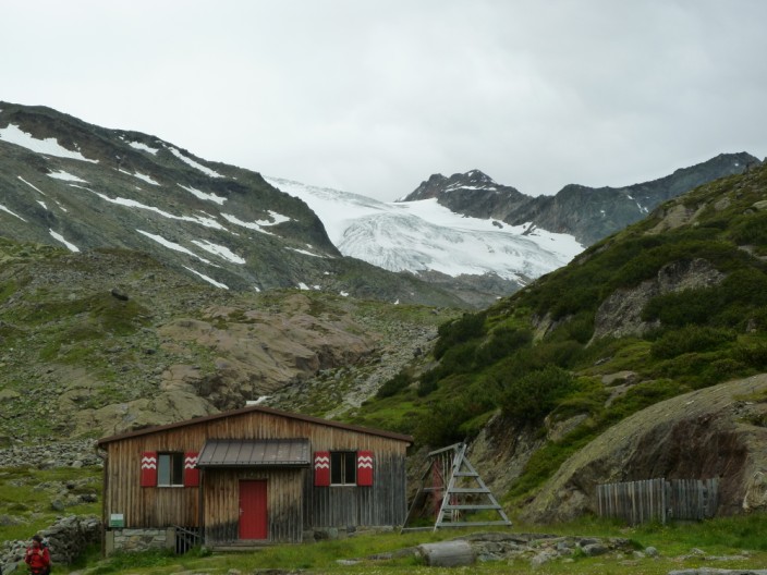
we have a stop at the Sulzenauhütte . . .
before continuing on our way
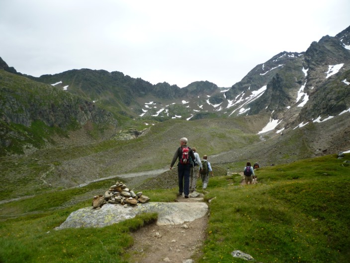
The col is just making an appearance on the left
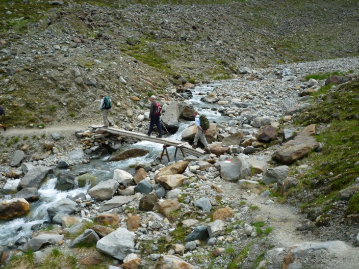
Interesting bridge construction!
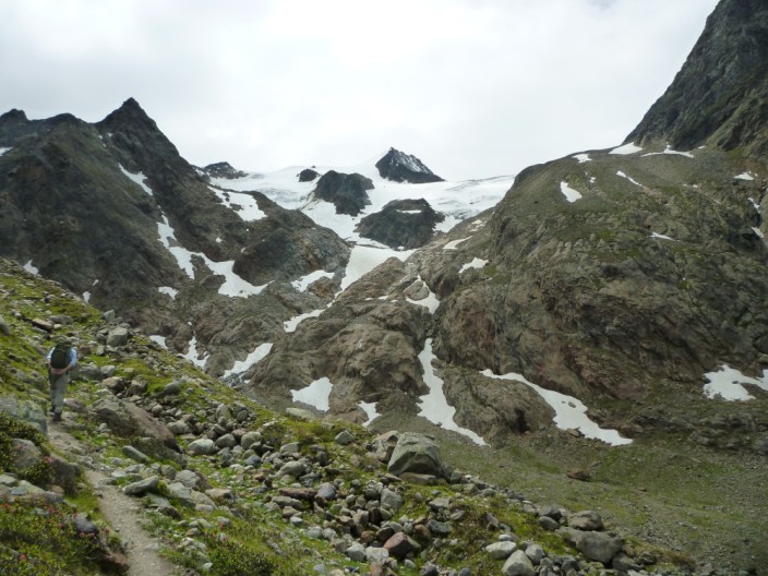
Thankfully our route doesn't head to the glacier
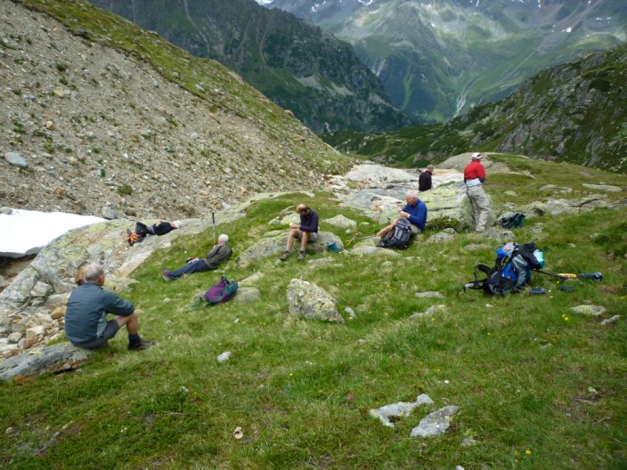
Lunch stop by the stream but little did we know . . .
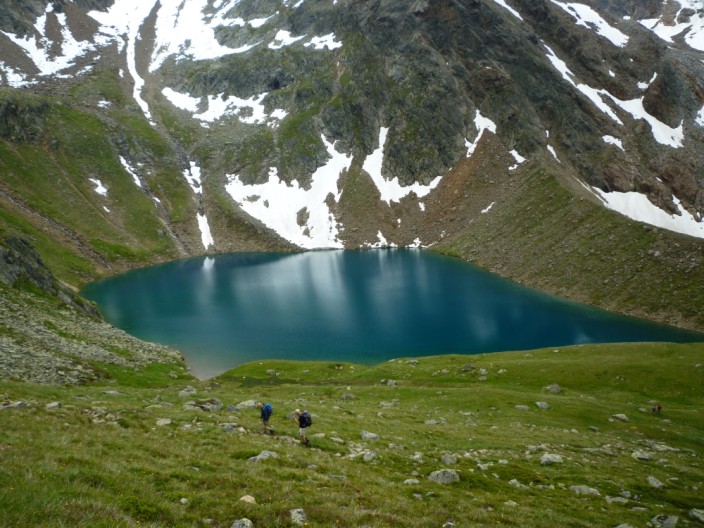
that there was a lake just around the corner
The col is in full view now . . .
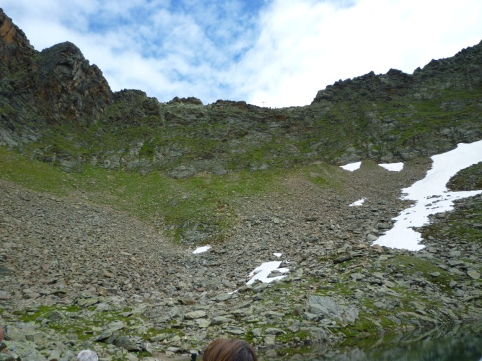
and from higher up we can make out the cross
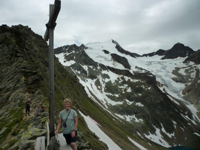
One for the album
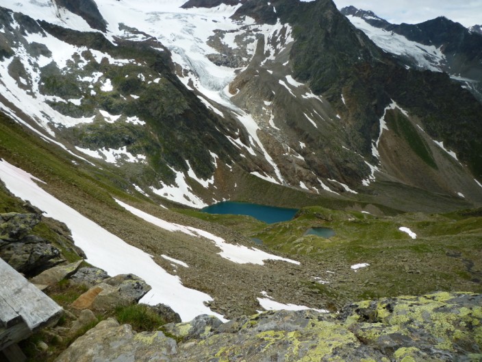
Looking back down to the lake . . .
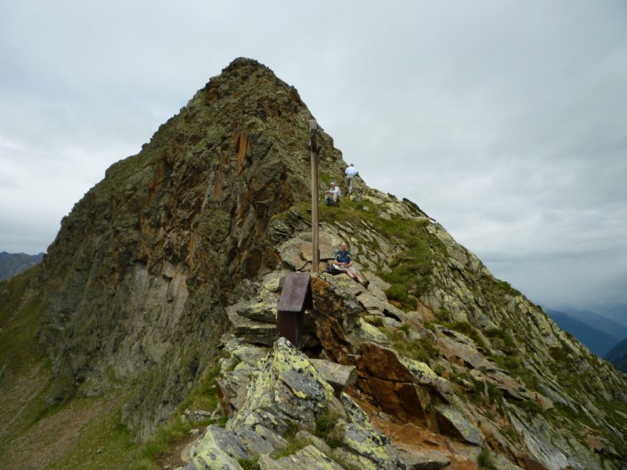
higher up the ridge . . .
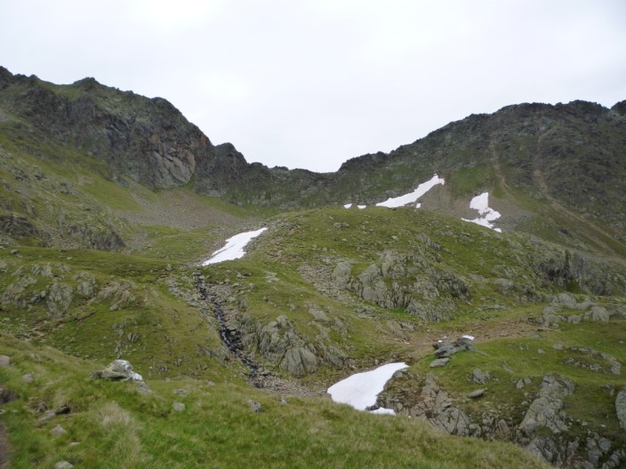
and descending down the other side
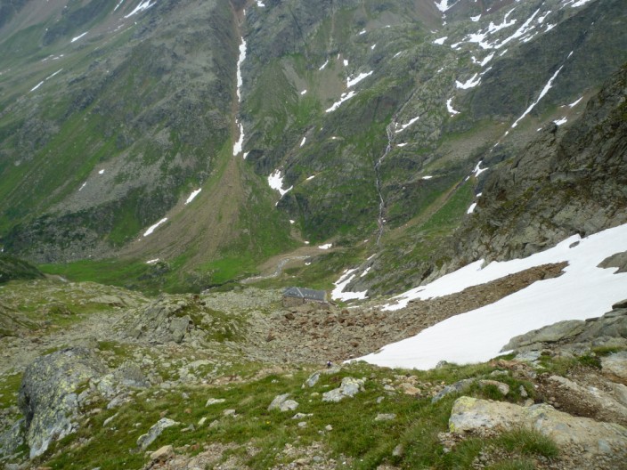
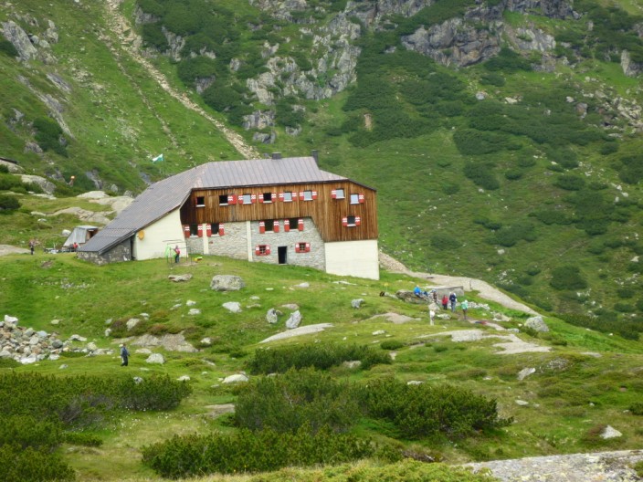
The Nürnberger Hütte comes into view . . .
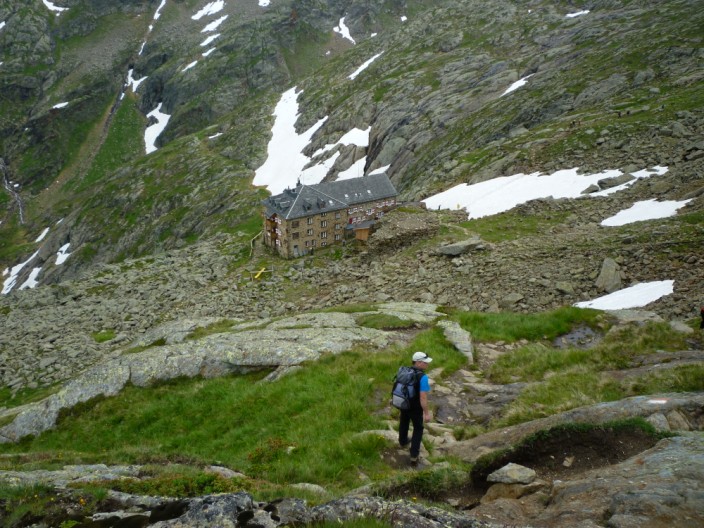
but it looks like we missed the party!