Saturday, 2nd July 2011
| Walk: | Mutterer-Alm-Bahn, Mutterer Alm, Pfriemeswand, Nockspitz (Saile), Halsl, Halslbach, Plöven, Fulpmes | ||
| Start Point: | Mutters | Distance: | 7 miles |
| Ascent: | 2,700 feet | Descent: | 4,840 feet |
| Maximum Altitude: | 7,890 feet | Time: | 5.5 hours |
| Weather: | Mainly cloudy with a cool breeze. Thunder and lightning when we were just coming off the summit, accompanied by a heavy hail shower. | ||
| Comments: |
We took the tram to Mutters and caught the Mutterer-Alm-Bahn to Mutterer Alm. From here we headed out on the path to Nockspitz(Saile), our highest point of the day. The path was mainly a narrow track varying in steepness and exposure. The snow we had had the previous day was still evident all around the summit. After photos at the cross we descended a short way to stop for lunch. As we were eating we could see some weather heading our way and by the time we had got the waterproofs on the thunder storm had arrived. Descending quickly in the heavy hail storm flashes of lightning and loud thunder ensured that we didn’t lose any time making our way down. By the time we reached Halsl the weather had changed completely and it was time to take the waterproofs off. Continuing down Halslbach we arrived at Plöven and had a short walk into Fulpmes and back to the hotel. |
||
Scroll down to see photos of the walk
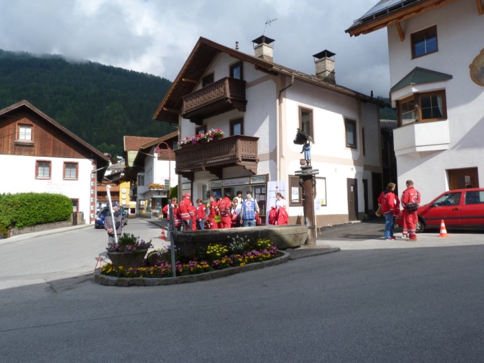
As part of local celebrations the Red Cross are creating various accident scenarios
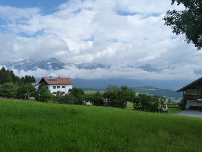
A rather cloudy outlook as we head up to the gondola station . . .
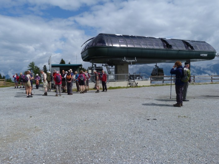
but the sun makes its presence known as we reach the top station
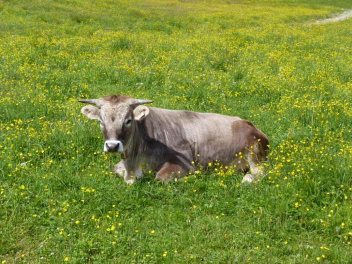
'Daisy' amongst the daisies
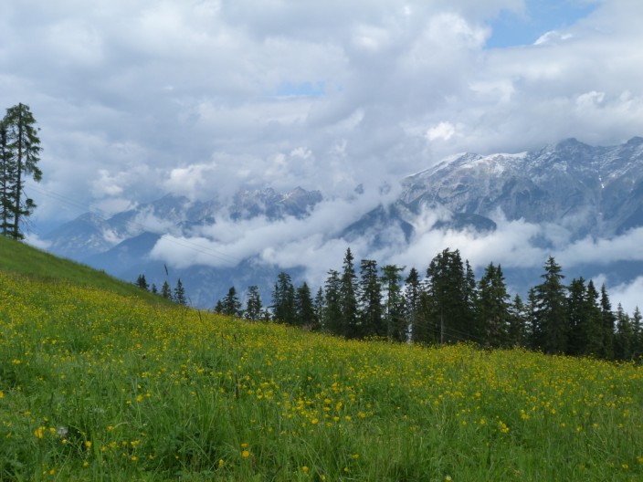
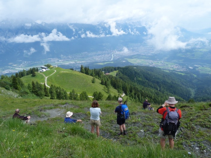
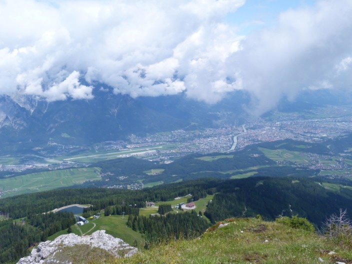
Looking across the Inn valley . . .
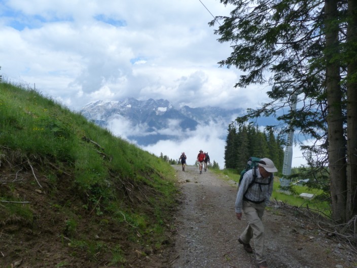
as we head upwards
with good views ahead . . .
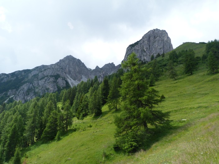
and spot a rocky section . . .
to stop for our morning break
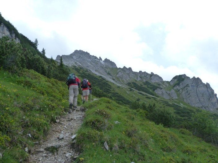
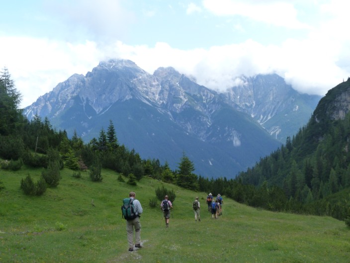
Then it's onwards and upwards . . .
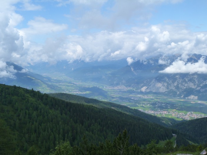
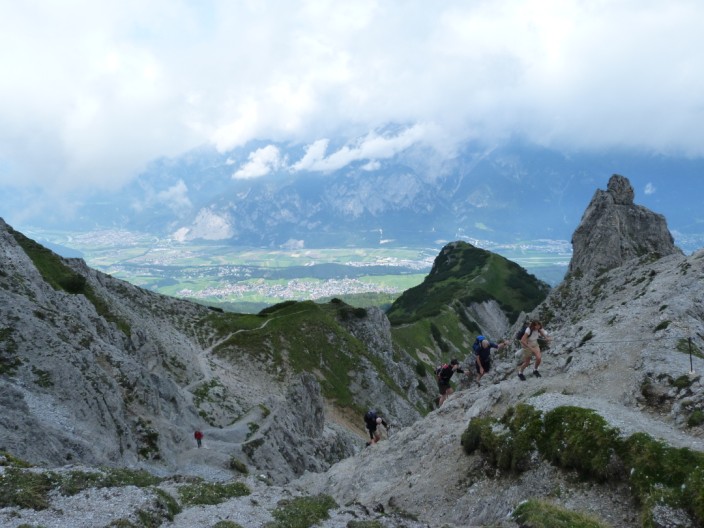
and more views over the Inn Valley
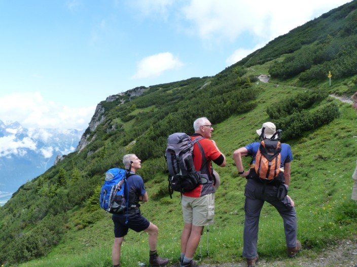
'Looks like we're still heading up guys'
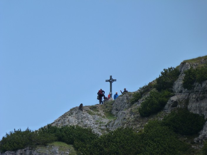
A short diversion takes us to . . .
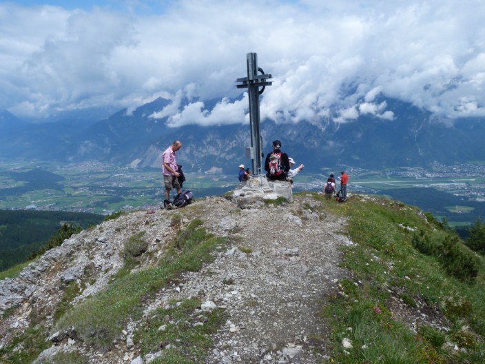
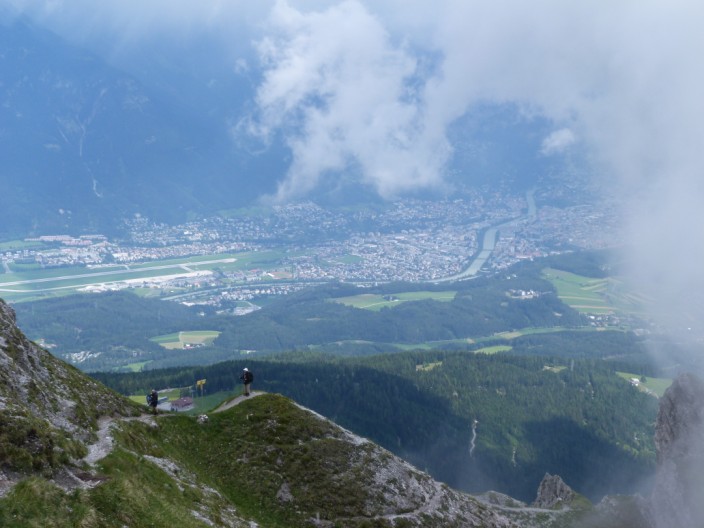
a cross with a great view . . .
to Innsbruck
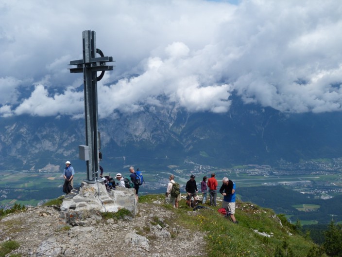
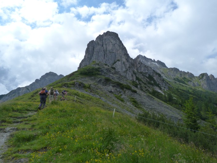
Time to collect the back packs and continue . . .
over a rocky section . . .
and take in more group views
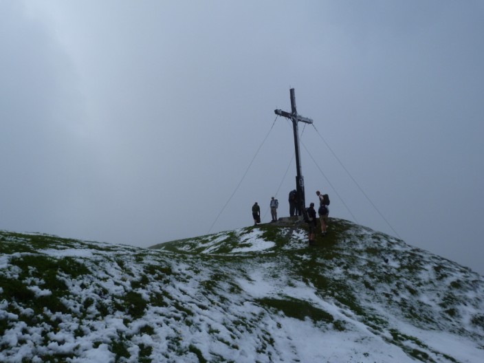
A bit snowy on the summit - and a gap in the photos due to thunder, lightning, hail and snow!
As the thunderstorm passes on . . .
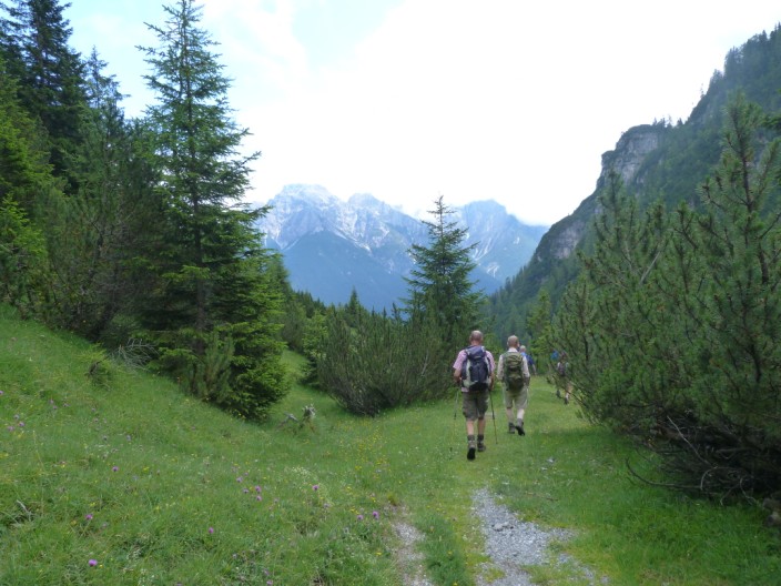
we make our way down to Halsl and on down the valley
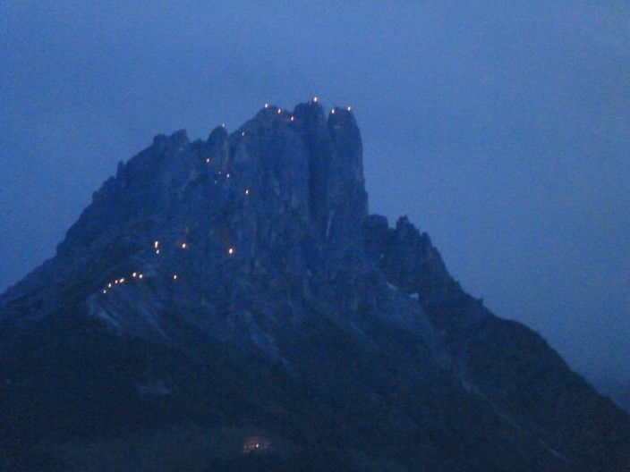
The celebrations continue in the evening with thousands of beacons . . .

lighting up the mountain sides
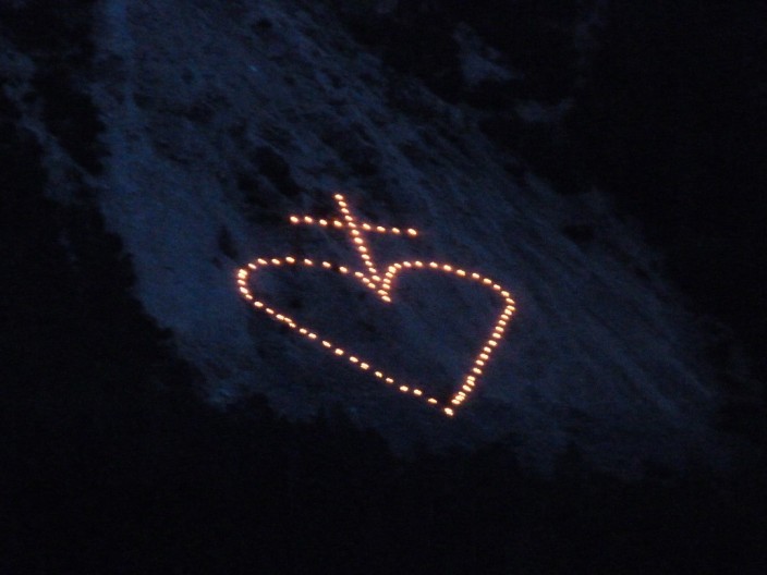
How do they do that!