Tuesday, 5th October 2010
Today was to be our first venture into the Grand Canyon, walking part of the way down the South Kaibab Trail. Unfortunately the weather didn't look too favourable but we were optimistic that it would improve and caught the shuttle bus from the Interchange to the trailhead. From here we walked down to Cedar Ridge, a large plateau with toilet facilities – for what they were. Parts of the path were very muddy and the surface was washed away – probably because of the rain the previous day and overnight. Despite the rain and drifting mist eight of us decided to continue on while the rest of the group returned with the leader. As we descended the weather improved, giving us some great views, and we quickly made our way past O'Neill Butte to Skeleton Point. Here we met a mule train on its way up the trail and were informed that it takes 3.5 hours for the mules to make the journey.
Skeleton Point is 3 miles from the trailhead and the continuing trail descends very steeply down a series of switchbacks. Consequently, it was considered wise to start on the return journey, a decision that was enforced by signs of the weather beginning to deteriorate. After a short wait at the trailhead we boarded the next shuttle to return to the Interchange and walked back to our rooms - a good day despite the weather.
The South Kaibab Trail is a hiking trail in Grand Canyon National Park, located in the U.S. state of Arizona. Unlike the Bright Angel Trail which also begins at the south rim of Grand Canyon and leads to the Colorado River, the South Kaibab Trail follows a ridge out to Skeleton Point allowing for 360-degree views of the canyon. The Bright Angel Trail has the advantage of offering a considerable amount of shade (depending on the time of day) of which the South Kaibab Trail offers virtually none.
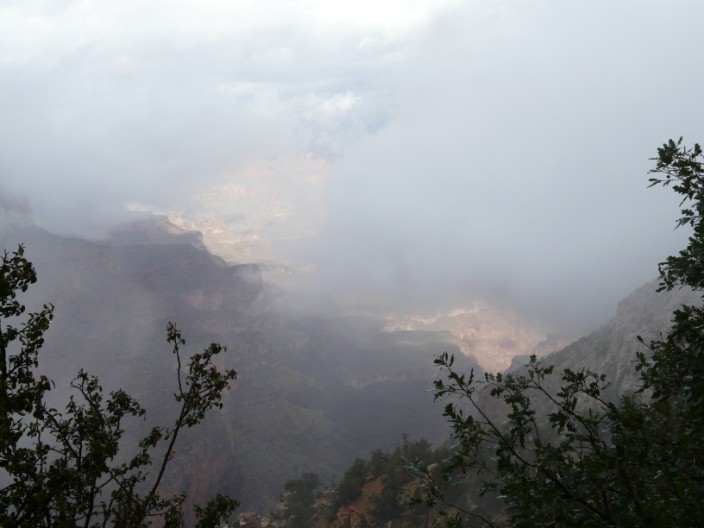
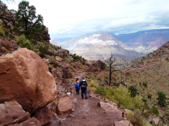
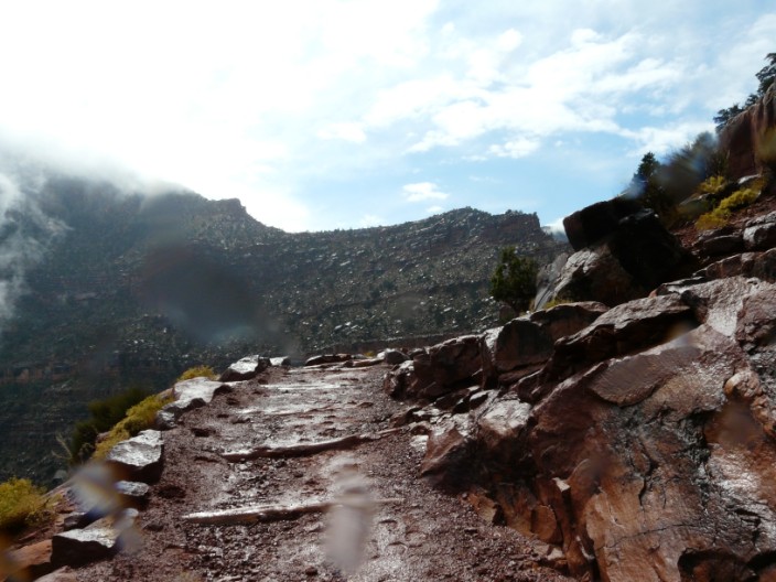
There are some breaks in the mist . . .
as we head down the South Kaibab Trail
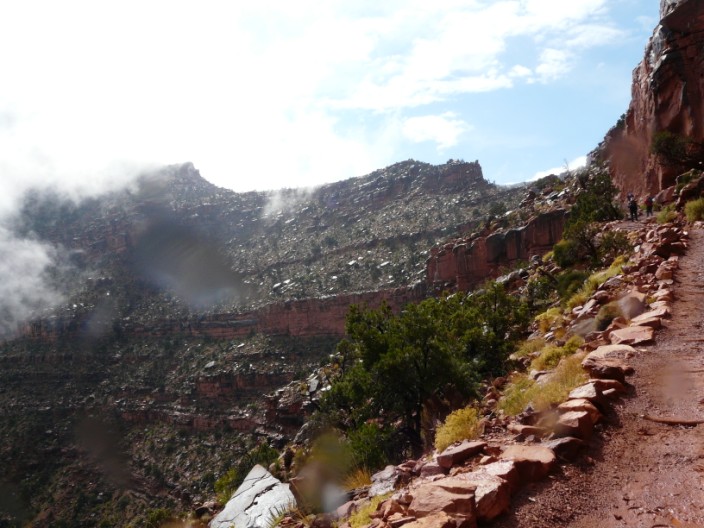
but one minute it is clearing . . .
and the next minute the mist has returned!
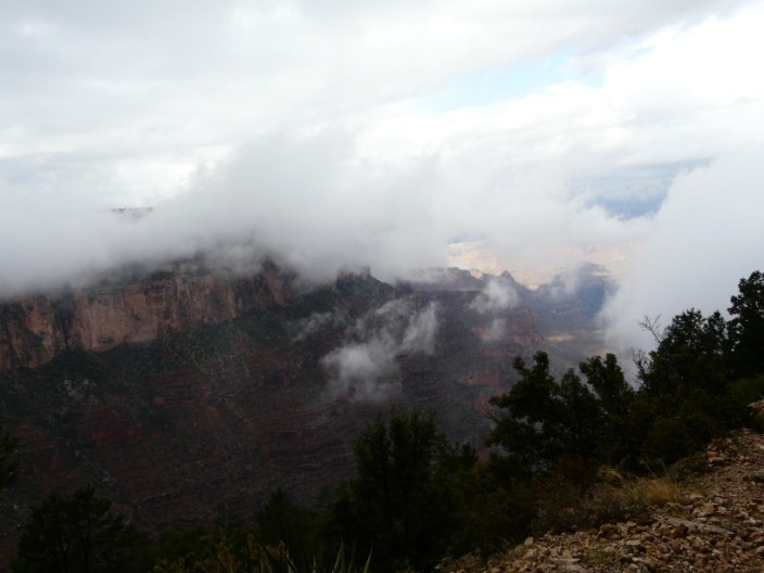
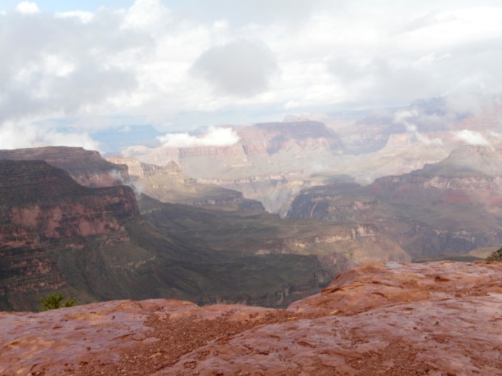
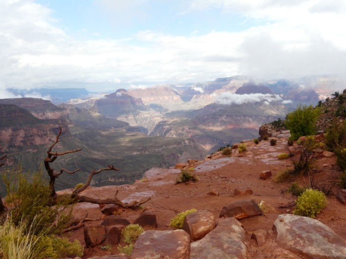
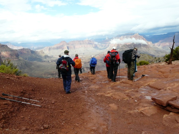
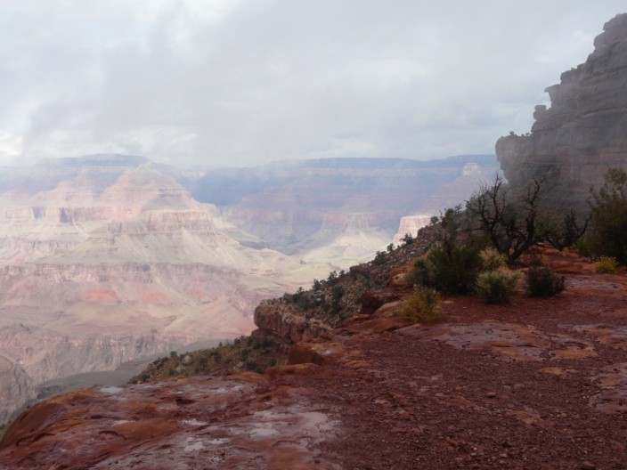
We are still hopeful . . .
that the lower we descend . . .
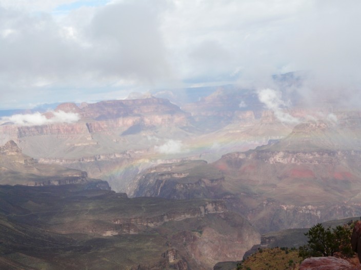
the better the views will be - look carefully to find the rainbow in the centre of the photo
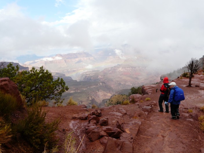
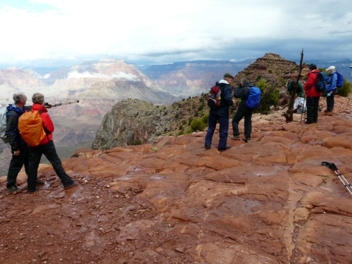
Nina and Geoff pause to take in the scene . . .
during a sunny break . . .
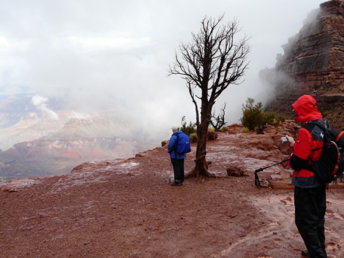
and our perseverance has been rewarded . . .
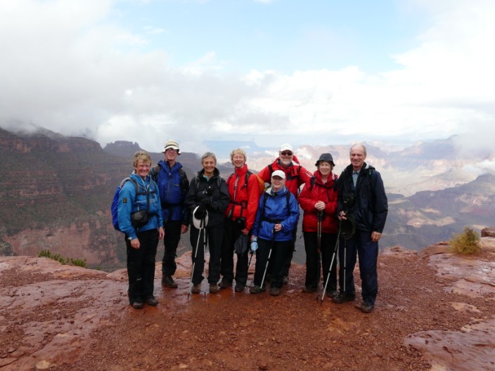
so passing walkers do the honours . . .
as we continue to enjoy the views . . .
and the sun continues to do battle
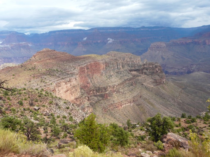
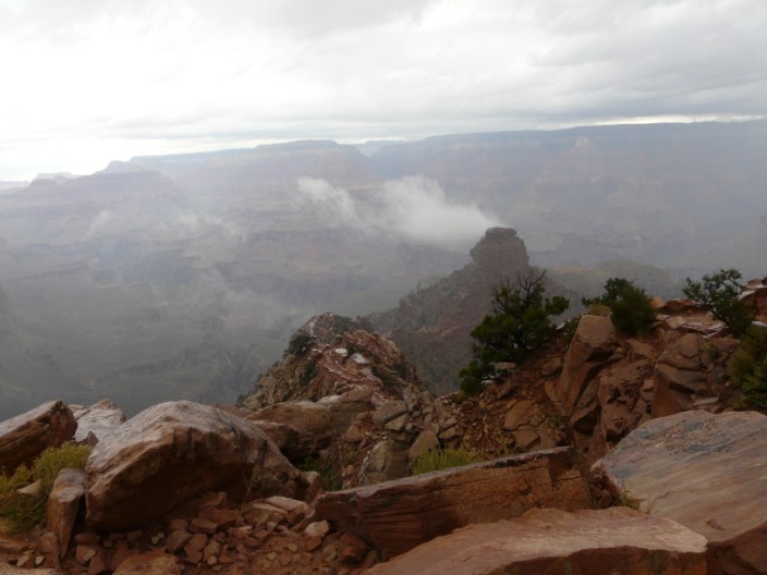
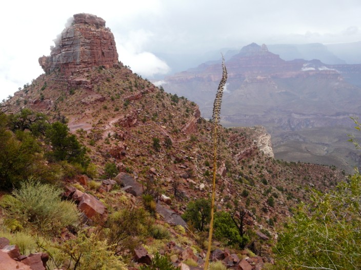
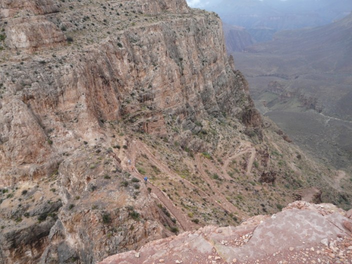
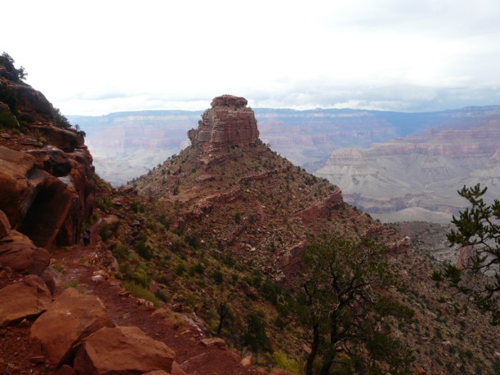
Skeleton Point is finally in view at the end of the ridge
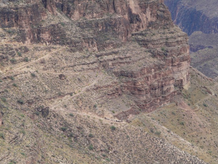
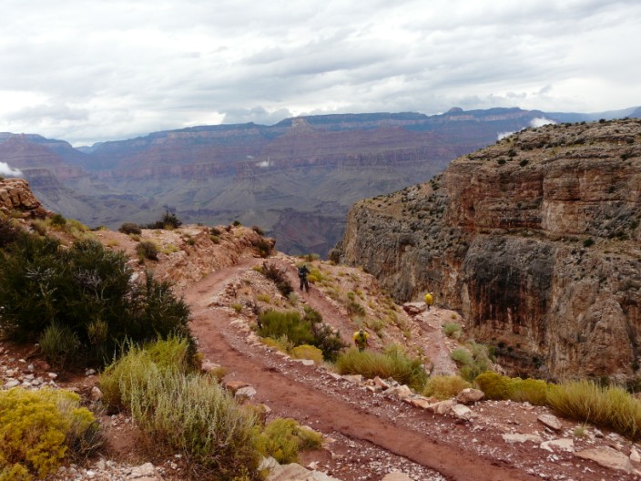
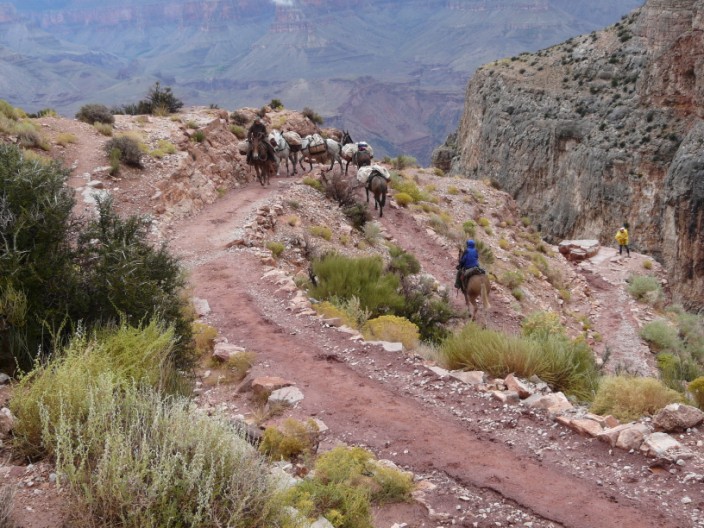
Zooming in on the zig-zags we can just make out a mule train . . .
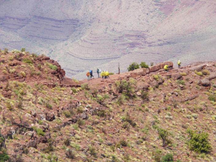
and higher up a group sporting yellow capes
Continuing on . . .
we pause at the same vantage point . . .
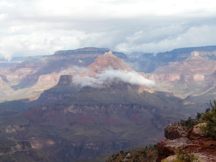
where Duncan points out something of interest . . .
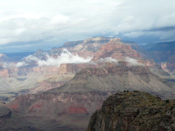
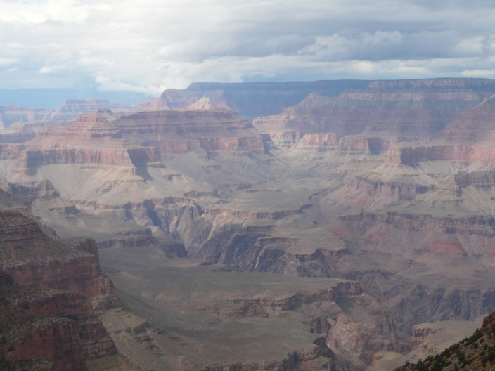
and I zoom in on 'atmospheric' cloud
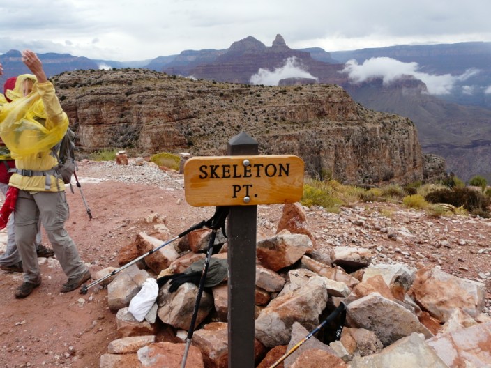
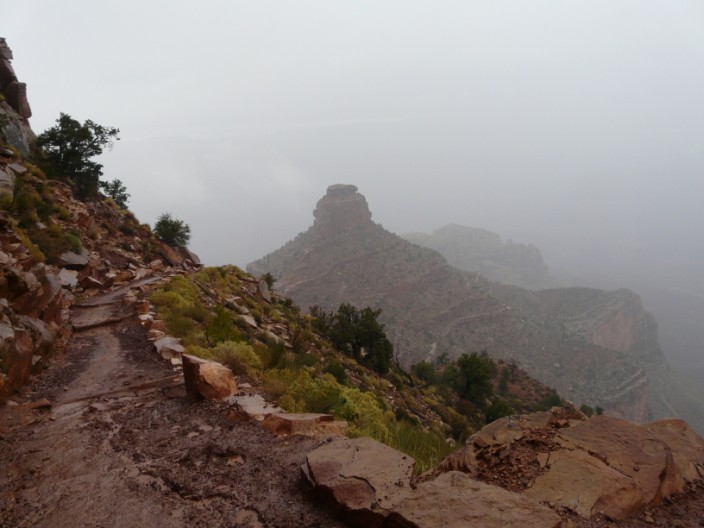
Finally reaching our goal . . .
we spot another vantage point a little lower down . . .
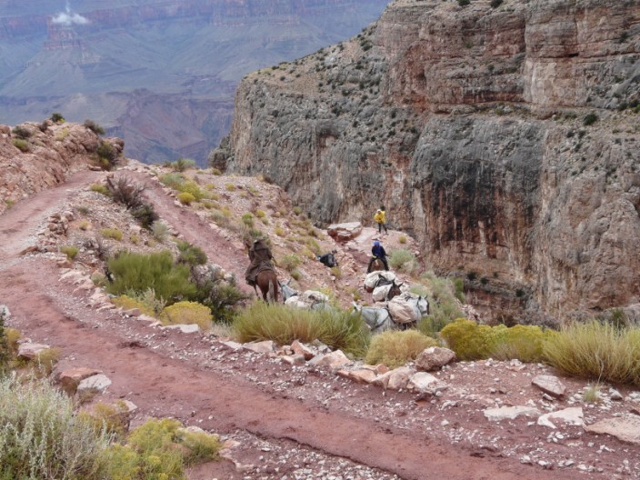
and the mule train seen earlier . . .
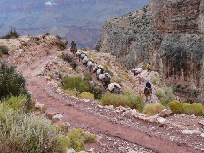
has reached the last of the switchbacks . . .
carefully navigating the sharp bends . . .
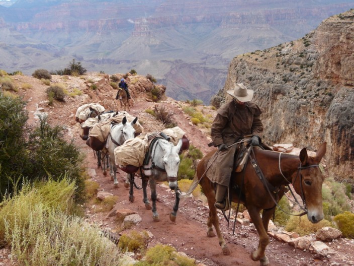
on its 3.5 hour journey . . .
to the top
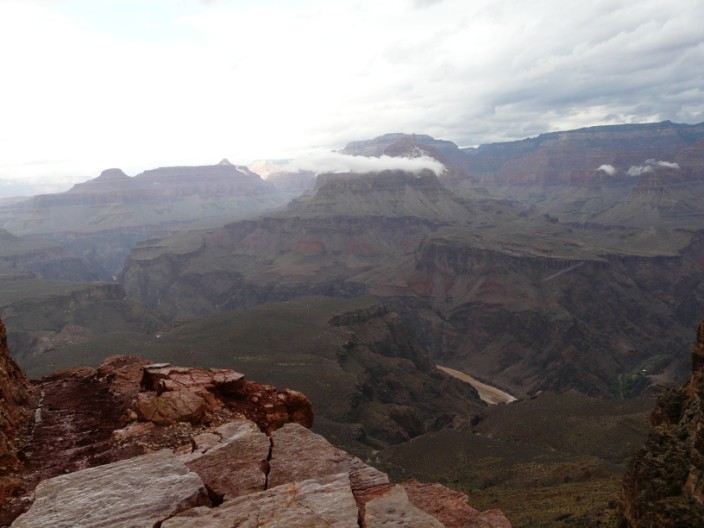
The Colorado River is visible from the lower vantage point . . .
but it's a steep drop form here
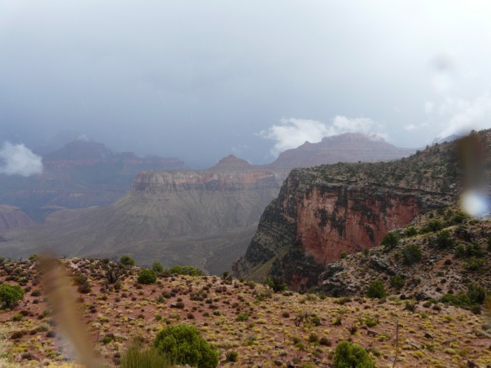
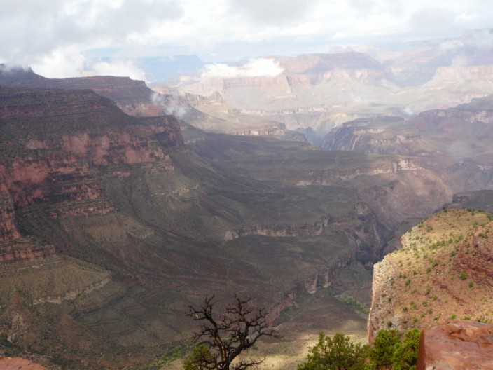
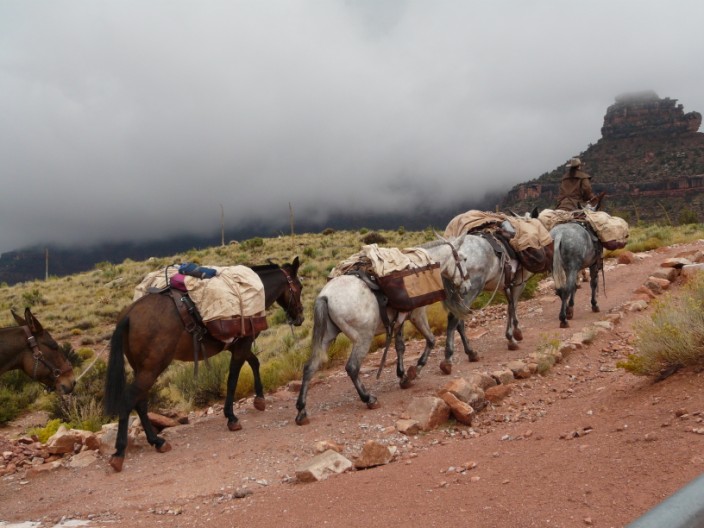
The weather starts to close in . . .
and a blanket of cloud covers Skeleton Point
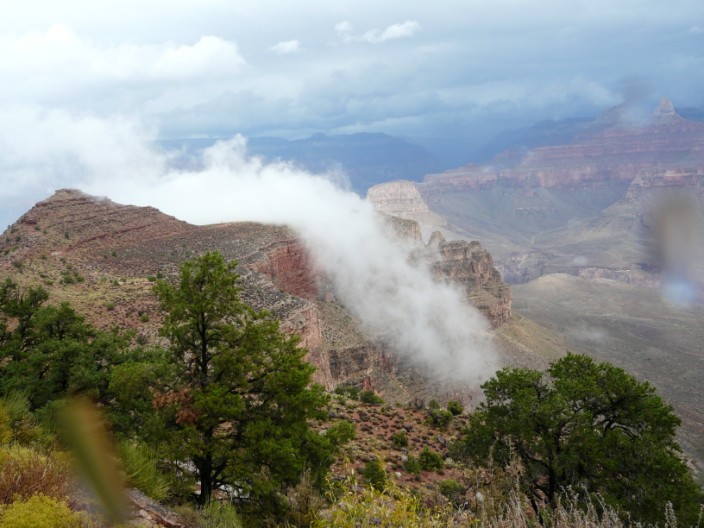
Dark skies to the east . . .
but blue skies ahead . . .
as we return . . .
past vantage points enjoyed on the way down
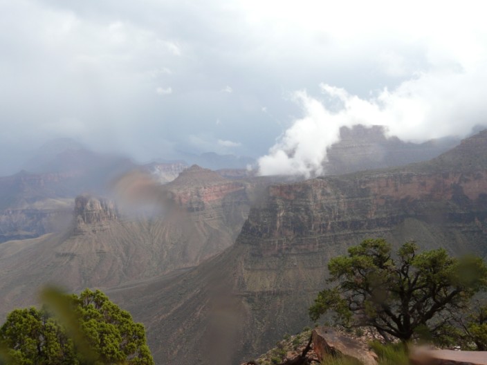
And as the weather clears again . . .
time for another photo before leaving the trail