Friday, 5th April 2019
| Walk: | Austwick, Town Head, Crummack Lane, Crummack Dale, Moughton Scars, Long Scar, Clapham Bottoms, Trow Gill, Clapdale Drive | ||
| Start Point: | Clapham Riverside | Grid Reference: | SD 745 693 |
| Distance: | 10.5 mniles | Ascent: | 2,000 feet |
| Time: | 5 hours | ||
| Weather: | Sunny spells with a cold wind on the tops | ||
| Comments: | After a second attempt at finding Beggar Stile from Moughton Scars into Crummack Dale I decided to do a similar walk the opposite way round. In this direction it was easy to find the stile and I found out that the main route from there to Theives Moss is not where it is marked on the map. The one marked on the map follows a very indistinct path through the limestone pavement. | ||
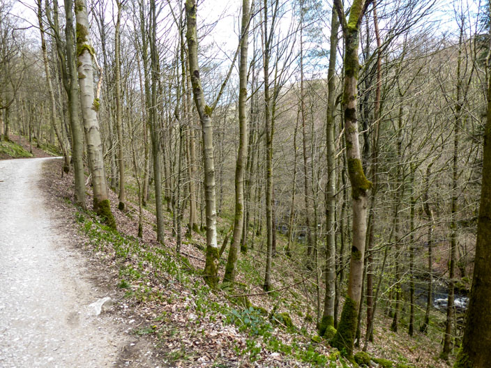
En route from Clapham to Austwick
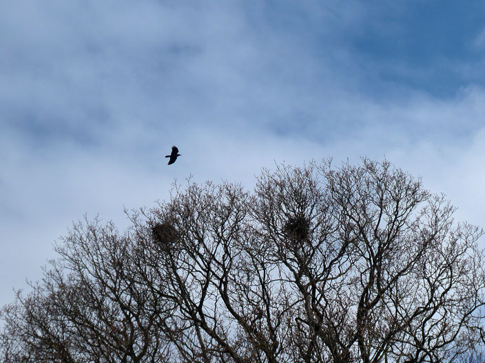
Now which nest shall I have?
From Town Head Lane some erratics can be seen at Nappa Scars
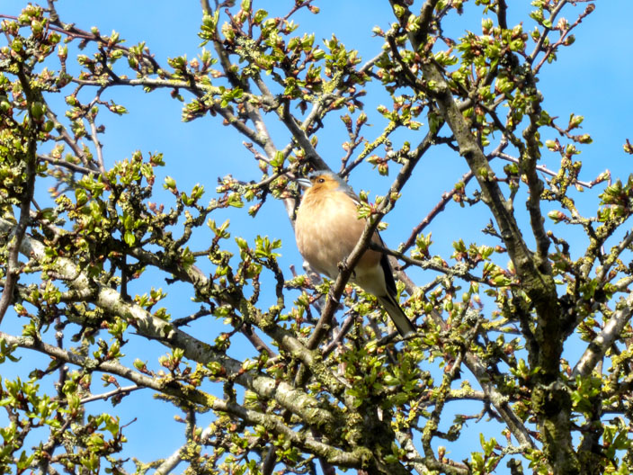
A female chaffich . . .
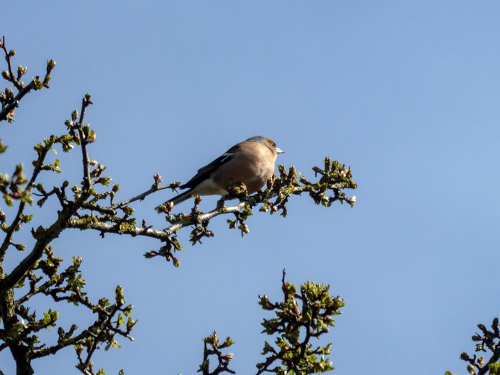
calls for a mate
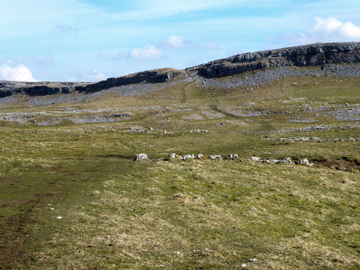
Approaching Moughton Scars . . .
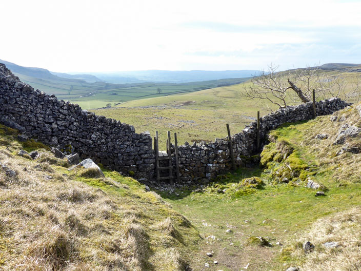
there is a clear path leading to Beggars Stile
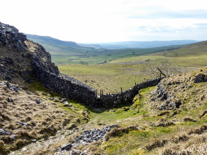
Having climbed over the ladder stile . . .
there are good views back down Crummack Dale . . .
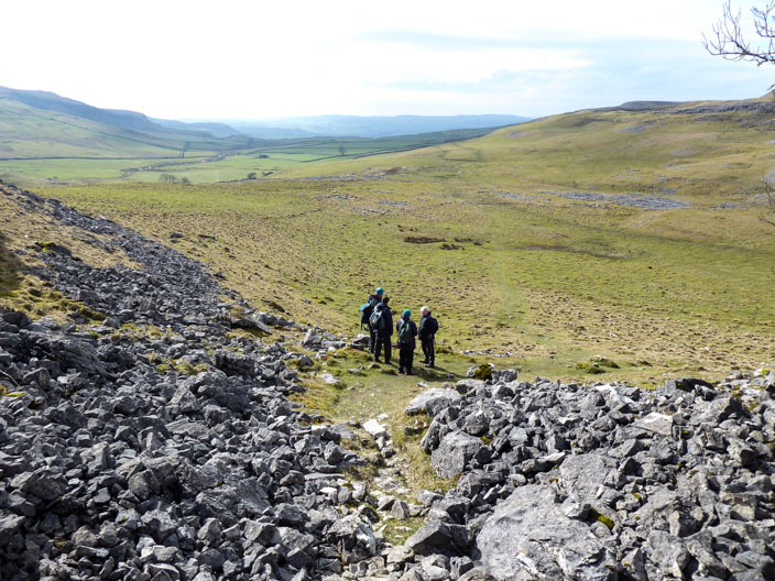
and a recceing group stop to hear information from the leader
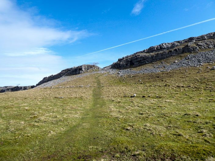
The ongoing path is quite clear from here but it isn't the one marked on the map
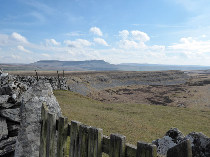
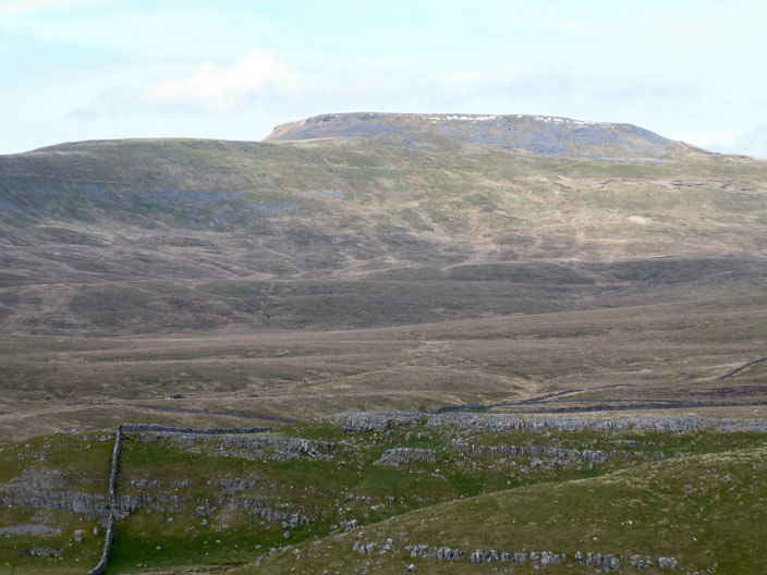
Looking across Thieves Moss to Pen-y-Ghent . . .
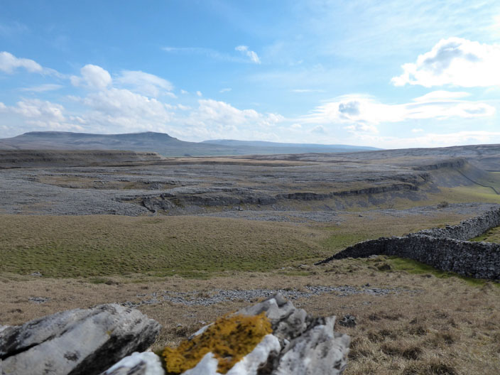
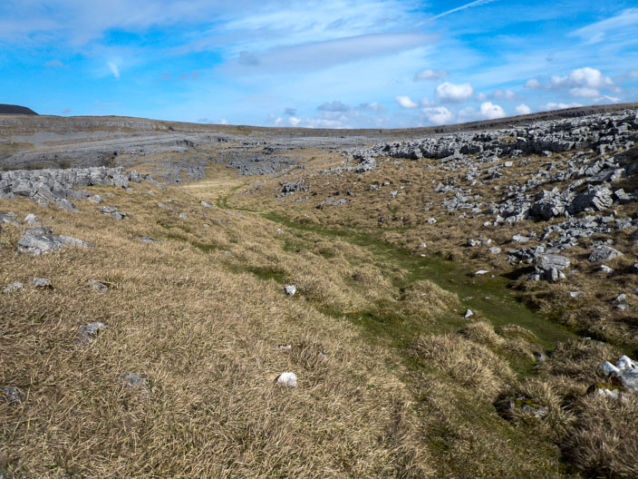
and over Moughton Scars limestone pavement
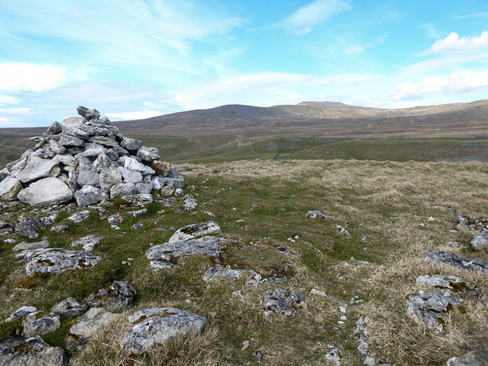
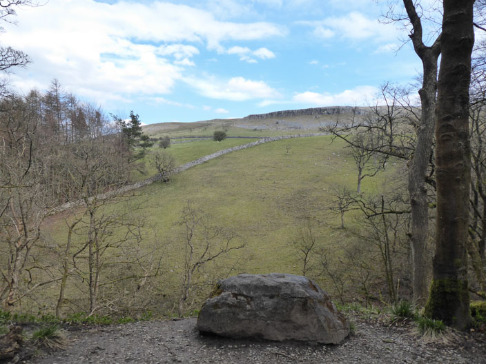
From Long Scar . . .
snow can still be seen on Ingleborough
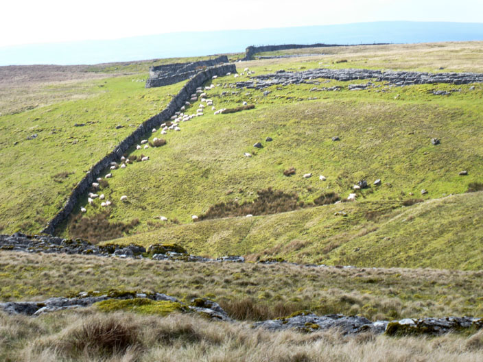
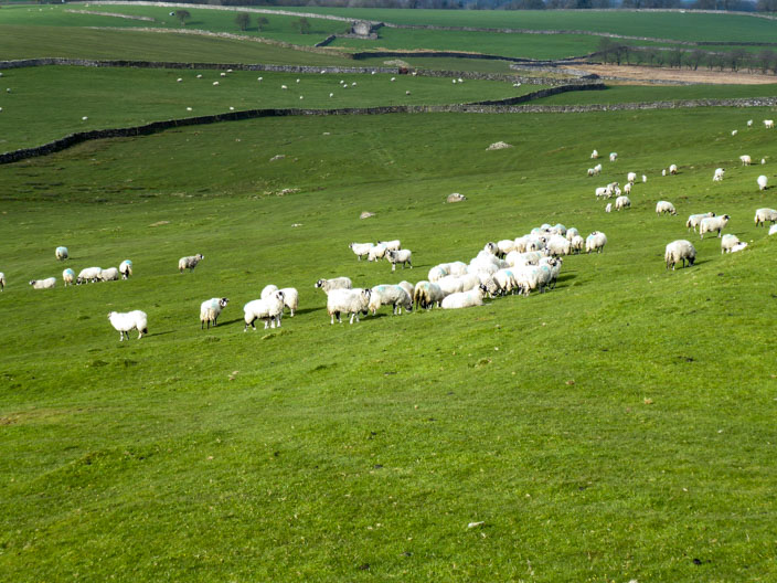
Even the sheep are sheltering from the cold wind
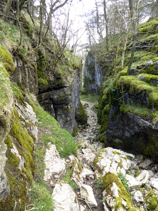
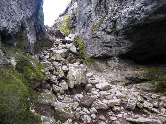
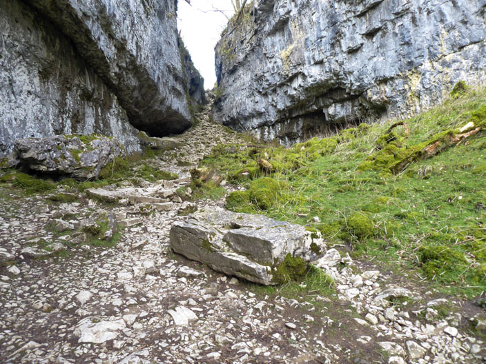
A rocky path heads down into Trow Gill . . .
where the path becomes less steep as the Gill widens
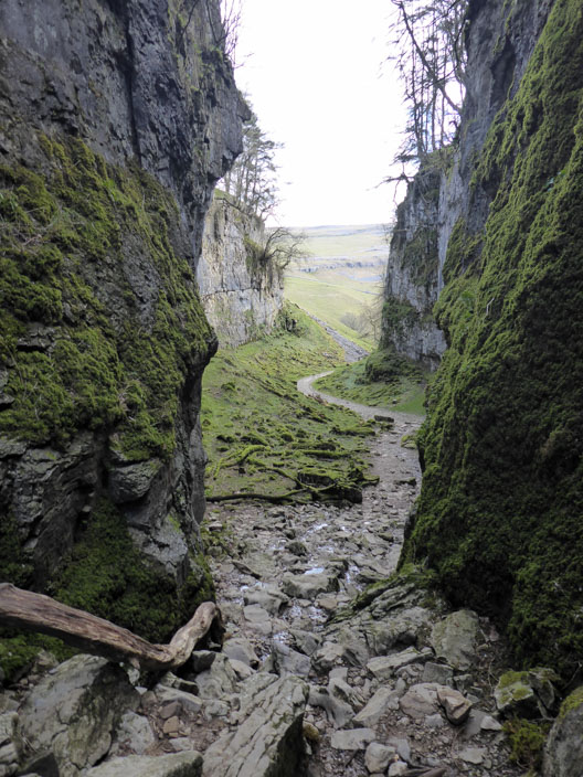
Looking back up the Gill from the bottom of the steep section . . .
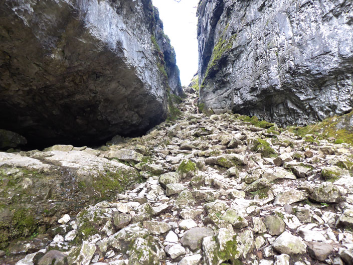
and again from lower down . . .
and again from the bottom
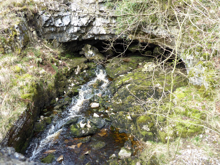
Beck Head . . .
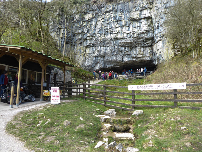
beside the entrance to the Ingleborough caves . . .
and again looking under the bridge
The Reginald Farrer Nature Trail to Ingleborough Cave and beyond was opened
in 1970 to mark European Conservation Year. It was created to celebrate the work
of Clapham-native Reginald Farrer, a plant collector and author, who travelled
the world gathering many rare plant species before cultivating them in the area.
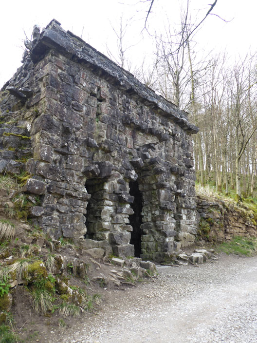
A shelter that was possibly built . . .
to enjoy the views acorss the valley
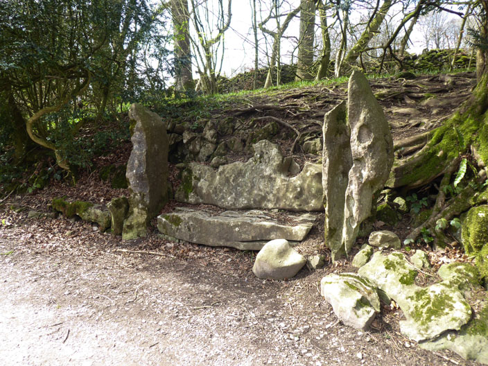
The stone seat doesn't look very welcoming
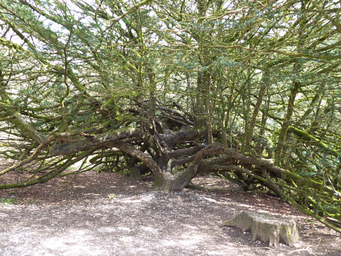
An amazing tree grows beside the path
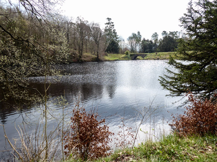
Ingleborough Lake formerly known as The Tarn, showing (left to right) the
overflow channel constructed in 1996, Encombe Bridge and the dam/embankment.
It is now marked as The Lake on recent maps
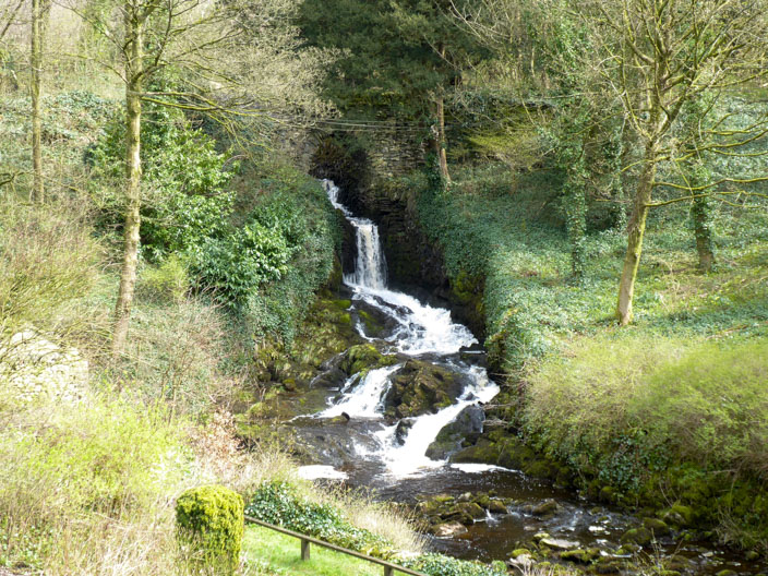
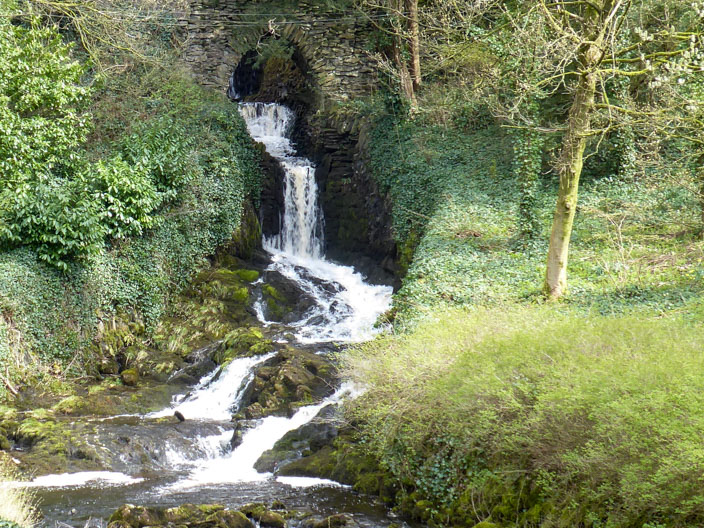
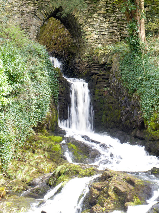
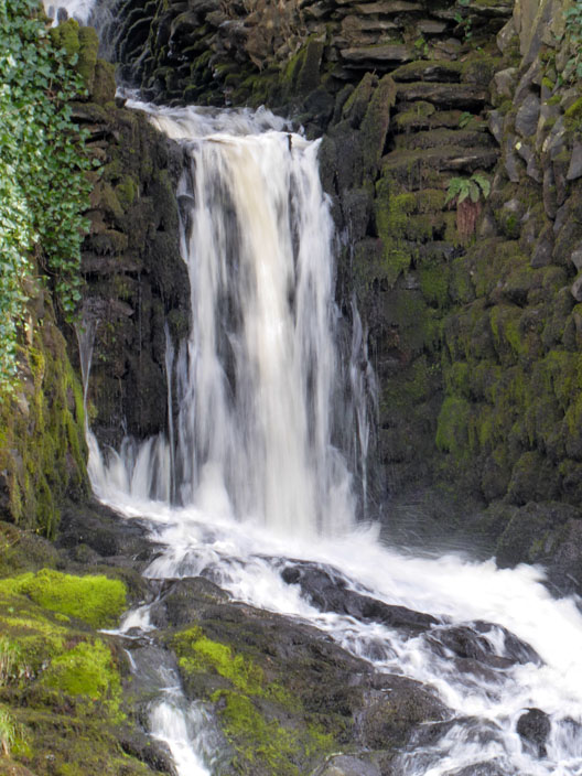
Clapham Falls is a man-made waterfall which sees Clapham Beck drop below a bridge,
in separate three tiers, from the lake above into Clapham itself.
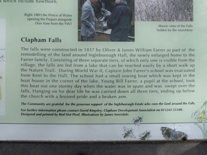
Information board
The waterfall was constructed in 1837 by Oliver and James William Farrar . . .
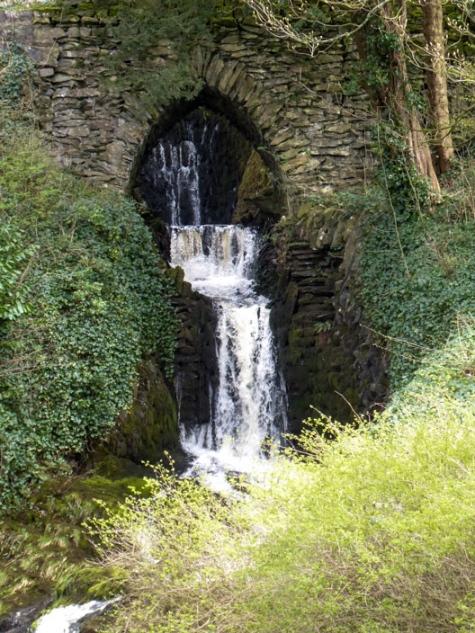
as part of the remodelling of the estate of Ingleborough Hall, the three levels can be seen in this shot
The last couple of photos . . .
give me a chance toplay with the camera