Friday, 26th January 2018
| Walk: | Dales Way, Providence Pot, Hag Dyke, Great Whernside, Blackfell Crags, Tor Dike, Starbotton Road, Starbotton, River Wharfe, Moor End, New Bridge | ||
| Start Point: | Kettlewell | Grid Reference: | SD 968 723 |
| Distance: | 10.5 miles | Ascent: | 2,700 feet |
| Time: | 6 hours | ||
| Weather: | Sunny but cold with some snow around | ||
| Comments: | With a sunny day forecast I decided to check out the walk I will be leading in a couple of weeks. The boggy parts of the walk weren't too bad and the worst bits could easily be avoided. By the end of the walk I decided that when I lead the walk I will leave out the final climb to Moor End, an extra 600 feet!! | ||
Heading along the Dales Way . . .
a sign of things to come
The footpath follows . . .
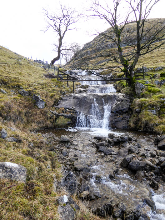
Dowber Gill Beck . . .
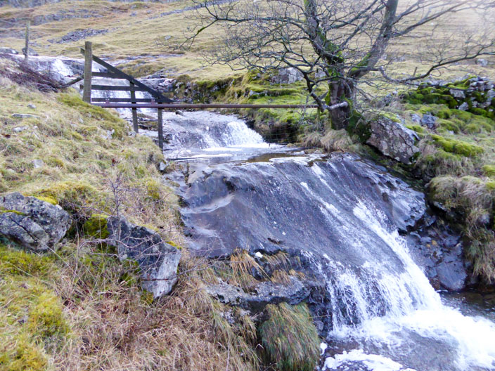
where water hurries over the rock . . .
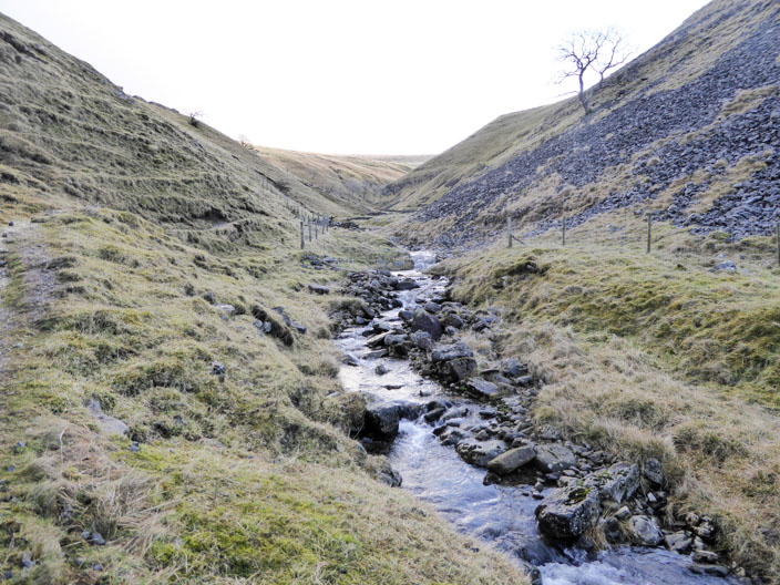
from higher up the gill
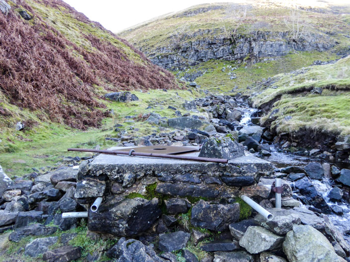
Providence Pot . . .
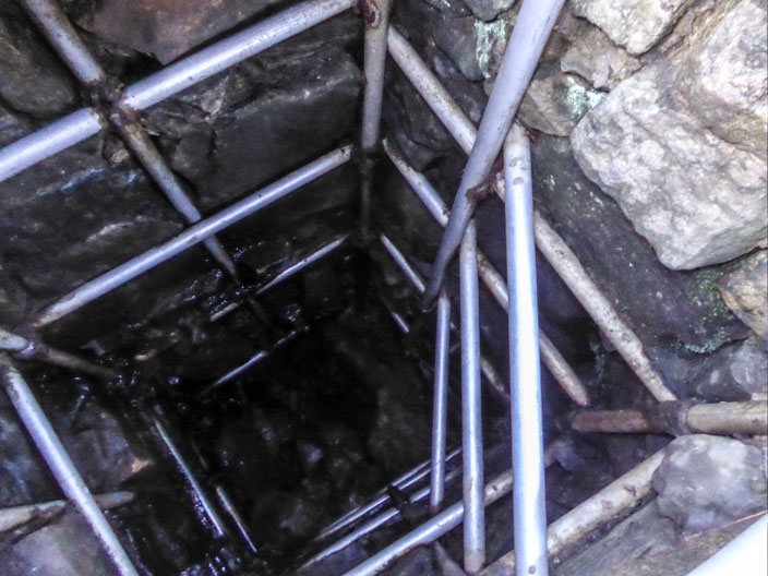
where the innards can be seen through the hole in the cover . . .

and another view shows my route to the right
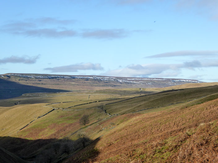
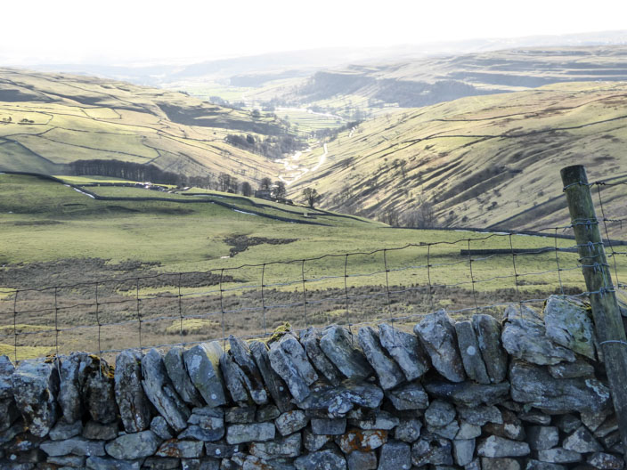
Snow still lies on the ridge on the opposite side of Wharfedale

Hag Dyke Scout Hostel, the original farmhouse dating back to 1730
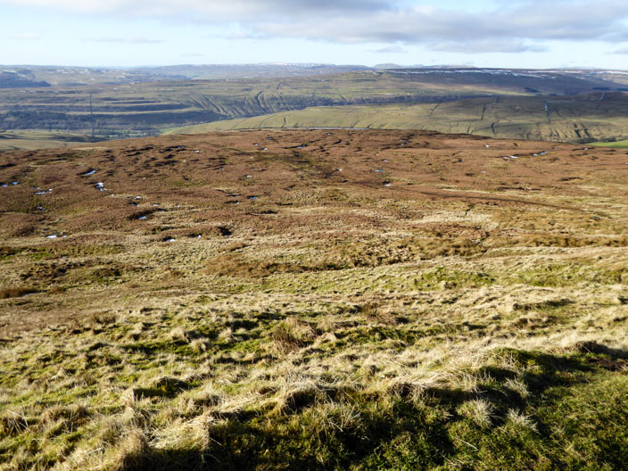
The boggy section!

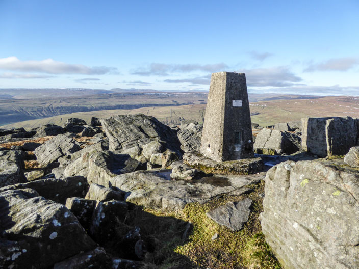
Approaching Great Whernside . . .
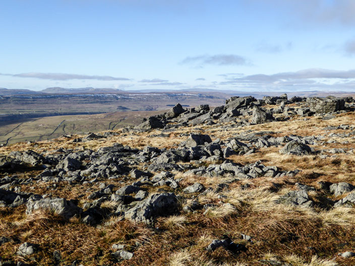
from where the Yorkshire Three Peaks can just be seen
Black Fell Crags
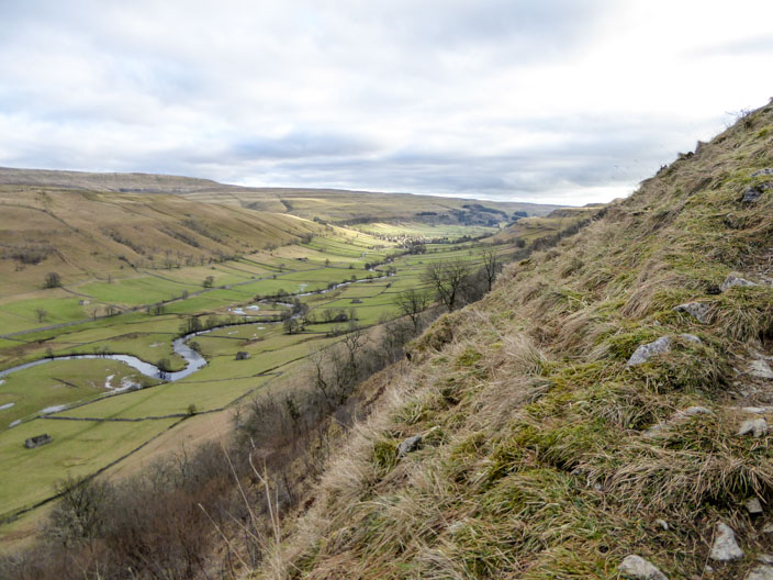
The sun highlights Park Gill Beck as it travels to Kettlewell

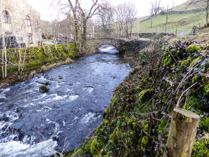
Crossing the River Wharfe . . .

which seems to be expanding itself . . .
before meandering to . . .
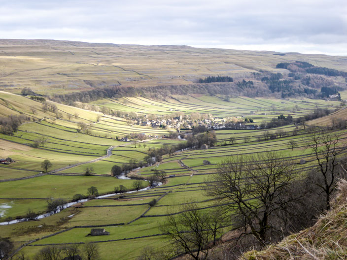
Kettlewell