Saturday, 9th July 2016
| Walk: | Southern Rim, Black Rock, Longwood Nature Reserve, Beacon Batch (summit of Black Down), wireless station, Blackmoor Nature Reserve, Velvet Bottom Nature Reserve, Northern Rim, | ||
| Start Point: | Lippiat Lane, Cheddar Village | Grid Reference: | ST 462 537 |
| Distance: | 11.5 miles | Ascent: | 2,020 feet |
| Time: | 6 hours | ||
| Weather: | Mainly cloudy and humid | ||
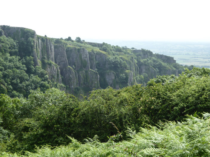
| Comments: | Cheddar Gorge was formed during the last Ice Age, when fissures deep under the Mendip's limestone cap were blocked by frozen water, forcing runoff from melting glaciers to scour the porous limestone surface into the deep trench we see today. A rich horde of prehistoric remains has been uncovered in Cheddar's caves, not least the complete, 9000 year-old skeleton known as "Cheddar Man" | ||
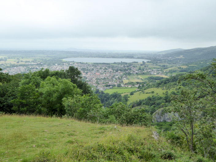
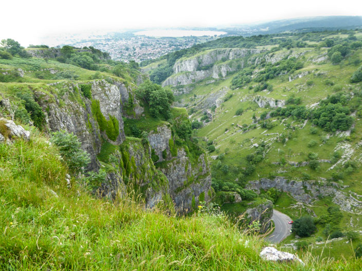
Over the Village to Cheddar Reservoir
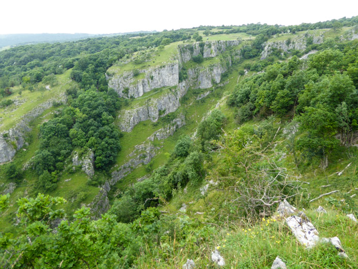
Looking across the gorge to the opposite cliff face
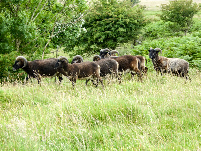
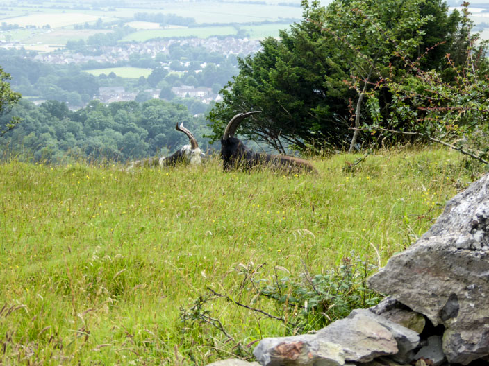
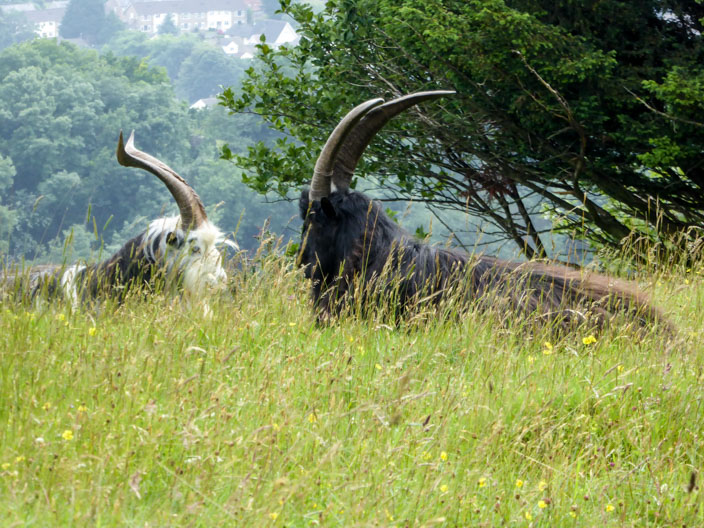
We encounter a flock of Soay sheep . . .
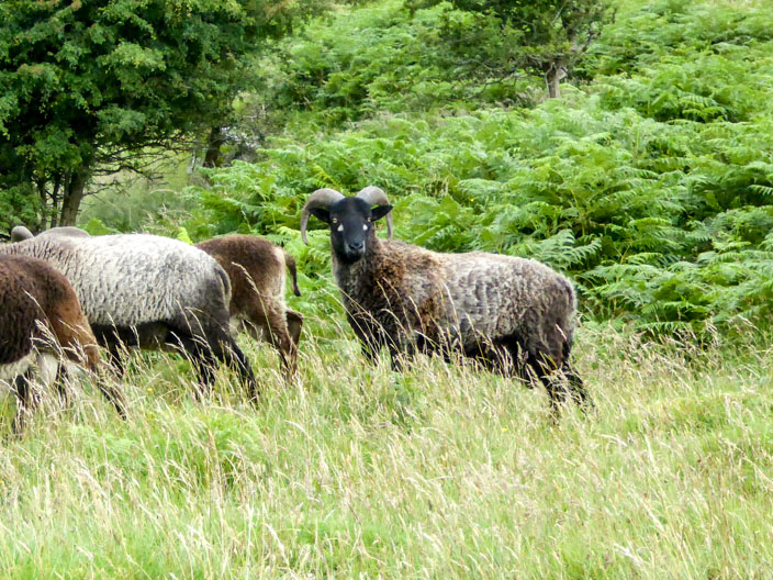
with long horns
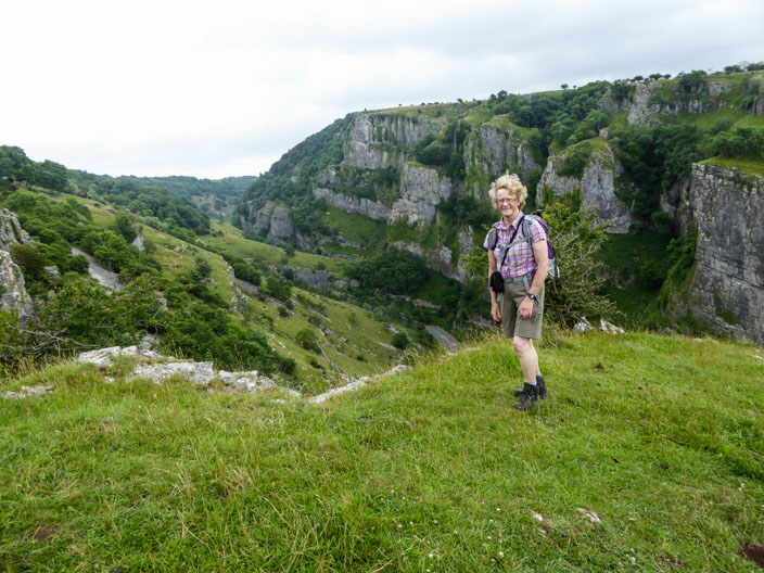
One of the vewpoints . . .
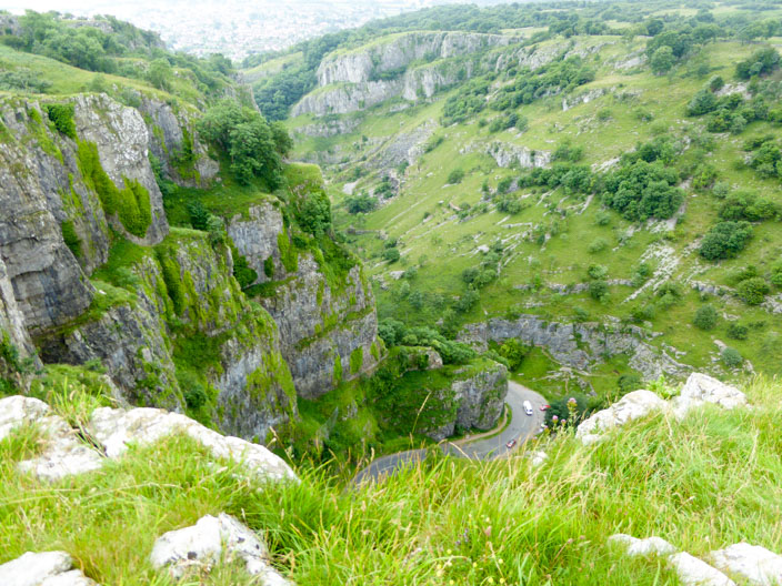
into the gorge
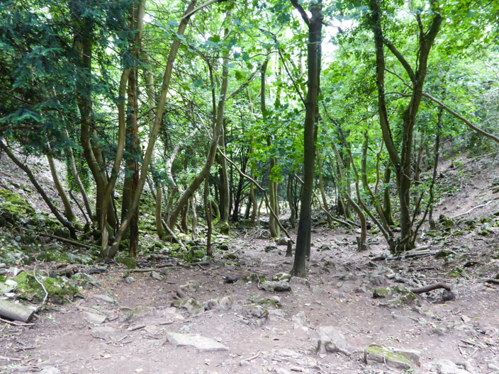
Walking through Longwood Nature Reserve . . .

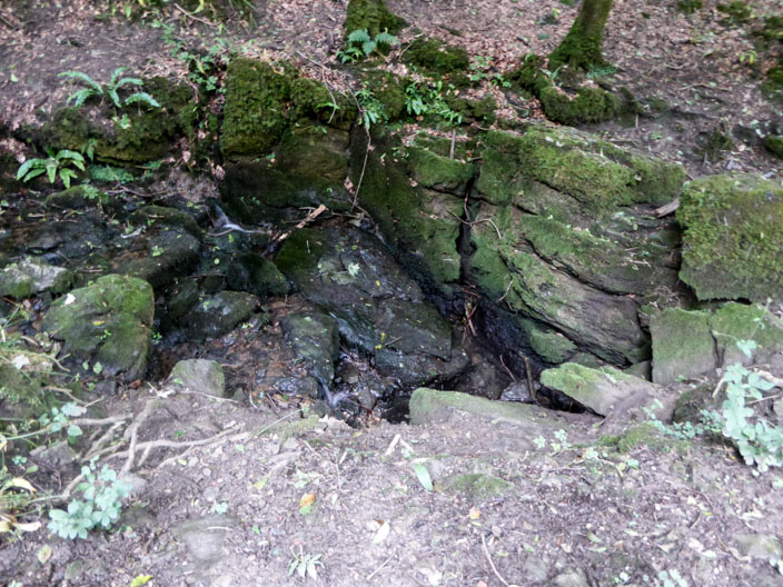
we encounter a sink hole, typical if limestone country . . .
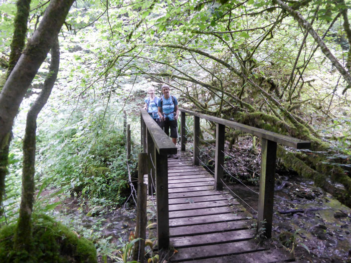
then cross the stream a little higher up
Beacon Batch . . .
the summit of . . .
Black Down
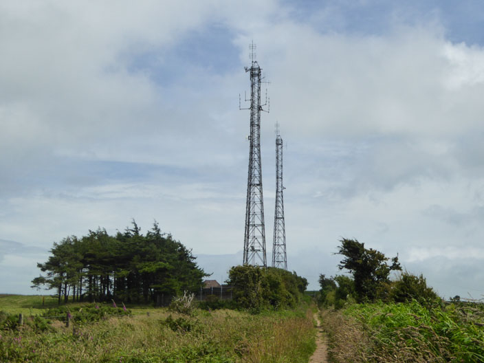
The wireless masts guide us from the summit
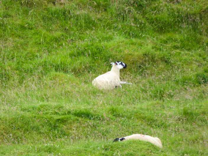
A few sheep seem to have taken up unusual positions . . .
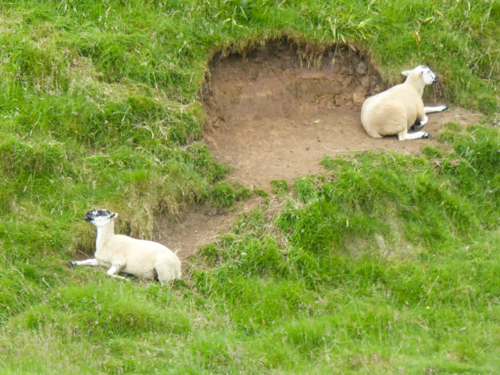
perhaps seeking shelter from the wind
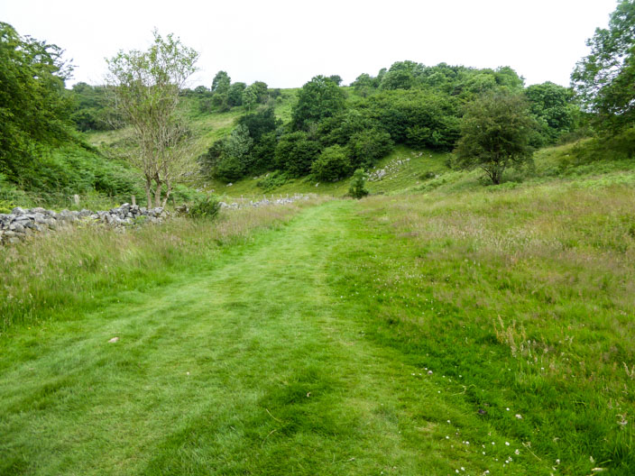
A lovely green path takes us through Velvet Bottom
Returning along the North Rim . . .
we encounter more sheep . . .
with long horns

Our final view . . .
into the gorge . . .
before descending along a rocky path . . .
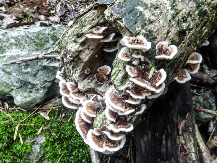
with time for a few shots of . . .
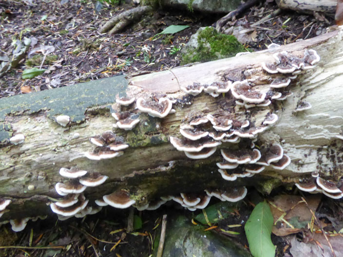
bracket fungus