Tuesday, 18th August 2015
| Walk: | Troutbeck Tongue, Park Fell, Froswick, Ill Bell, Yoke, Garburn Road (Track), The Howe | ||
| Start Point: | Church Bridge, Troutbeck | Grid Reference: | NY 412 027 |
| Distance: | 10.5 miles | Ascent: | 2,900 feet |
| Time: | 5.5 hours | ||
| Weather: | Overcast but mild | ||
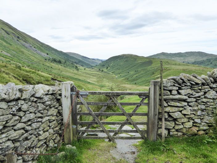
| Comments: | After visiting the cairn on Troutbeck Tongue I walked across Troutbeck Park to join the path that heads diagonally upwards across Park Fell. I eventually left this path to head up to Froswick and across Ill Bell and Yoke. After leaving Yoke I considered making my way to Sallows and Sour Howes but as it started to rain I decided to head straight down the Garburn Road and back to the car. A good walk with time spent taking photos on the summits. | ||
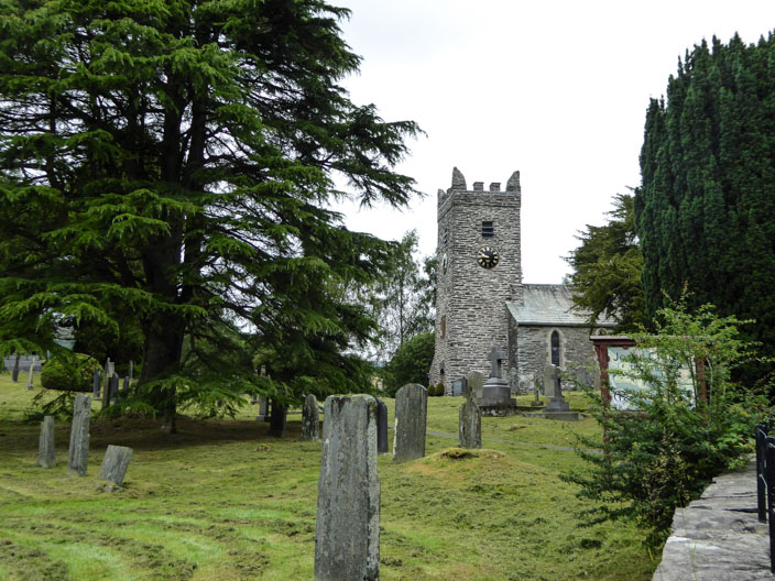
Troutbeck Church
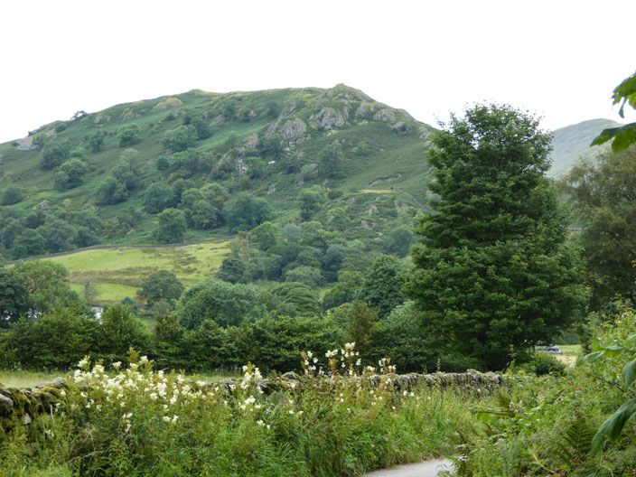
Approaching Troutbeck Tongue . . .
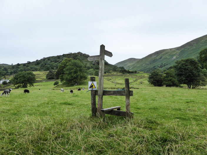
the 'lonesome stile' points the way across the field
Troutbeck Tongue with Threshthwaite Mouth in the distance . . .
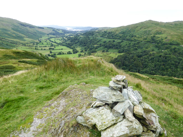
and in the opposite direction the valley I have just walked along . . .
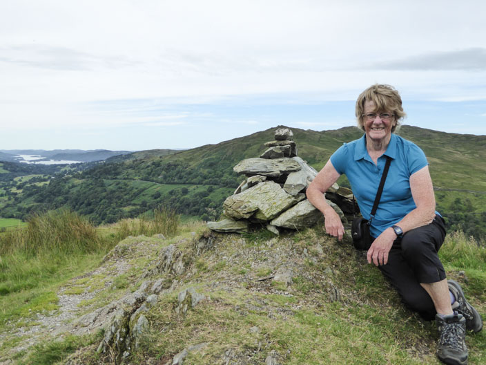
for a photo on the summit
Looking back across Troutbeck Park . . .
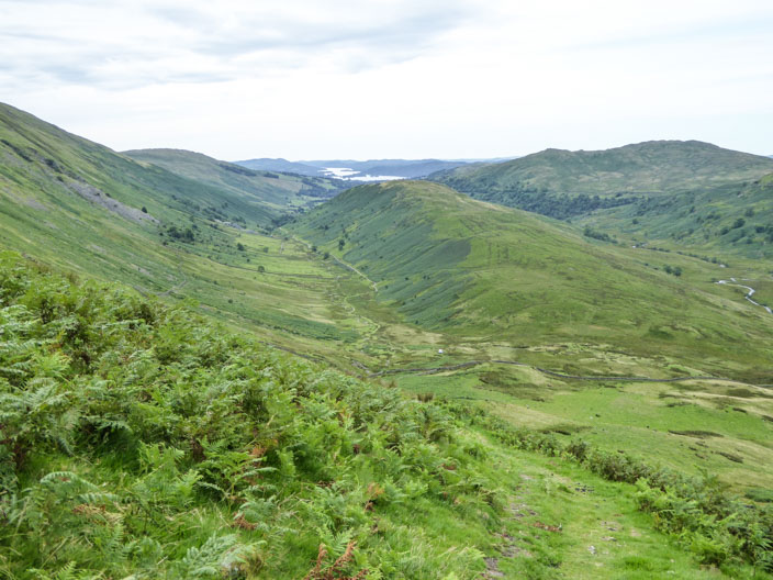
and again from higher up
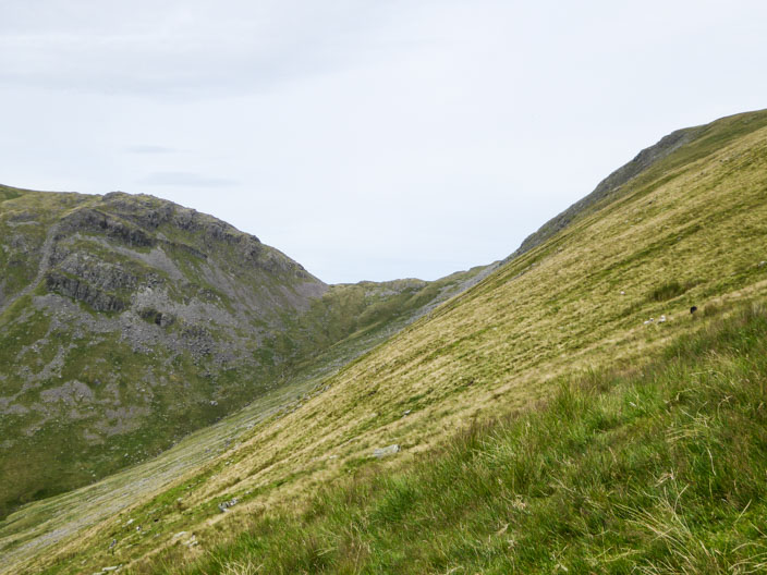
Zooming in on Threshthwaite Mouth with Stony Cove Pike on the left and the ascent to Thornthwiate Crag on the right
Froswick, looking north to Thornthwaite Crag . . .
and south to Ill Bell . . .
but it's a bit breezy up here
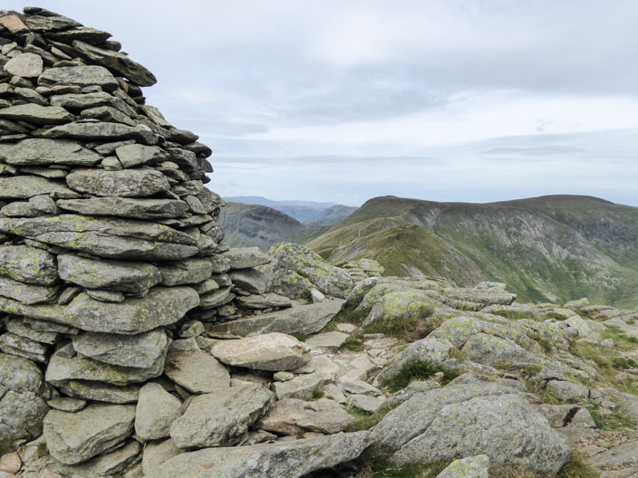
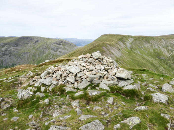
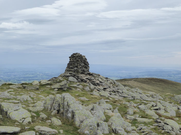
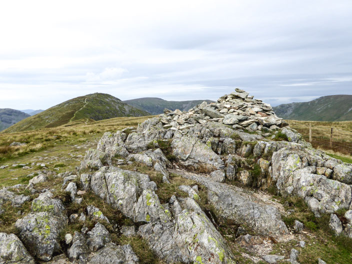
The northern cairn on Ill Bell . . .
is also the highest - but not by much . . .
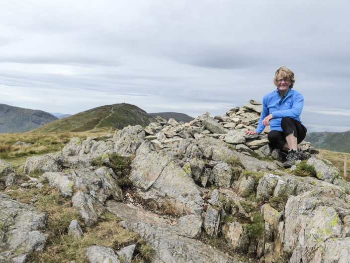
so my first photo here
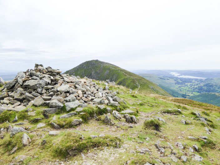
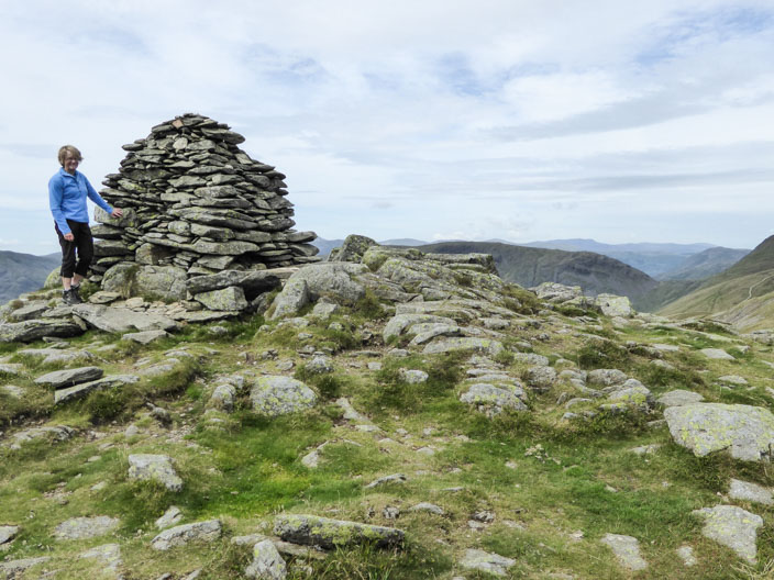
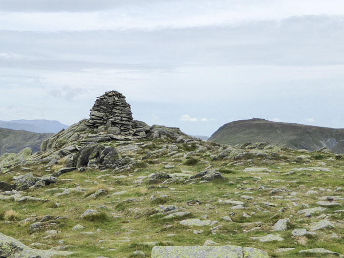
Approaching the middle cairn the southerly and smallest cairn comes into view
and a slightly different angle shows the route to Yoke
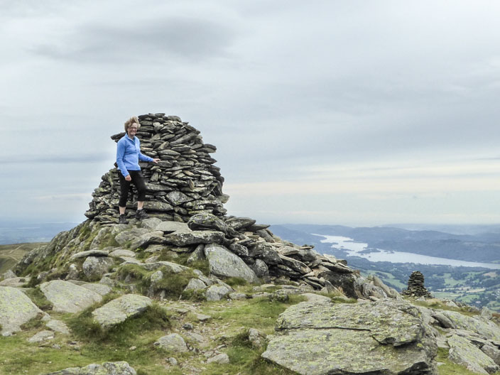
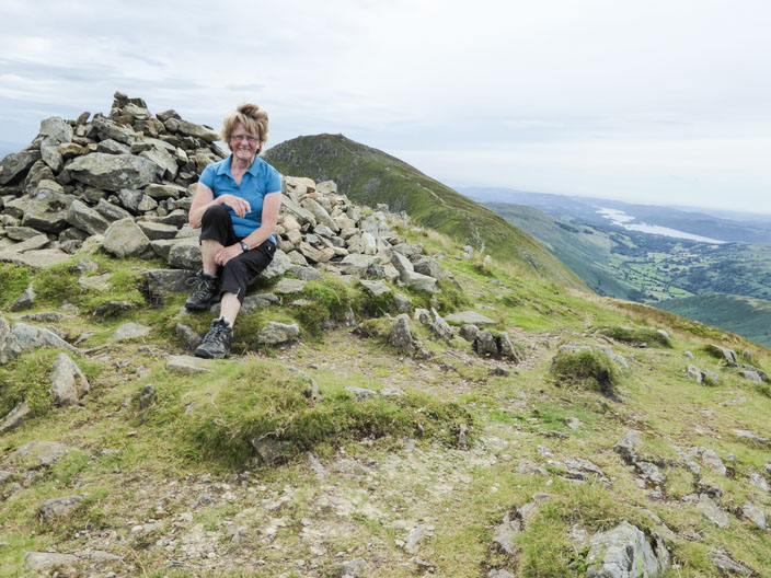
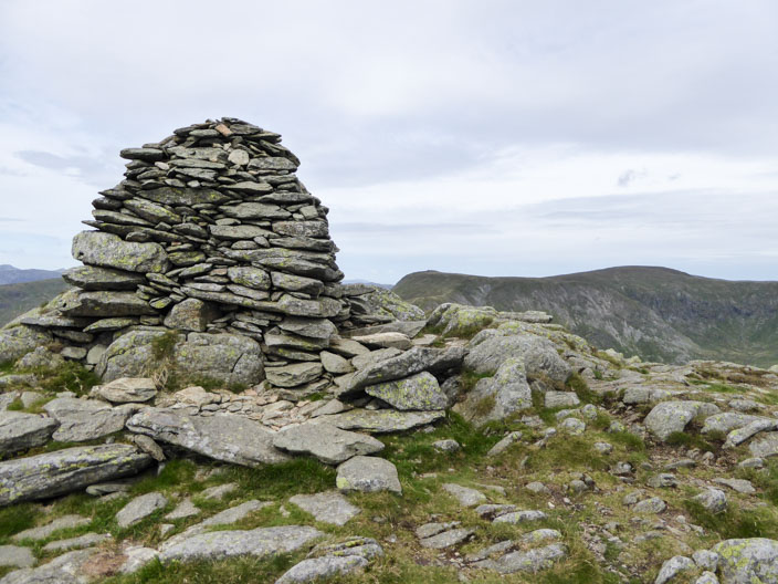
Time for a photo on the middle cairn . . .
before a last look to the north . . .
and the south . . .
before leaving the summit . . .

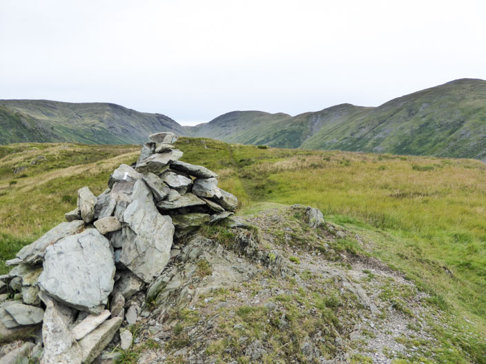
with its three distinctive cairns
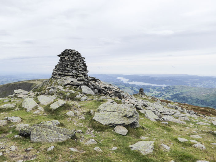
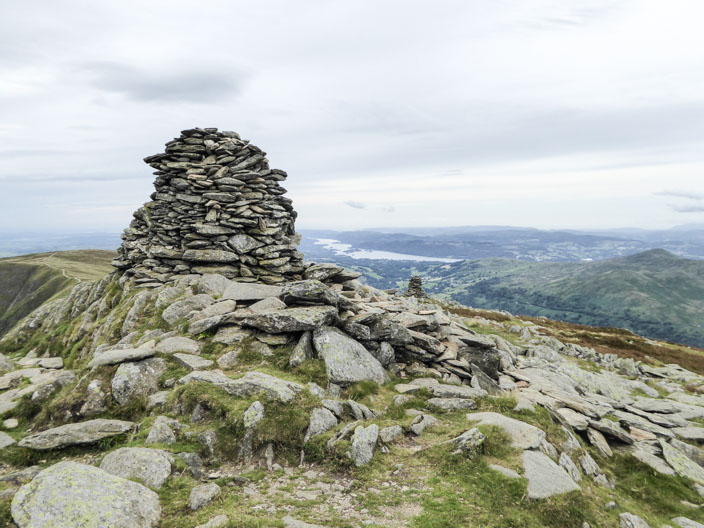
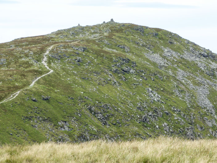
Yoke is a much smaller affair . . .
and easier to get a photo - before the rain moves in