| Walk: |
Apronfull Hill, Mearley Moor,
Scout Cairn, Hookcliffe,
Pendle Hill, Pendle
House, Upper Ogden Reservoir, Spence Moor, Deerstones |
| Start Point: |
Nick of Pendle |
Grid Ref: |
SD 771 385 |
| Distance: |
12.4 miles |
Ascent: |
2,690 feet |
| Weather: |
Sunny with intermittent cloud
cover |
Time: |
6 hours |
| Comments: |
Having found the unmarked track from
Apronfull Hill to the Scout Cairn on my previous walk I tried this out
in the opposite direction today. It is a much pleasanter route than the
main track. From the Scout Cairn I dropped down to the lower flanks of
Pendle Hill and on through Hookcliffe plantation where it looks like
grouse butts have been set up. After heading back up to the summit I
took the 'non-tourist' route down to Pendle House. Heading south I
continued on to Upper Ogden Reservoir to climb onto Spence Moor - as
boggy as usual. During a short break at Deerstones I could hear a lot of
noise in the woodland north of Churn Clough Reservoir. As I passed the
woodland I spotted notices saying that the path through it was closed
due to tree felling - hence the noise. Fortunately I wasn't going in
that direction and took a fairly direct route back to the car. |
Scroll down to see photos of the walk
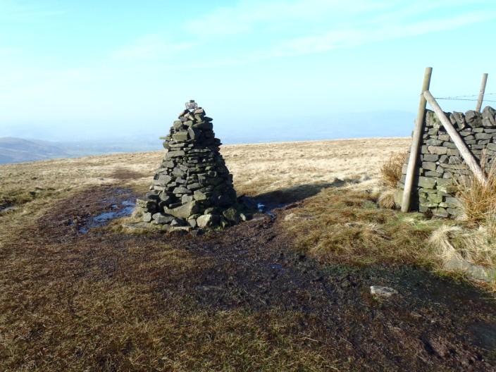
The cairn marks a meeting of paths that are not marked on the map above Mearley
Moor

The sunken wall . . .
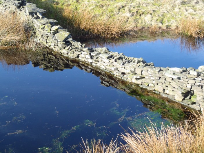
is reflected in the still water
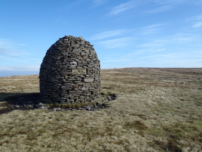
Descending from the Scout Cairn . . .
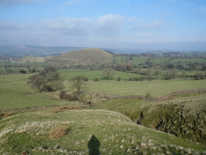
Worston Hill is dead ahead . . .
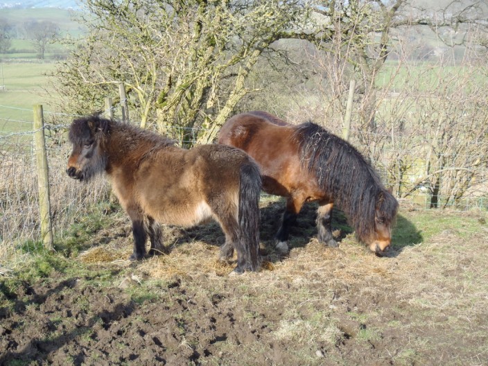
and a couple of fell ponies are not disturbed by this rambler
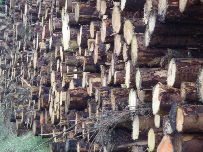
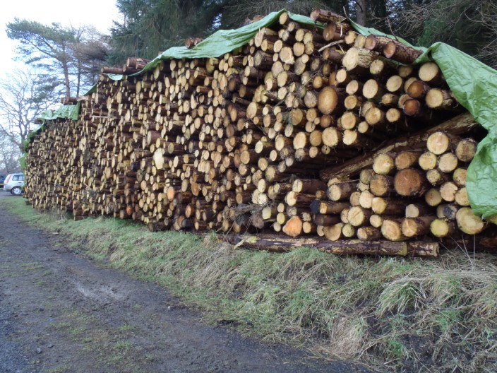
Lots of fires could be fuelled . . .
by this log pile . . .
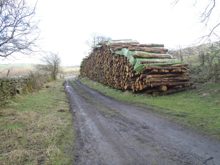
or this one!
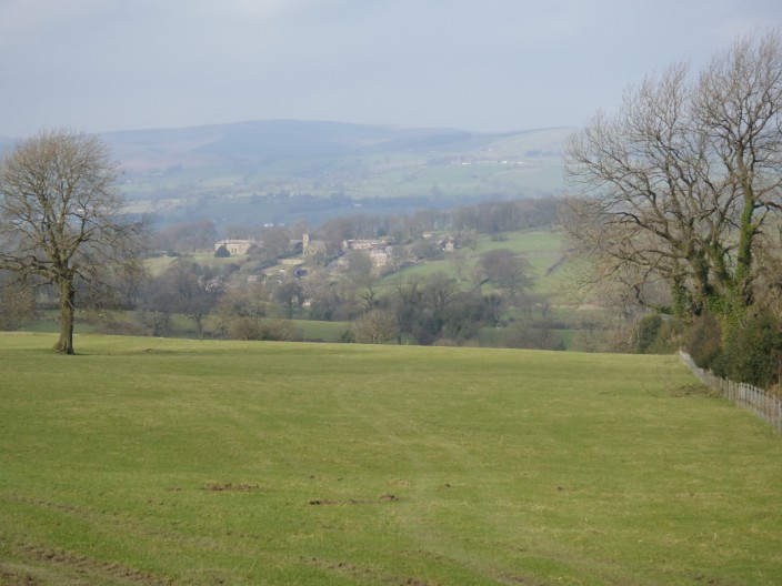
Downham from the ascent . . .

to Pendle Hill Summit (Big End)
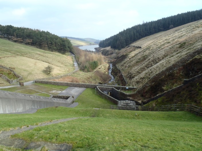
Lower Ogden Reservoir from the bank of Upper Ogden Reservoir

Looking back across to Pendle Hill from the climb onto Spence Moor

Churn Clough Reservoir
Return to 2012 Diary
Return to top